TBD 200 Gunflint Rd, Chatfield, MN 55923 (MLS# 6310435)
$1,350,000
Chatfield, MN 55923
MLS# 6310435
Status: Closed

1 / 110


Property Description
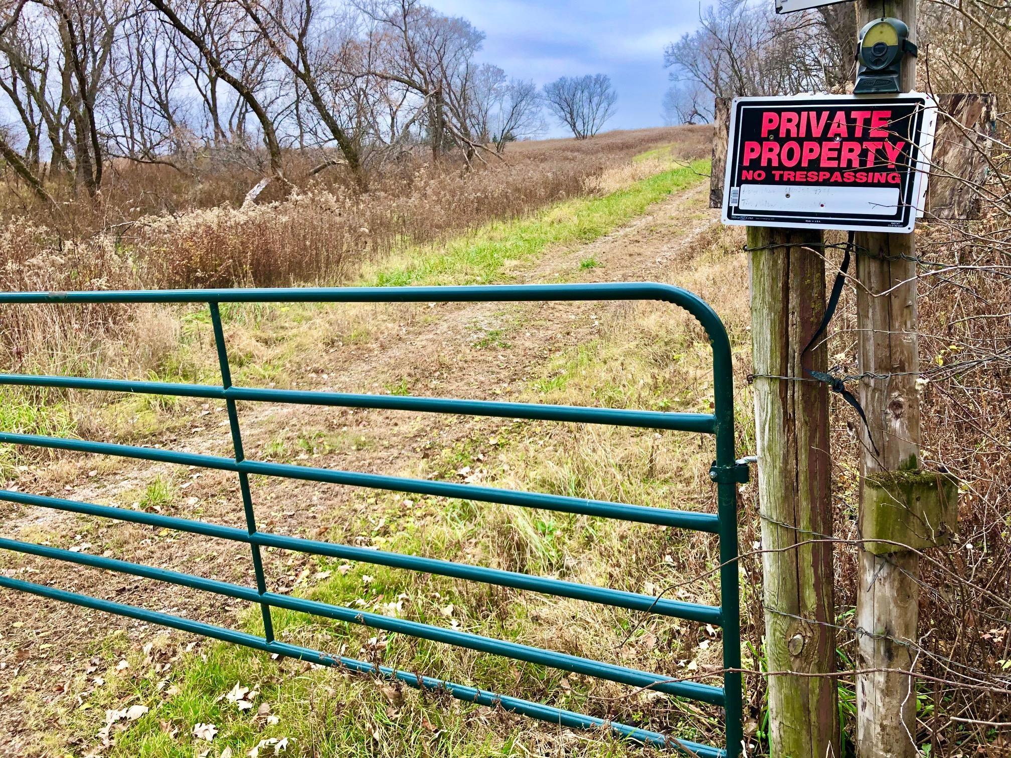
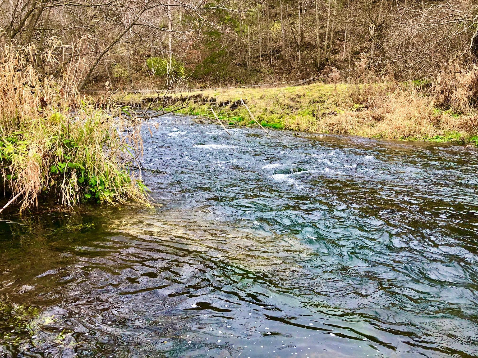
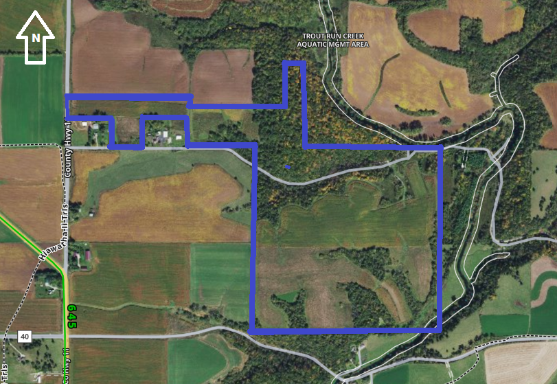
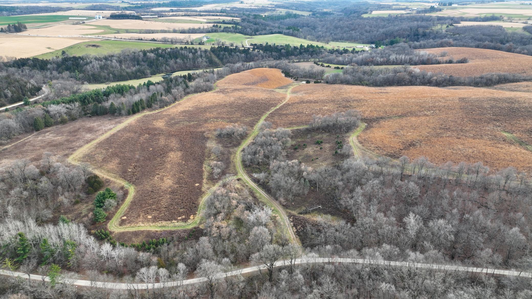
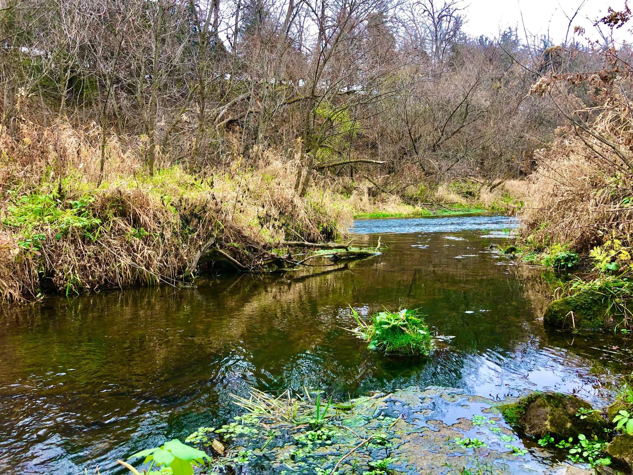
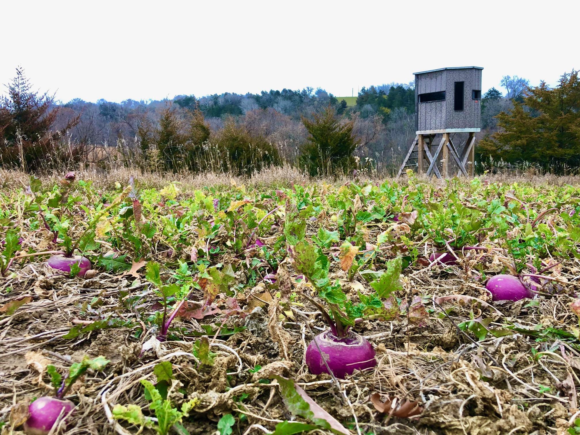
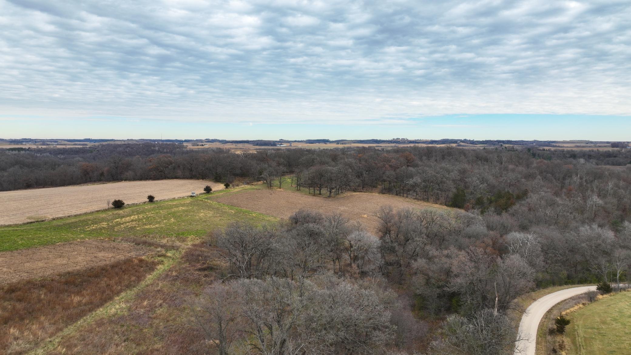
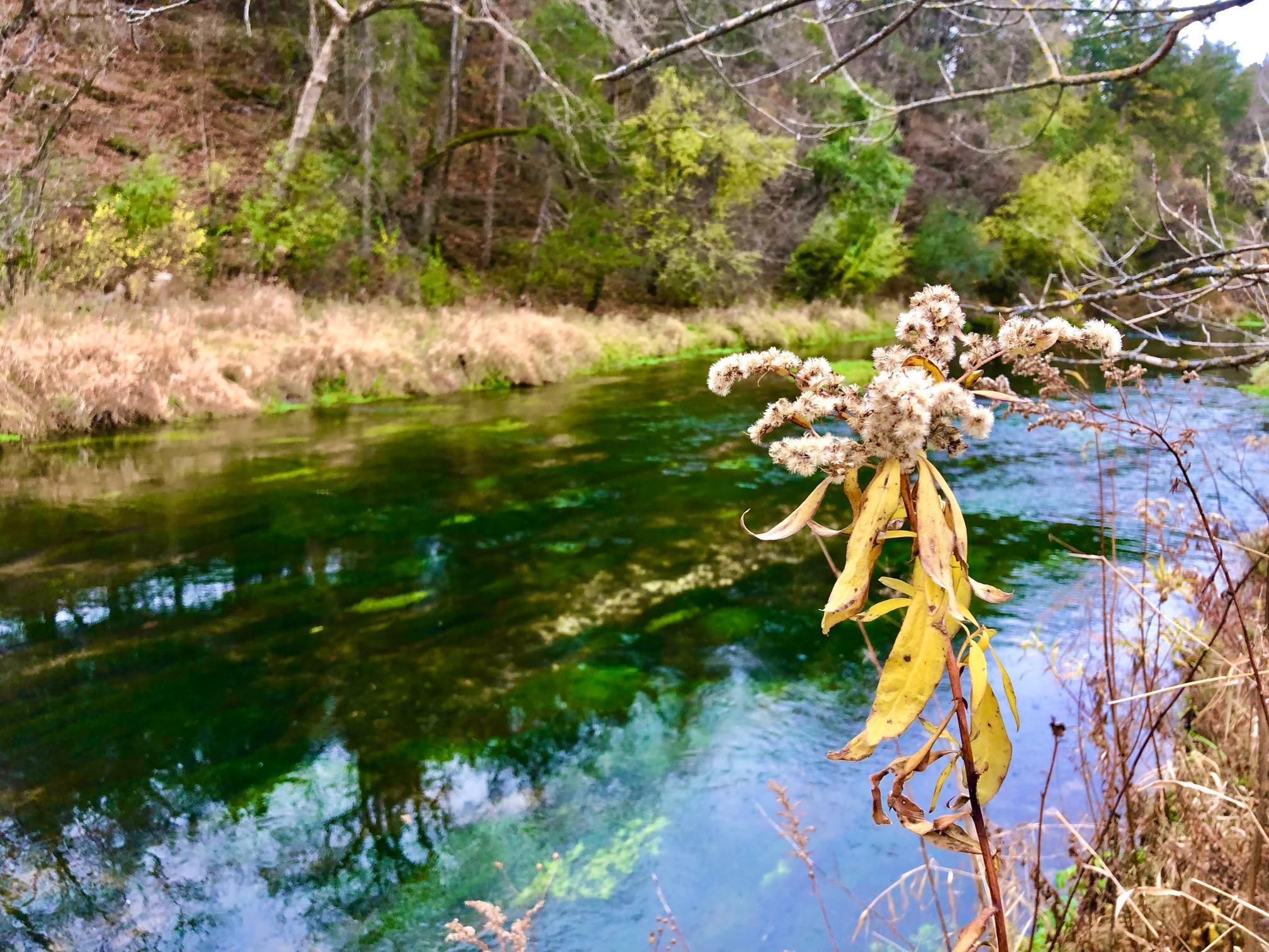
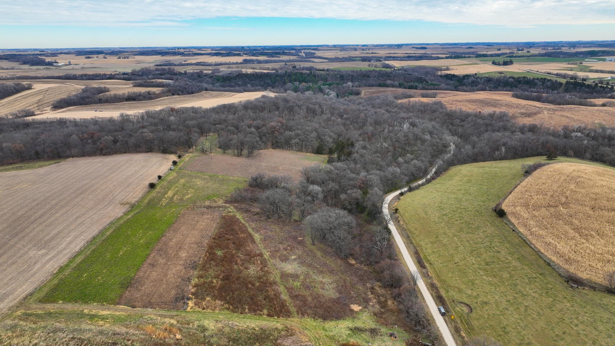
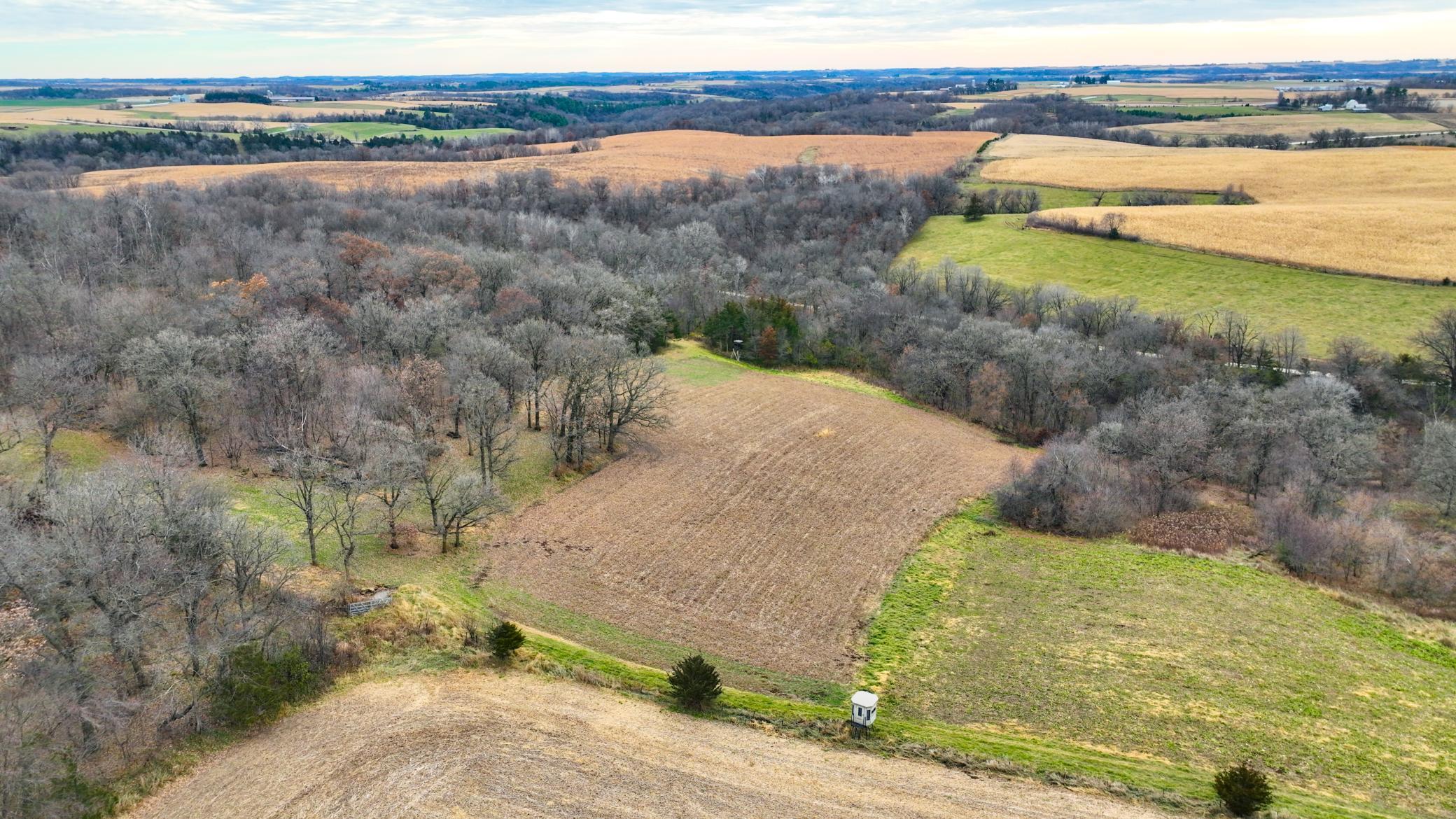
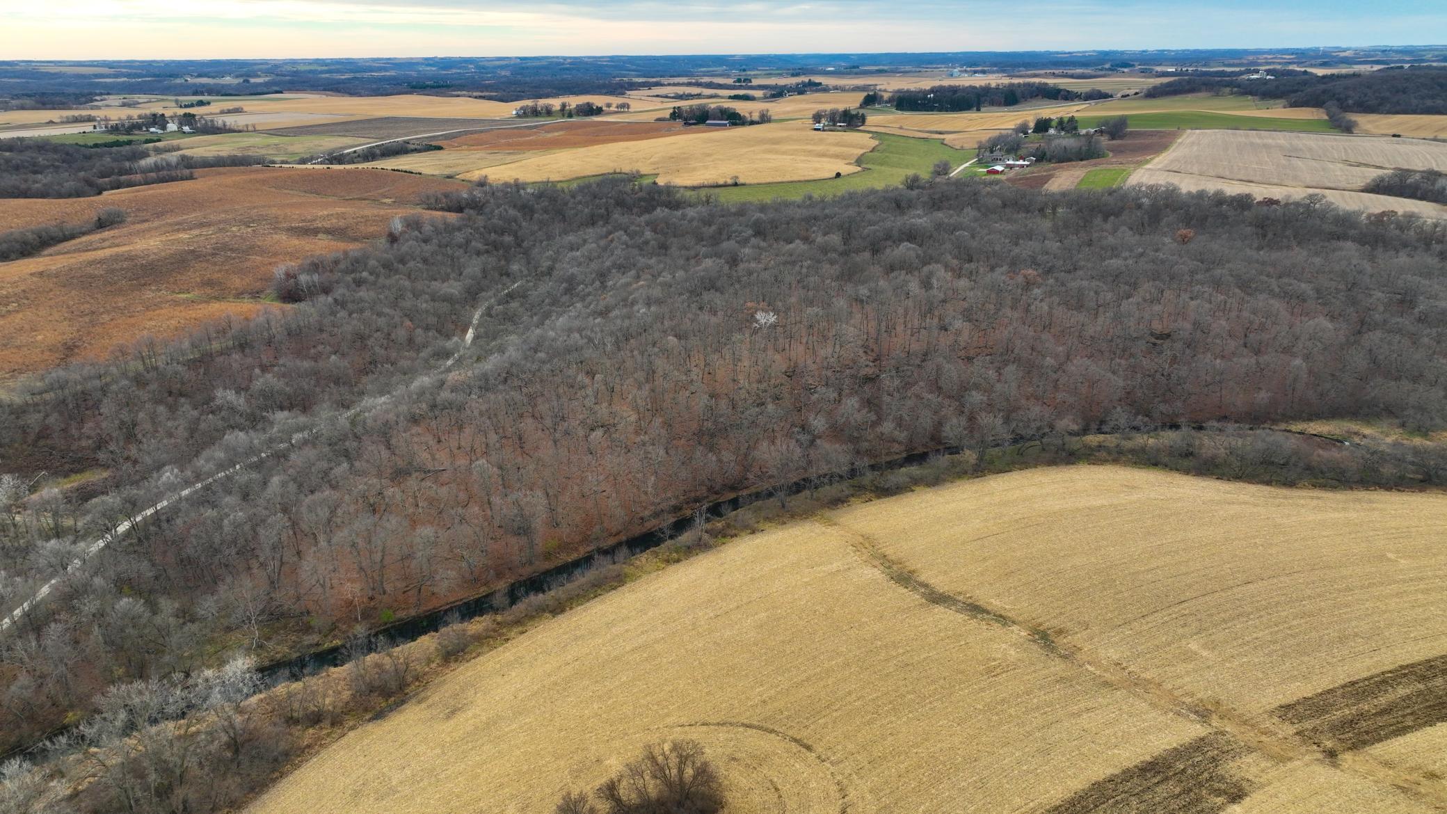
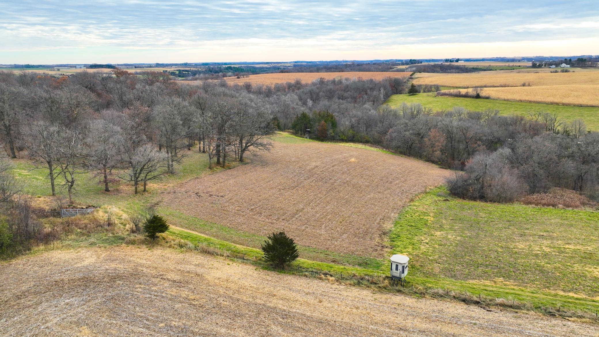
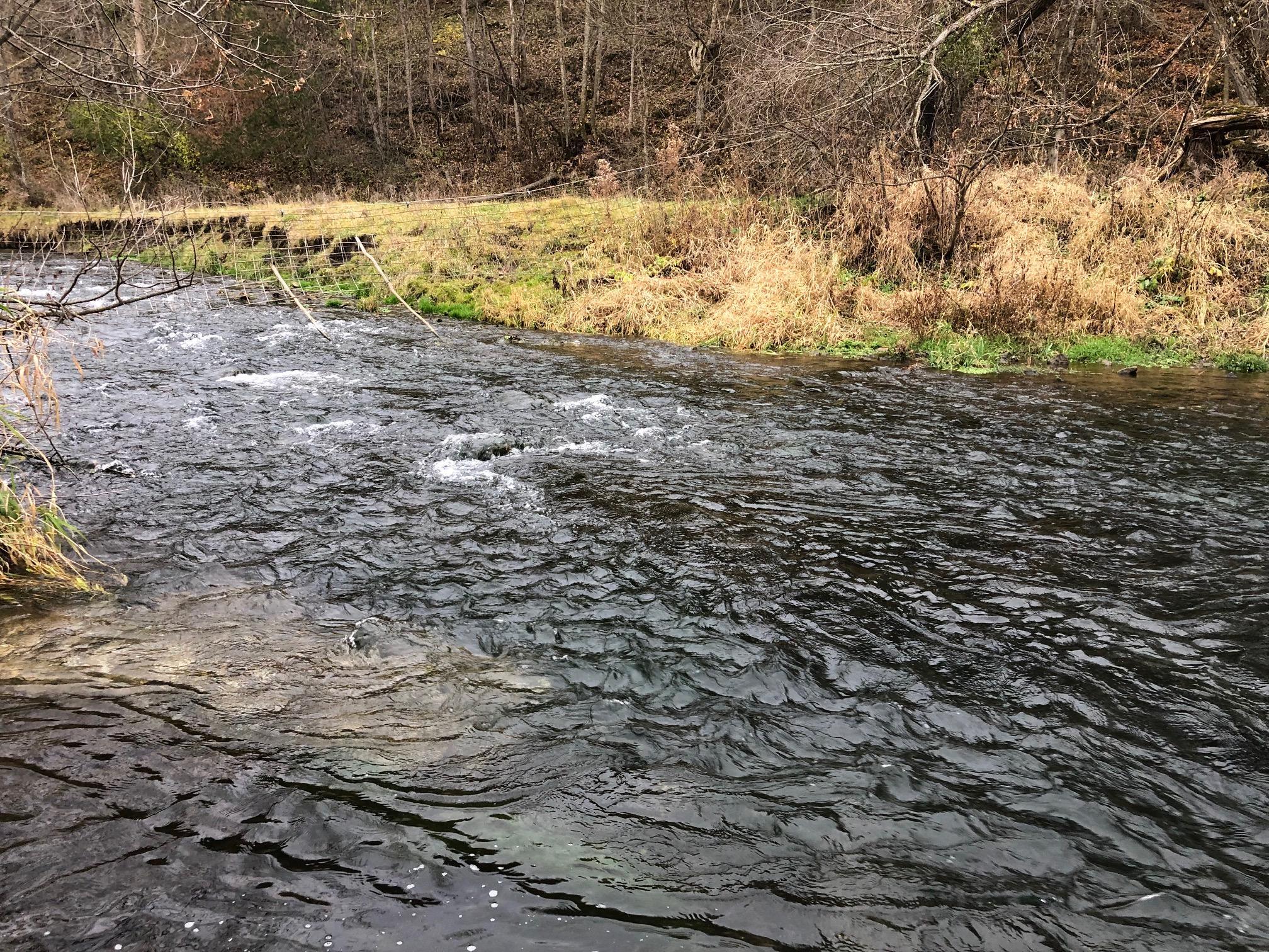
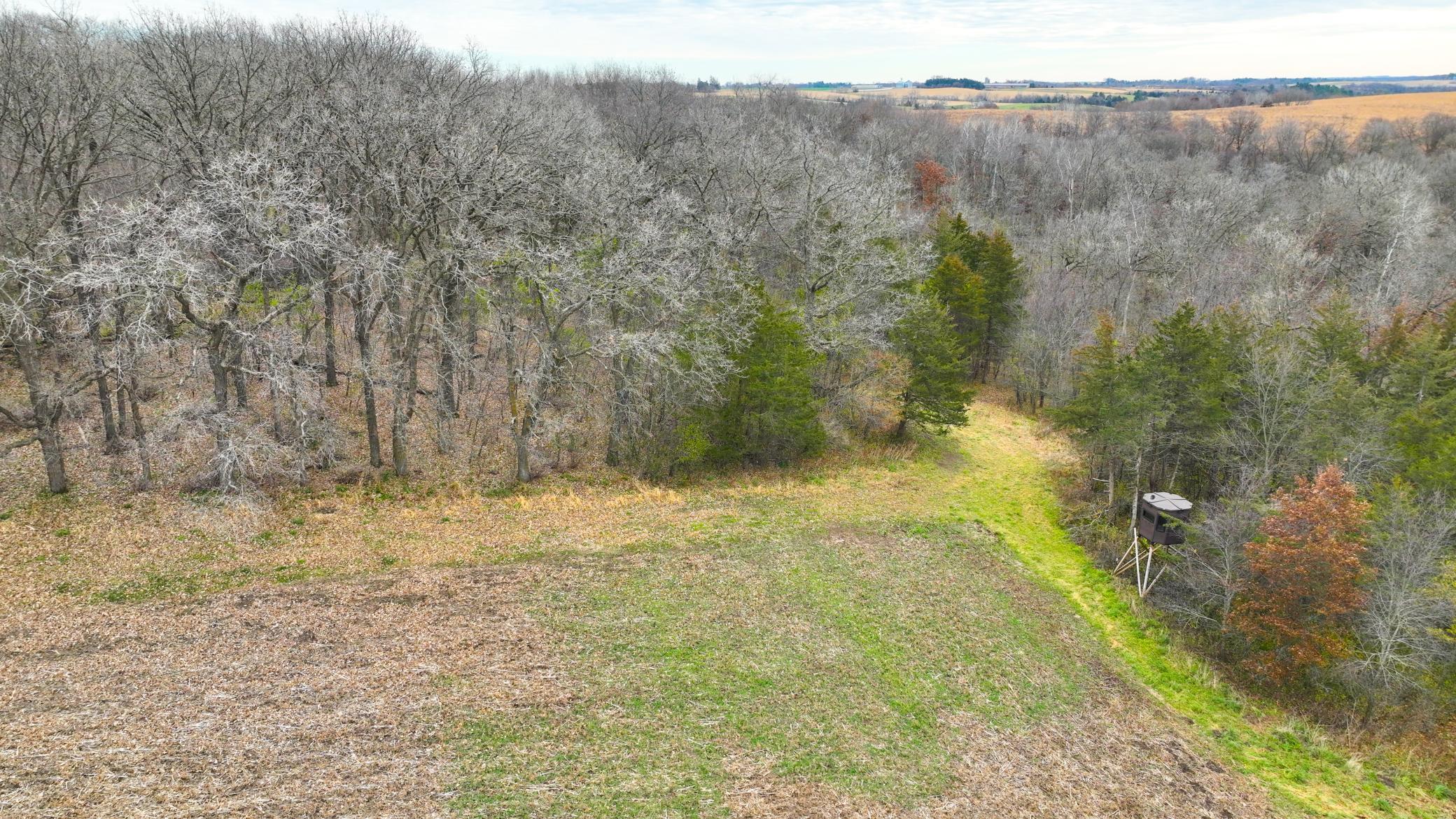
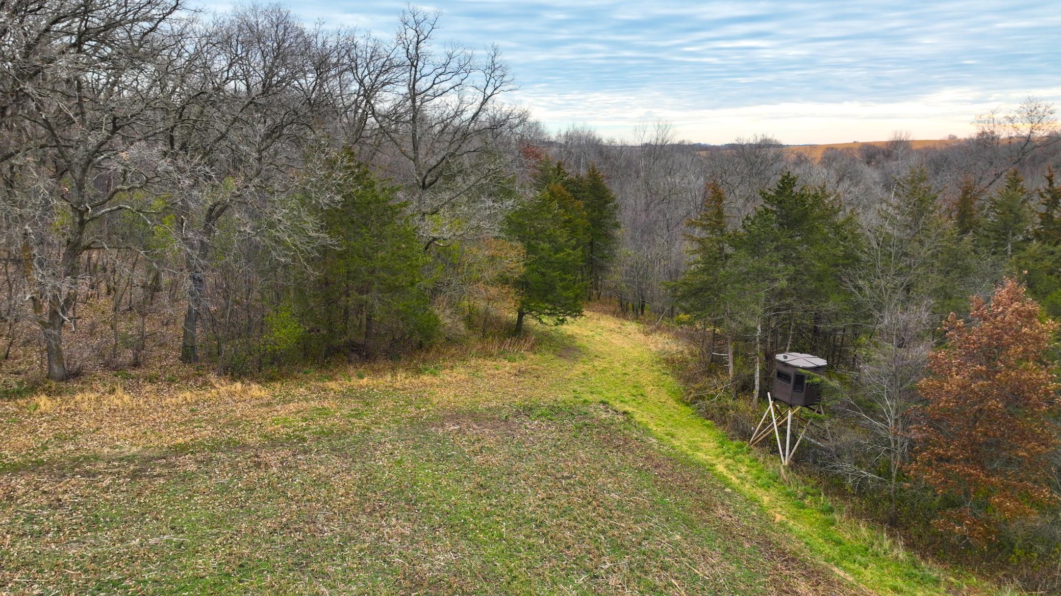
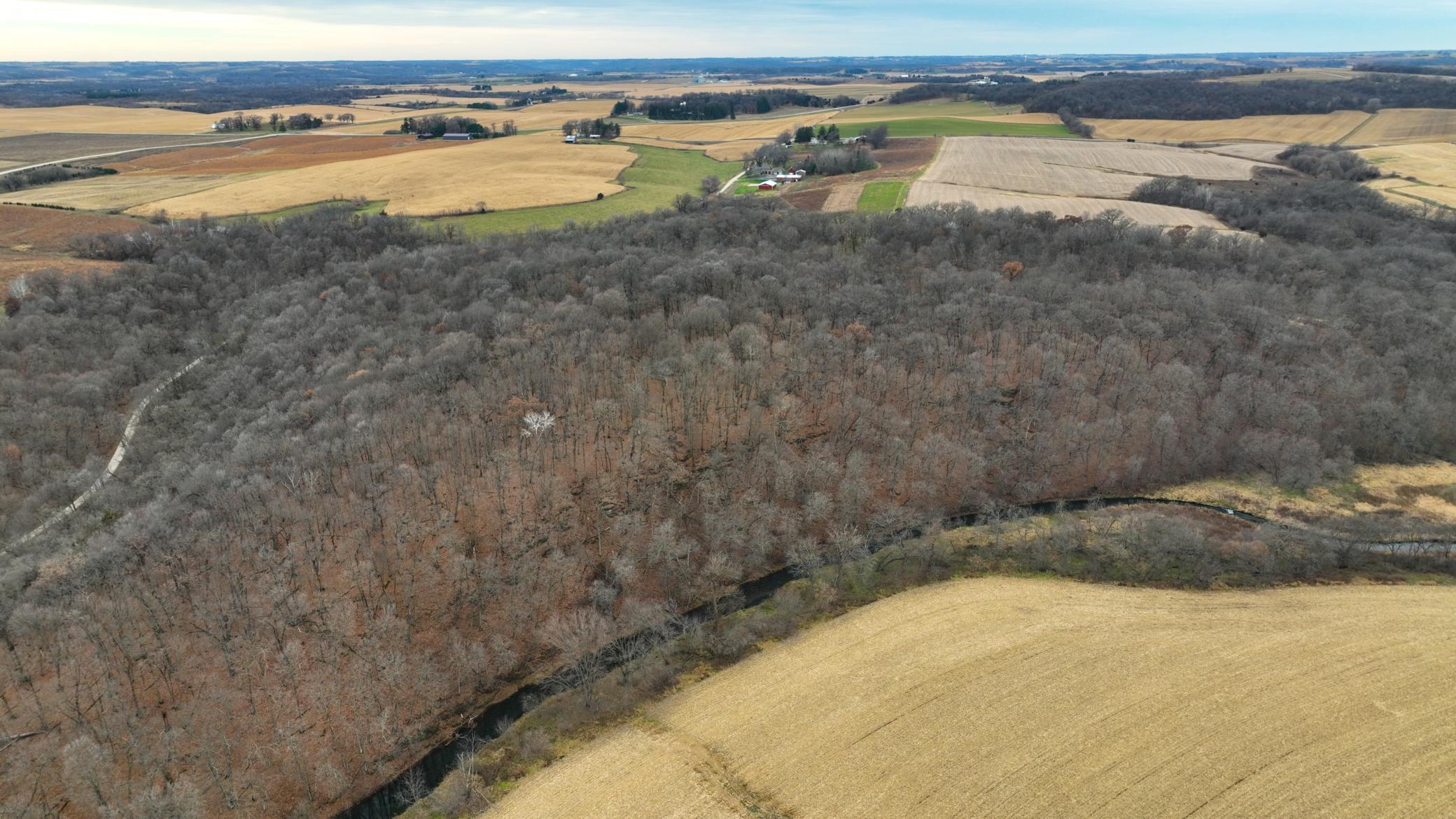
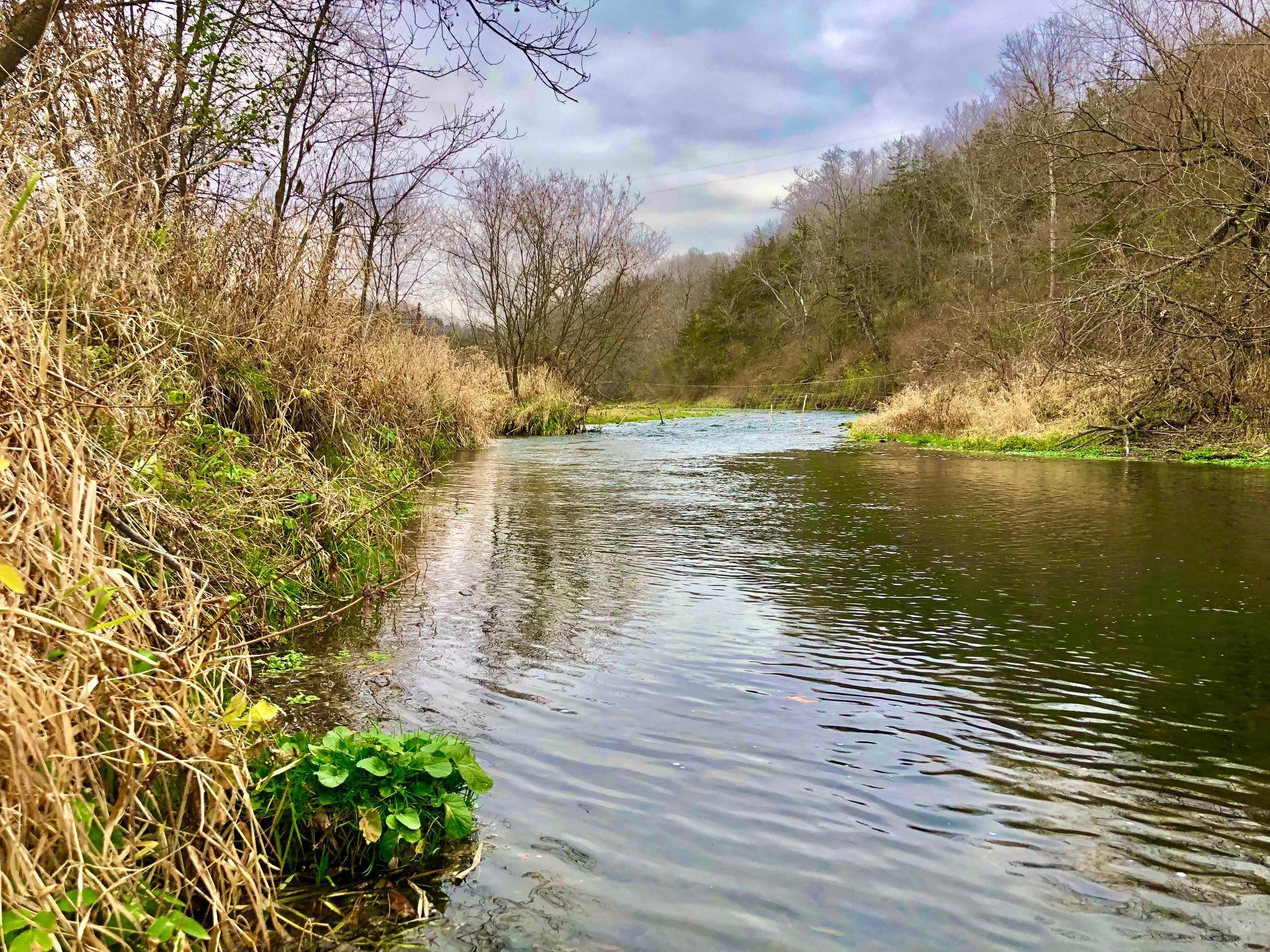
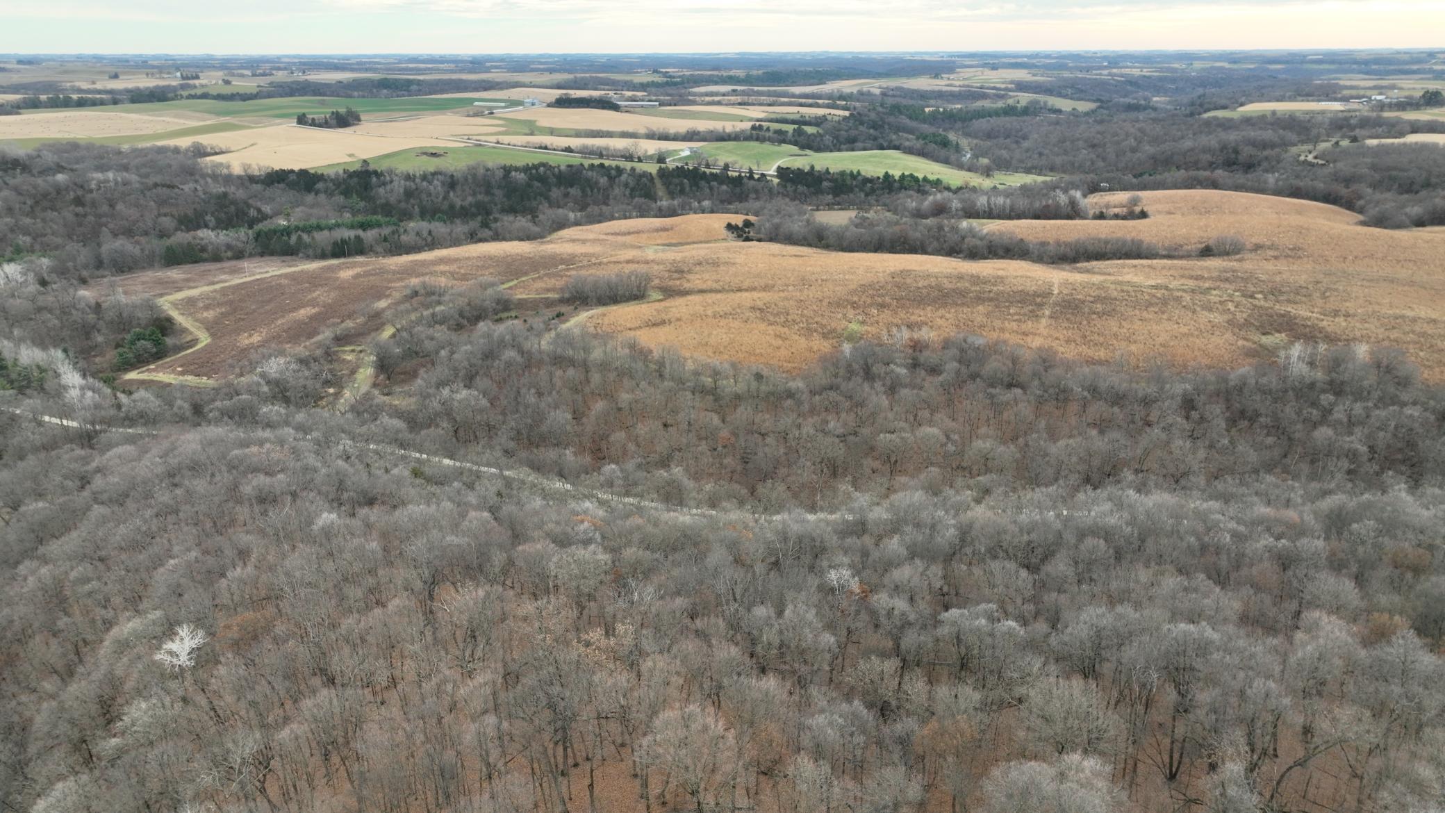
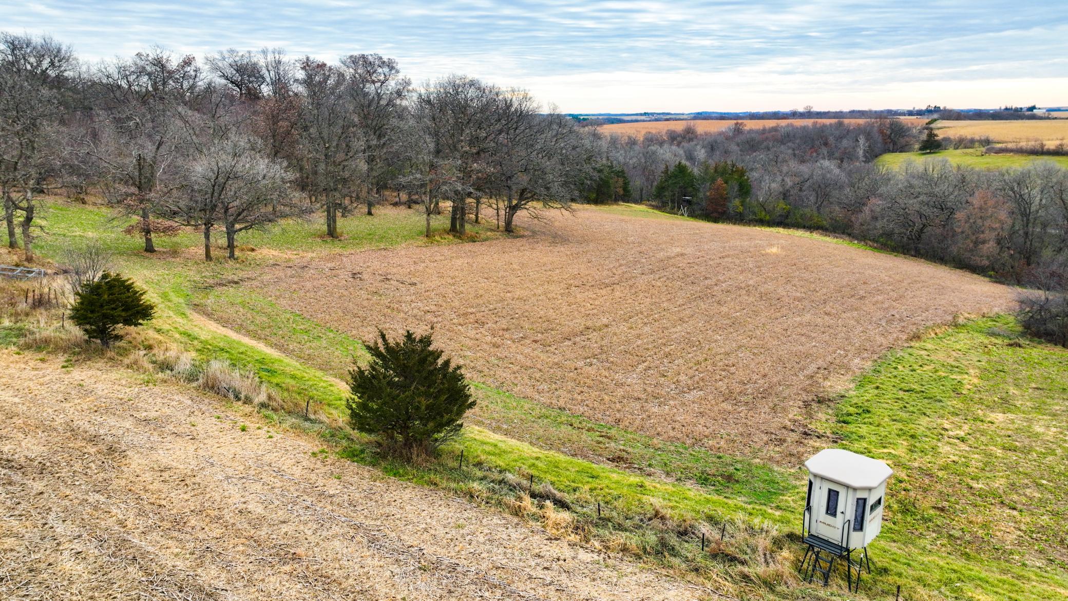
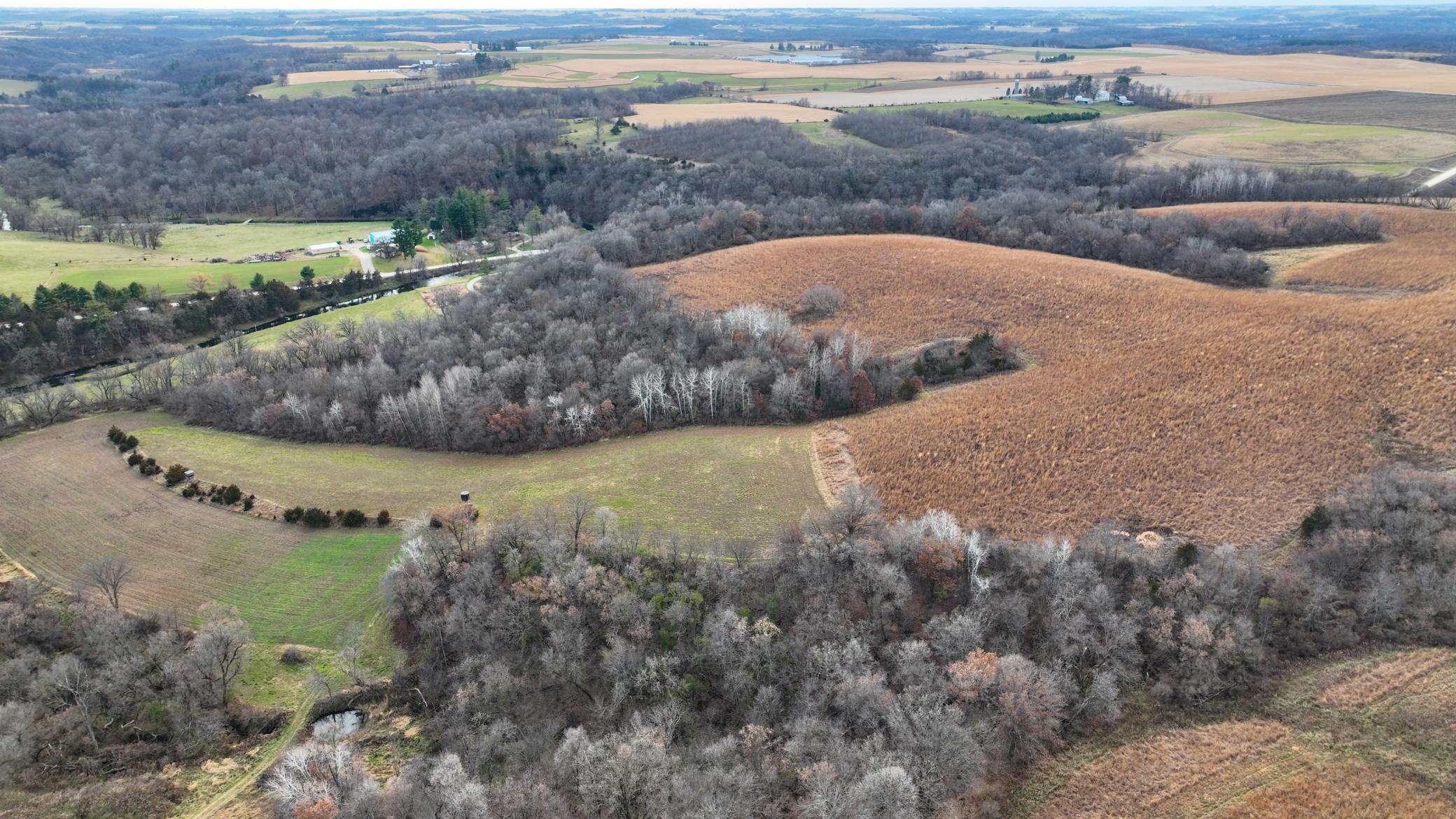
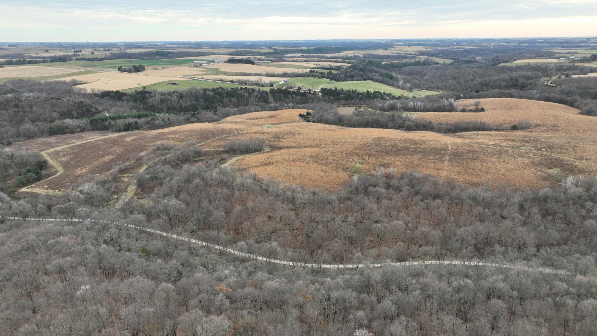
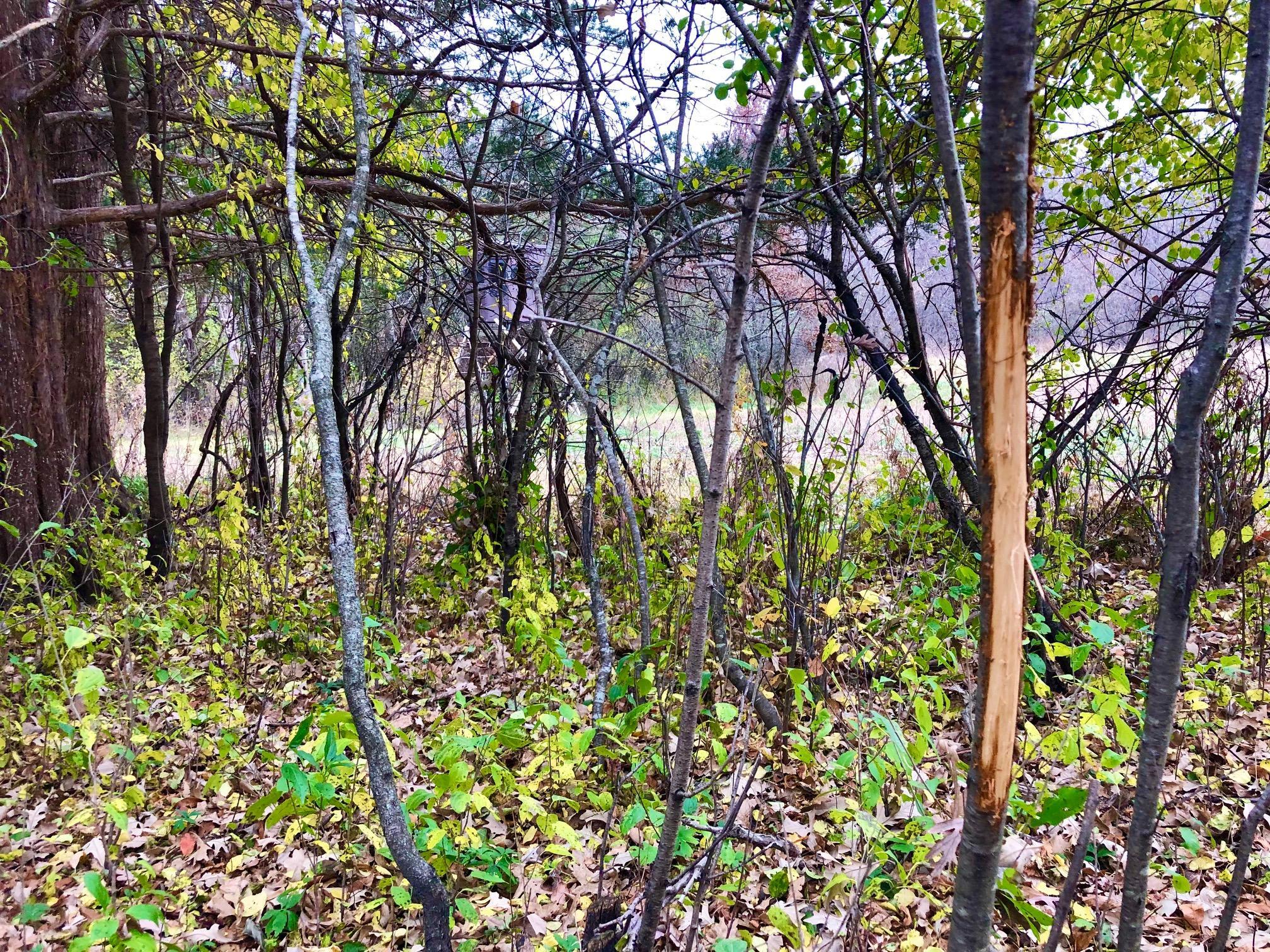
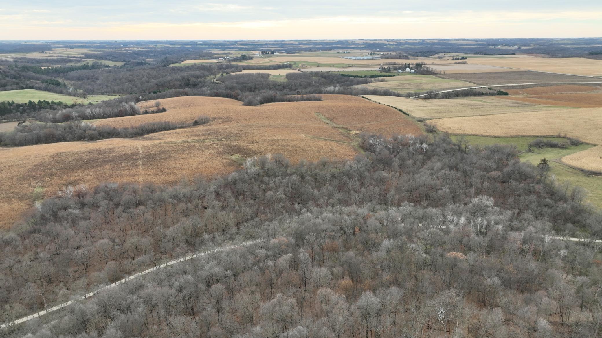
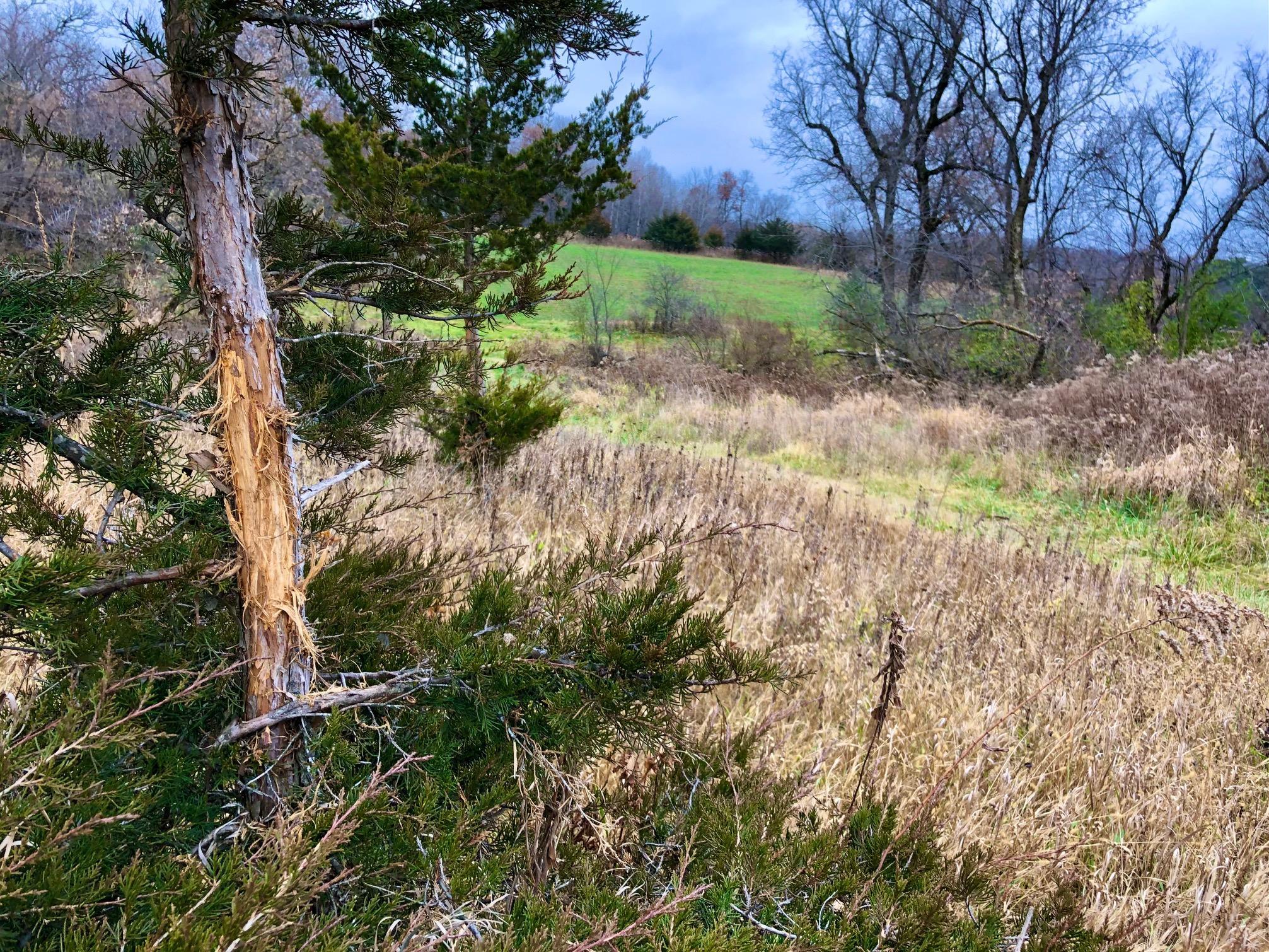
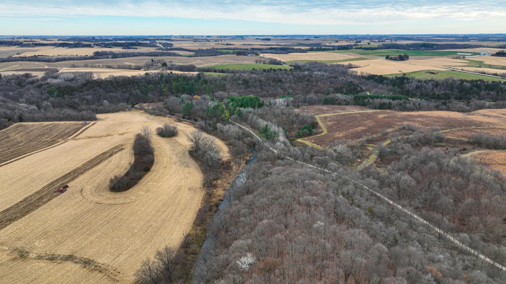
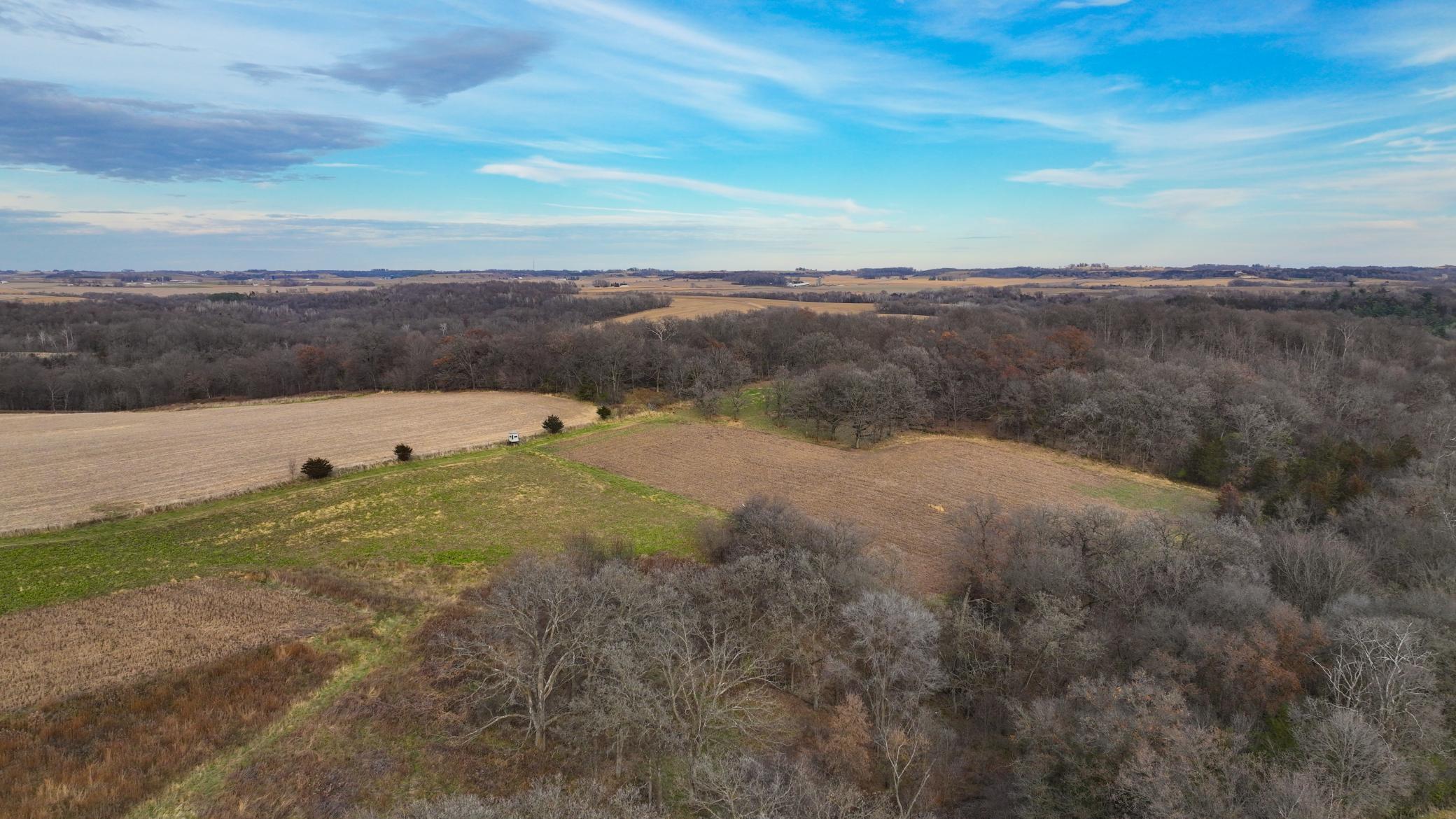
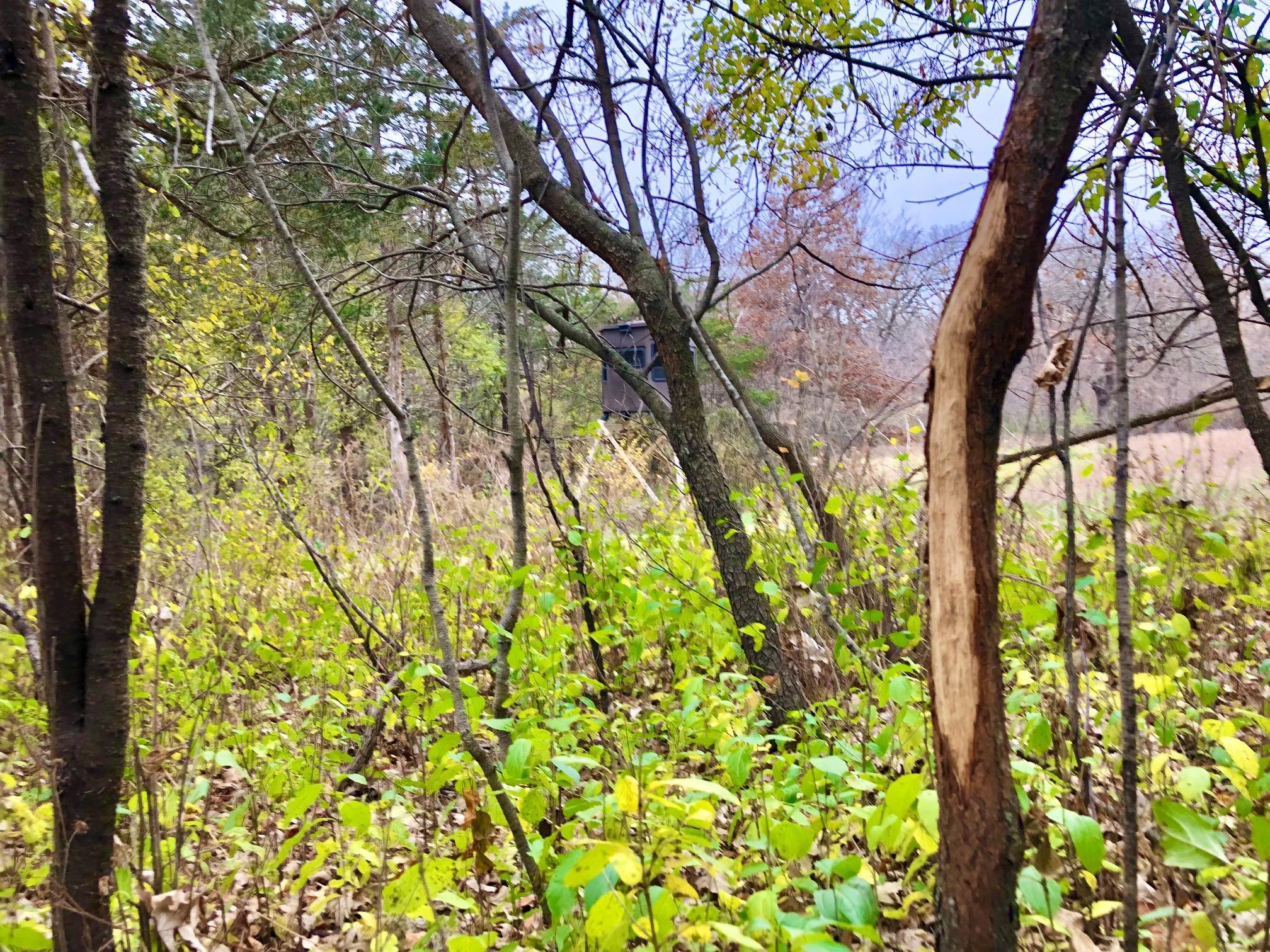
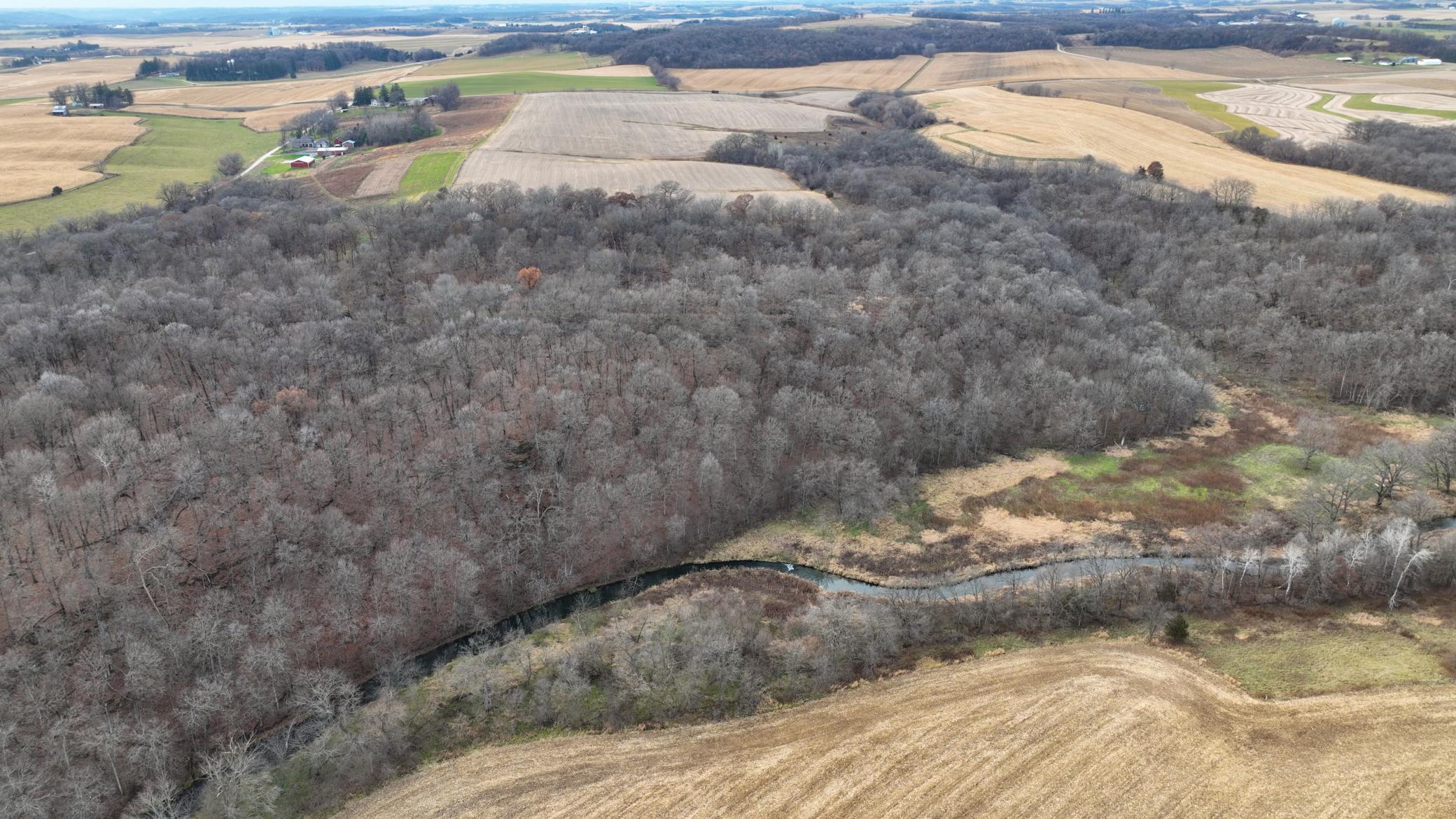
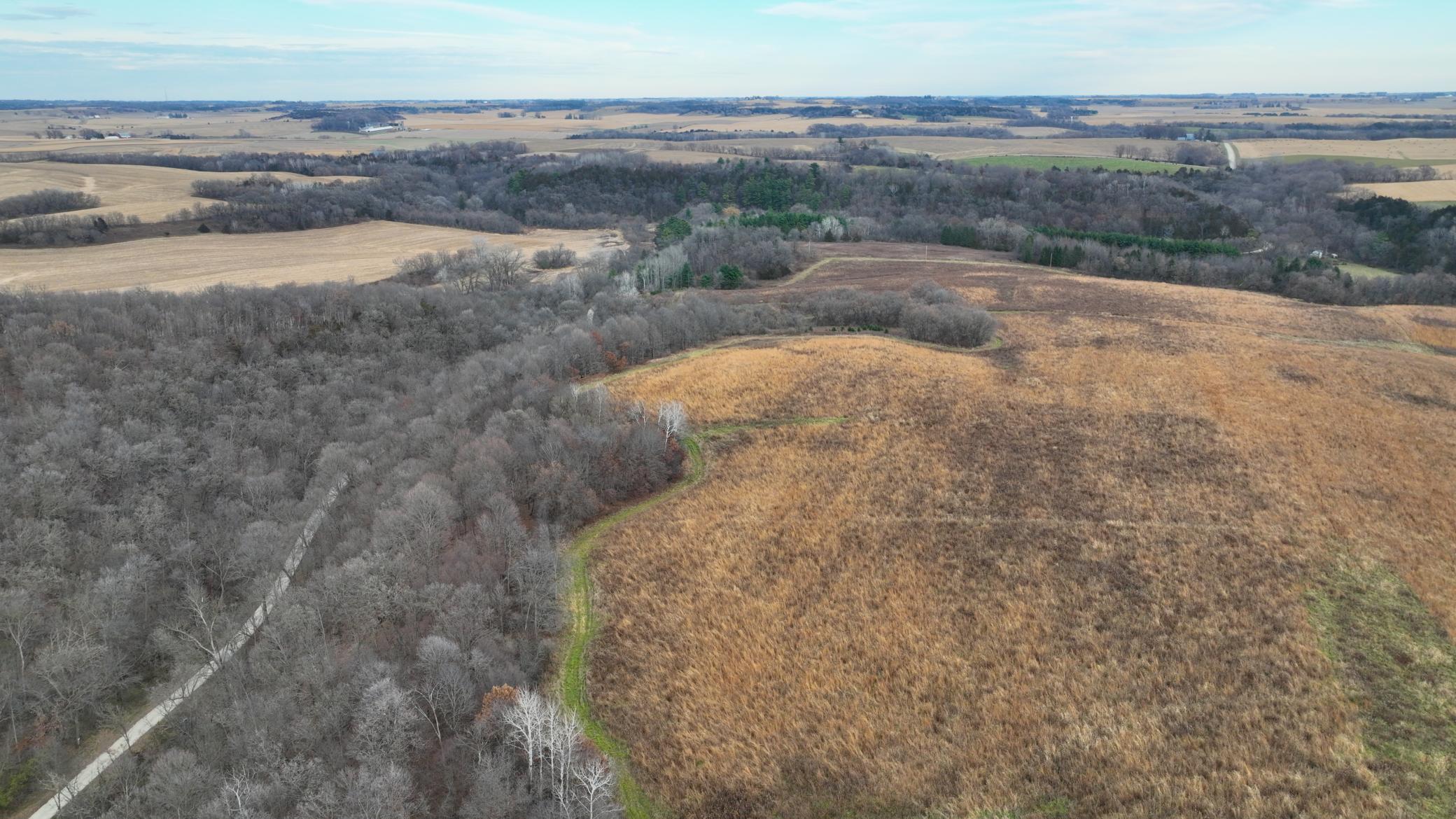
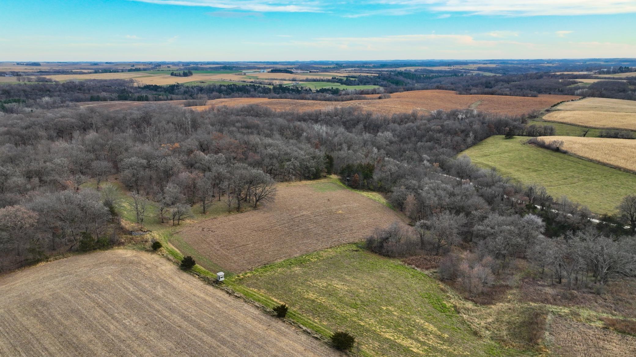
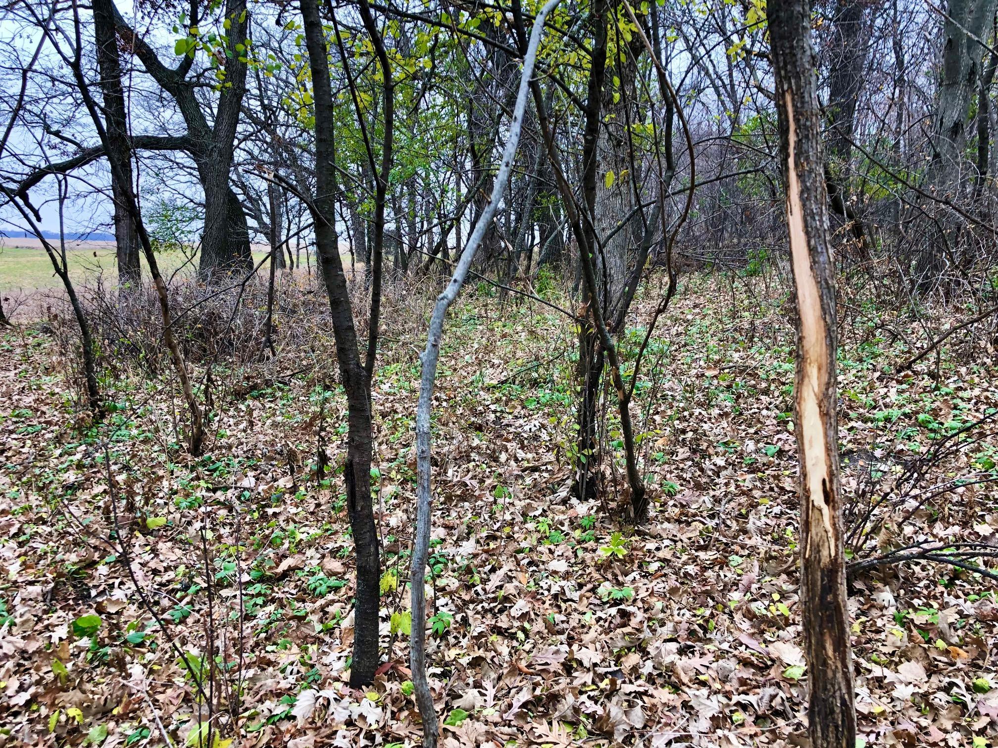
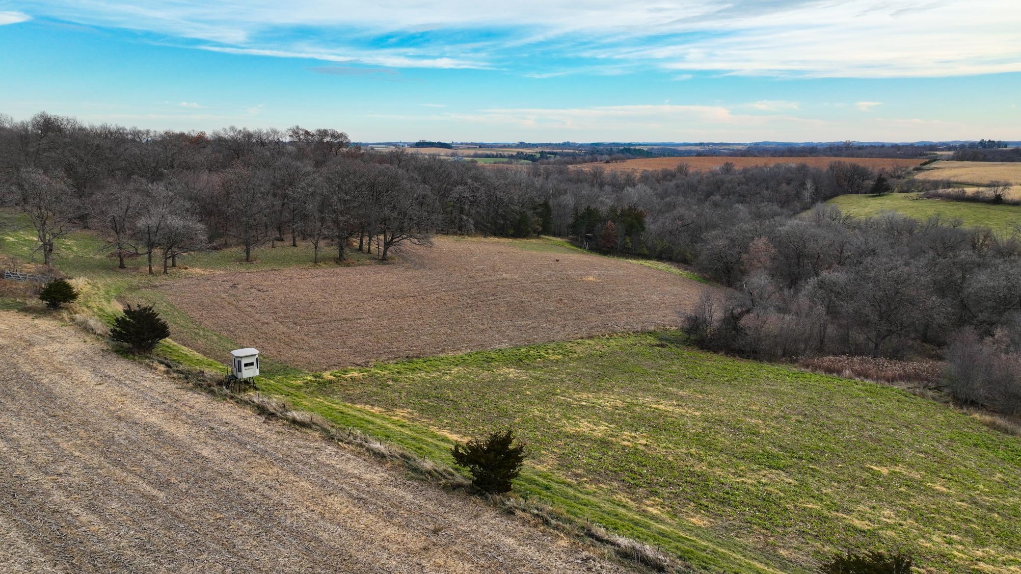
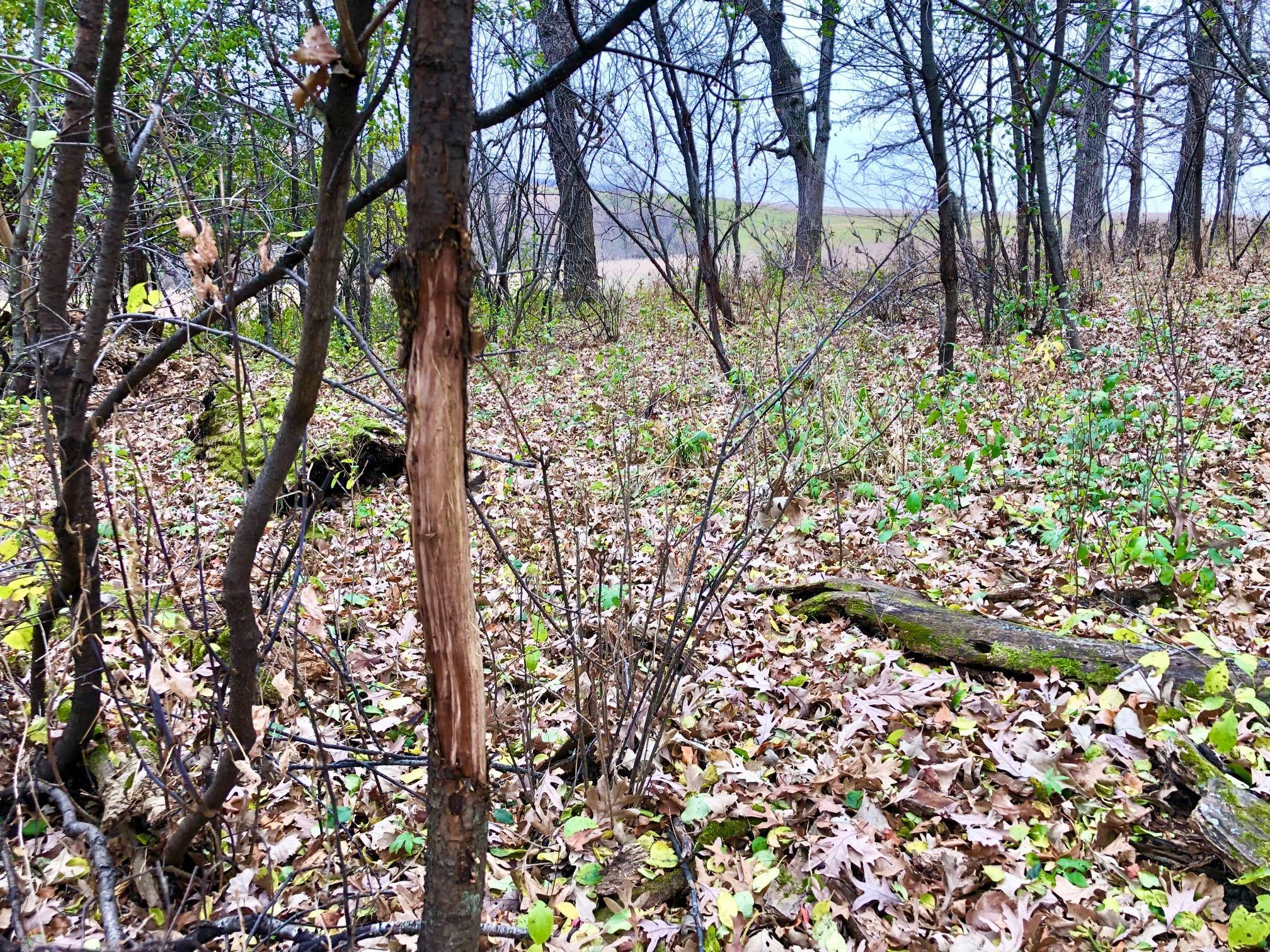
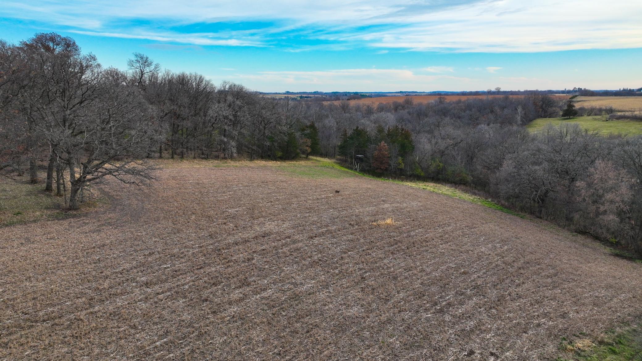
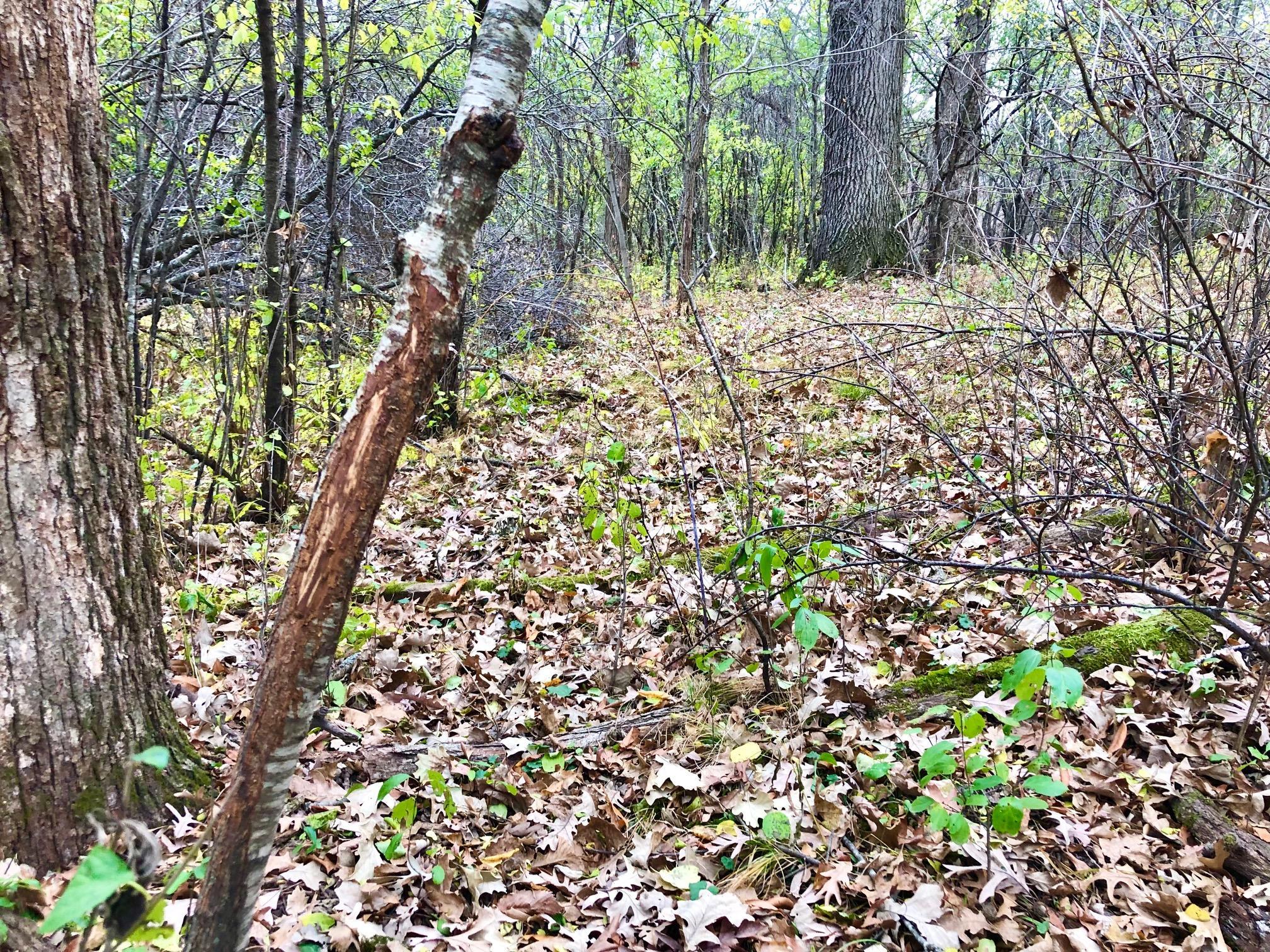
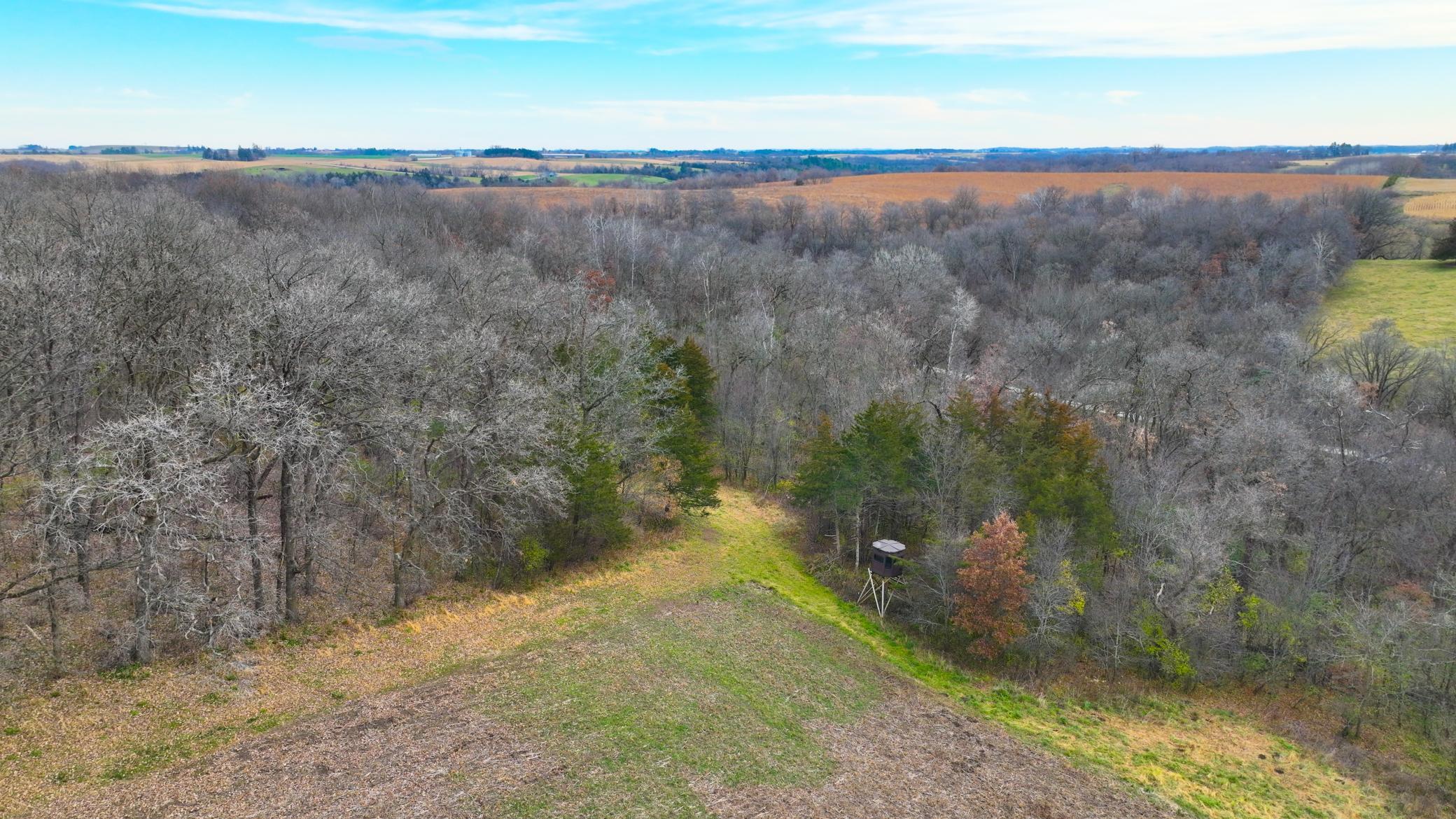
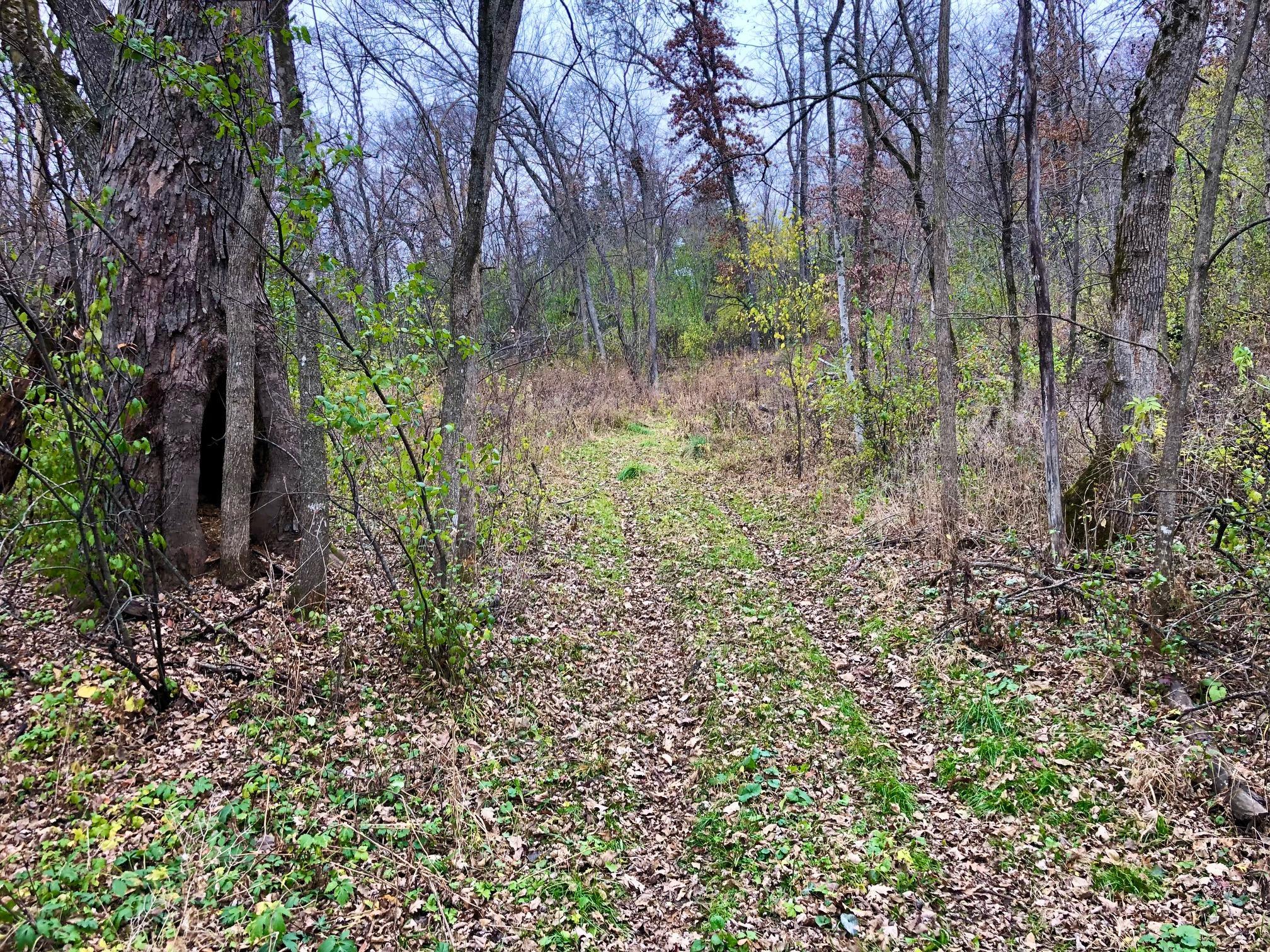
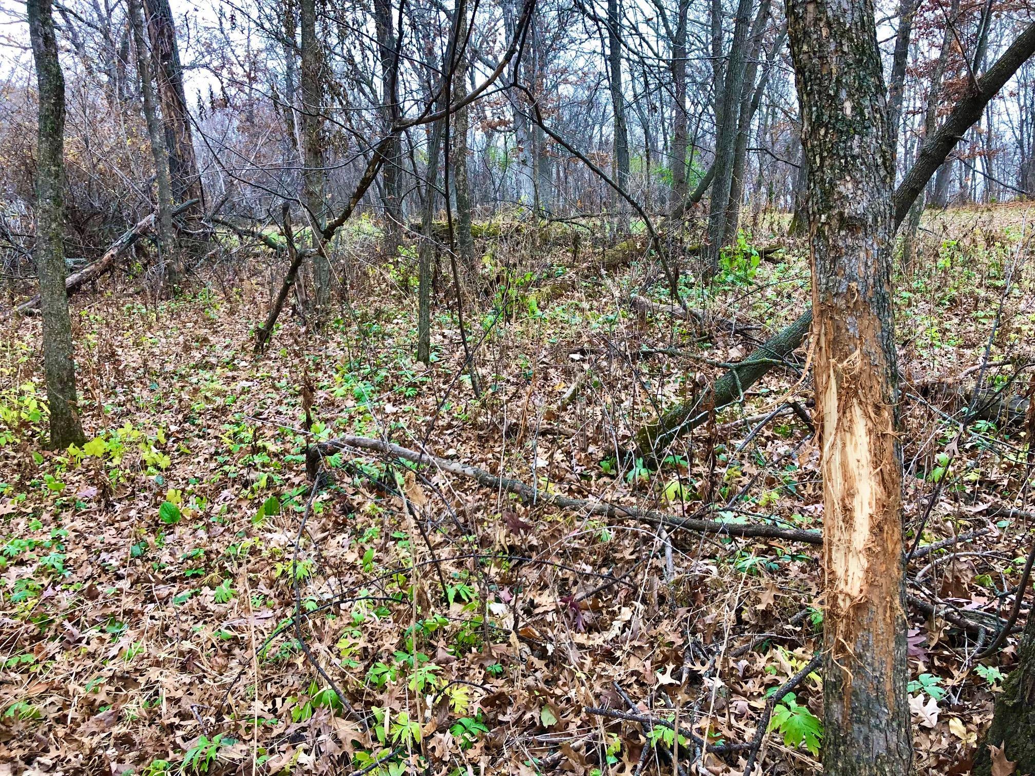
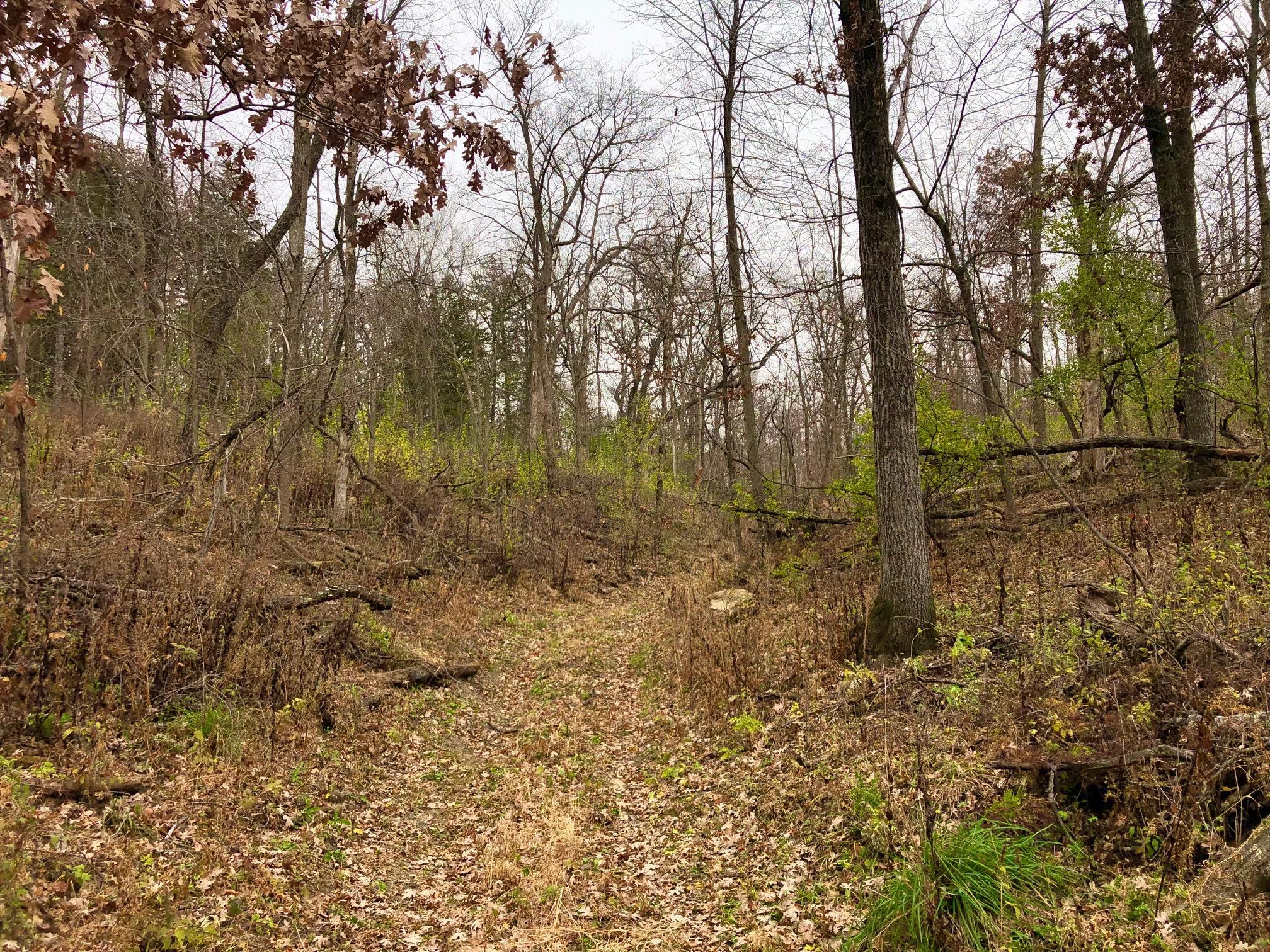
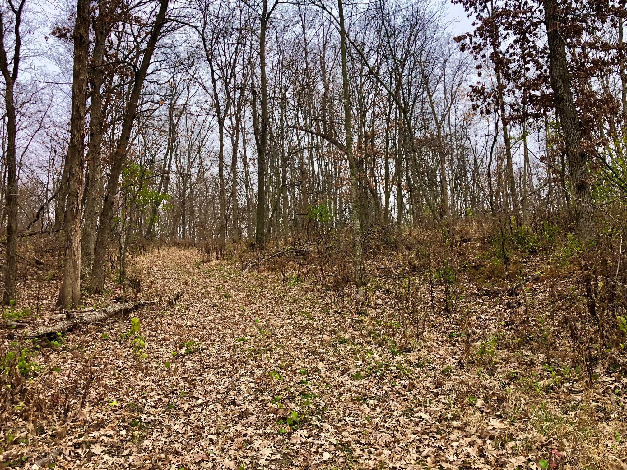
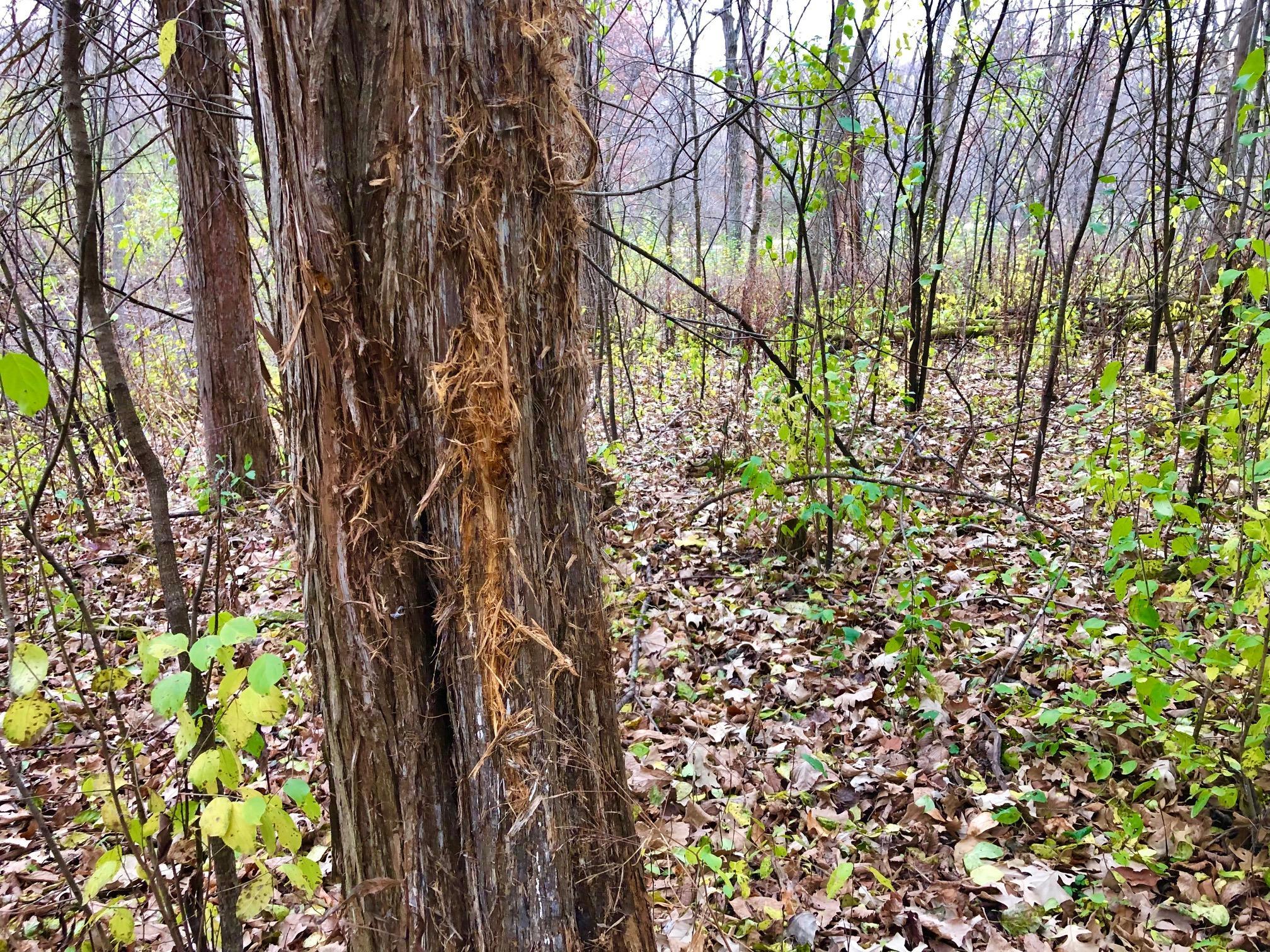
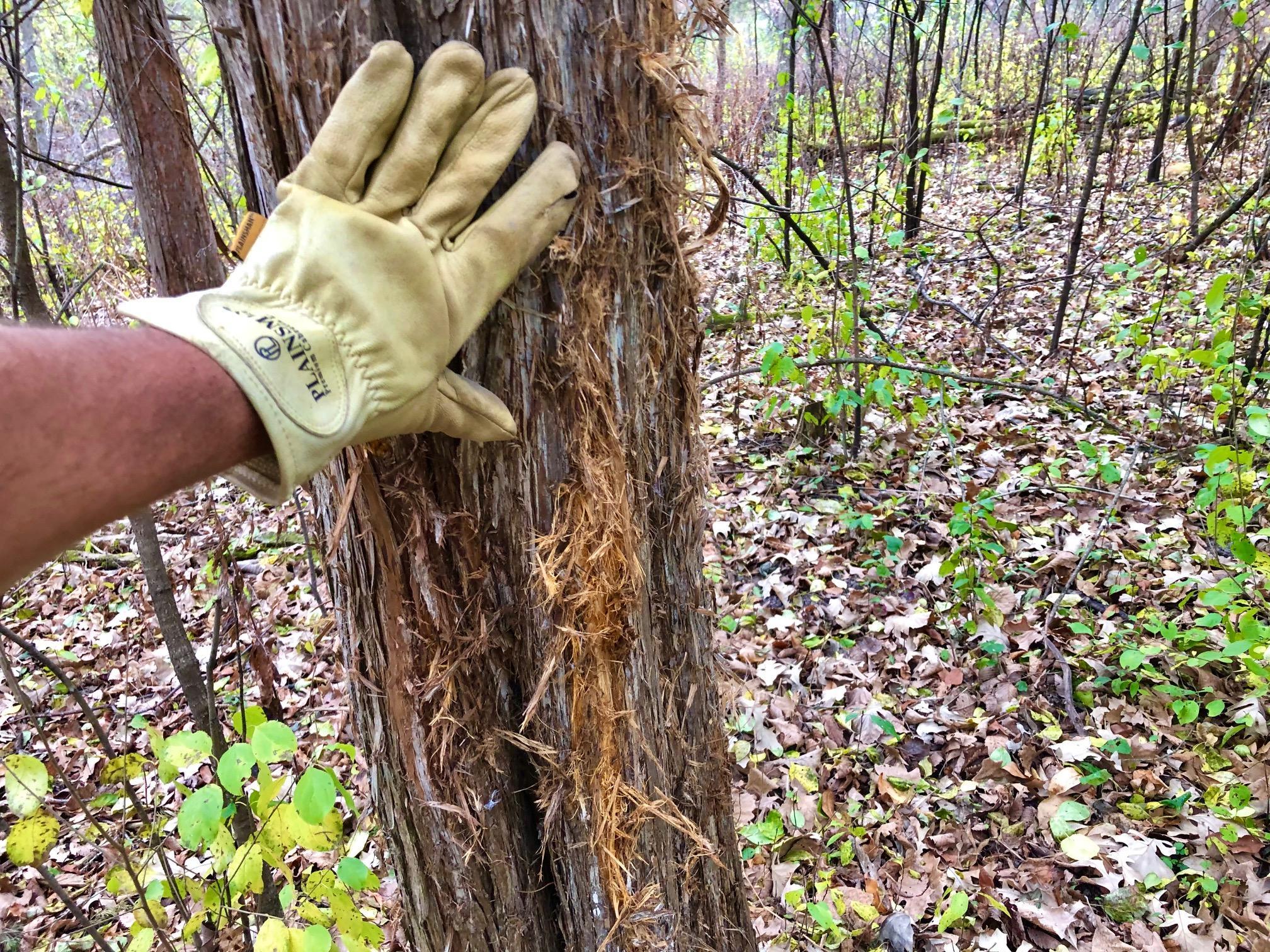
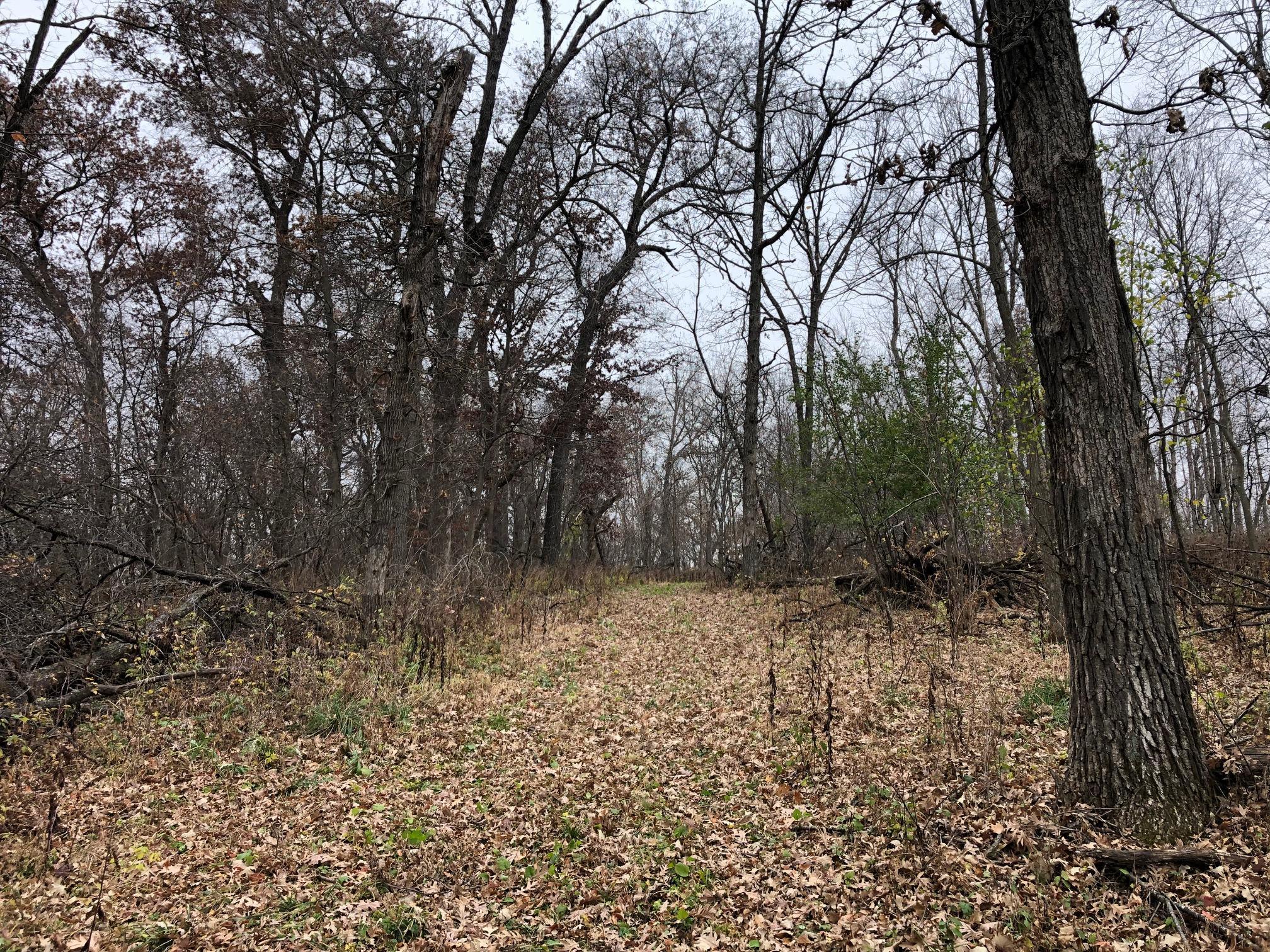
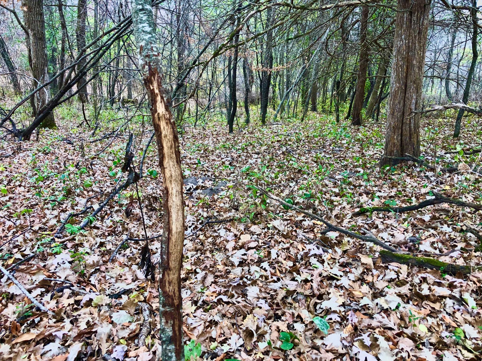
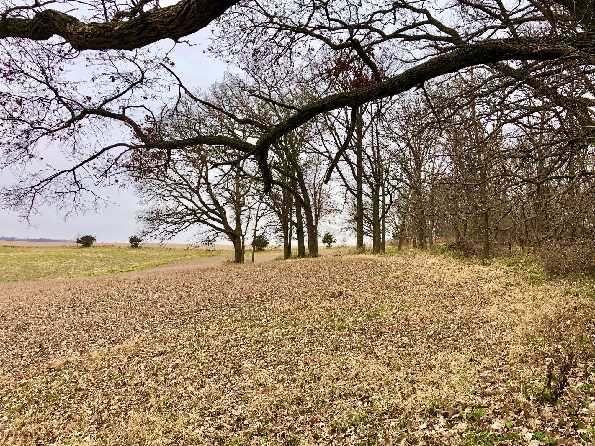
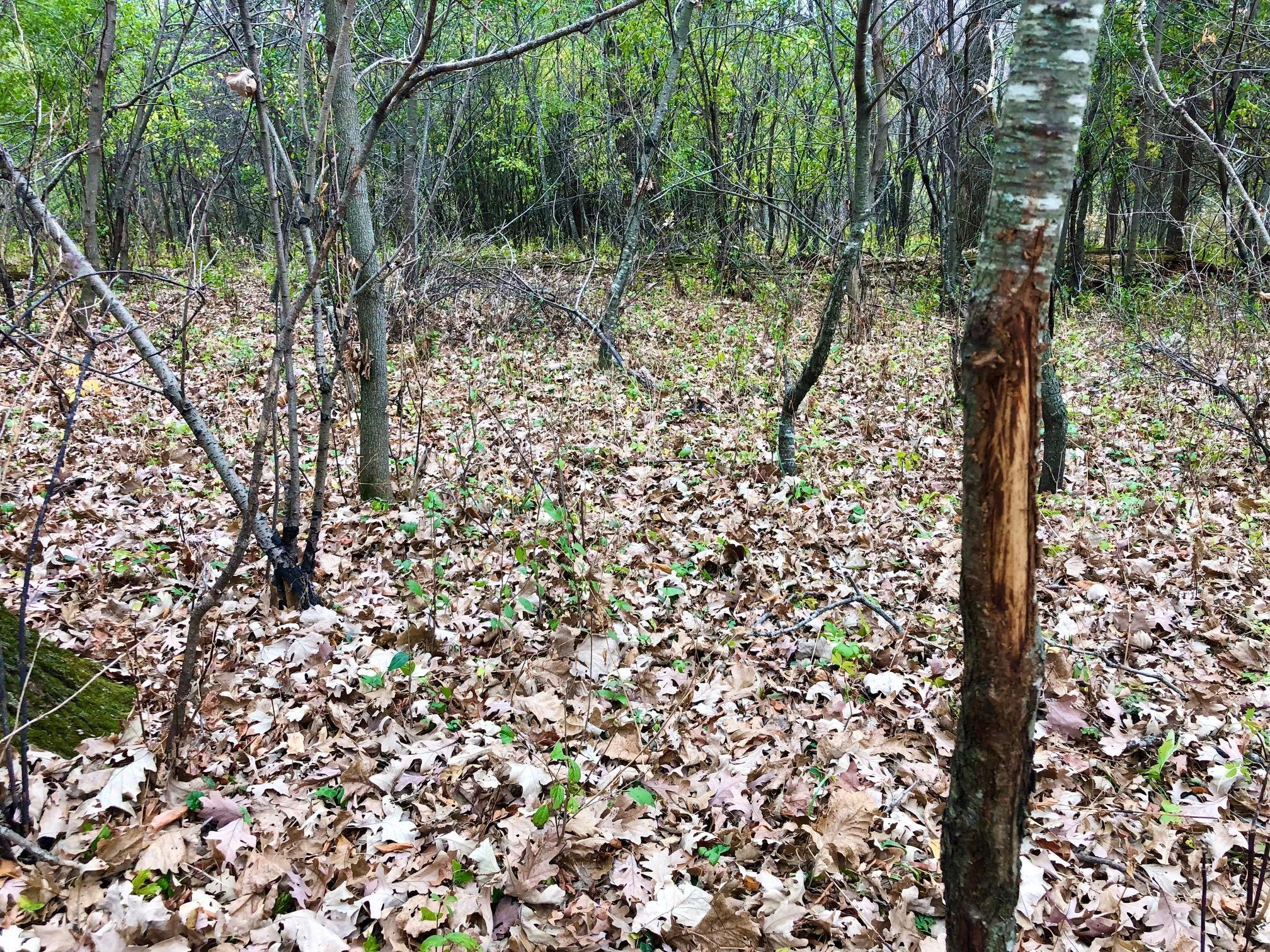
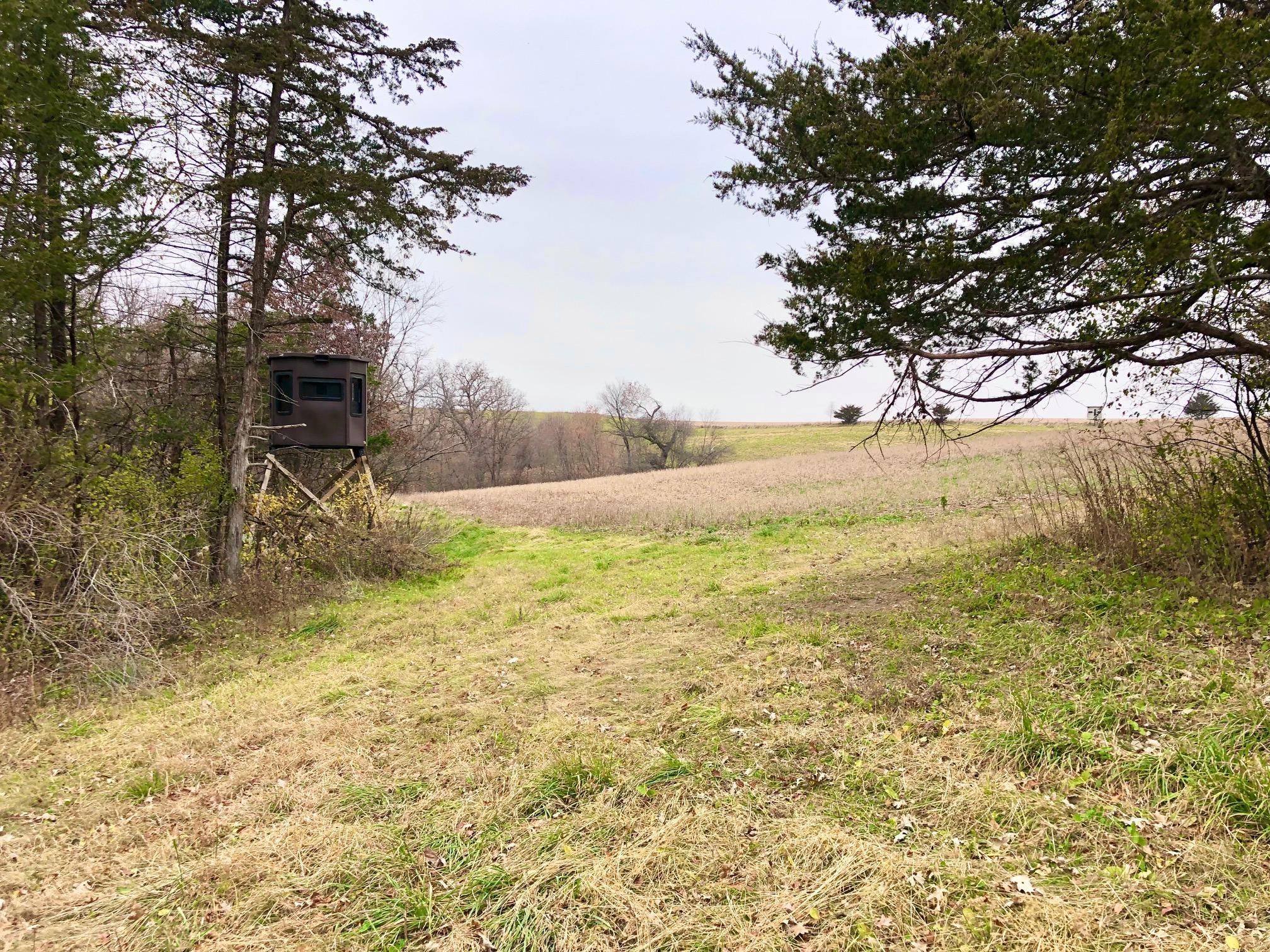
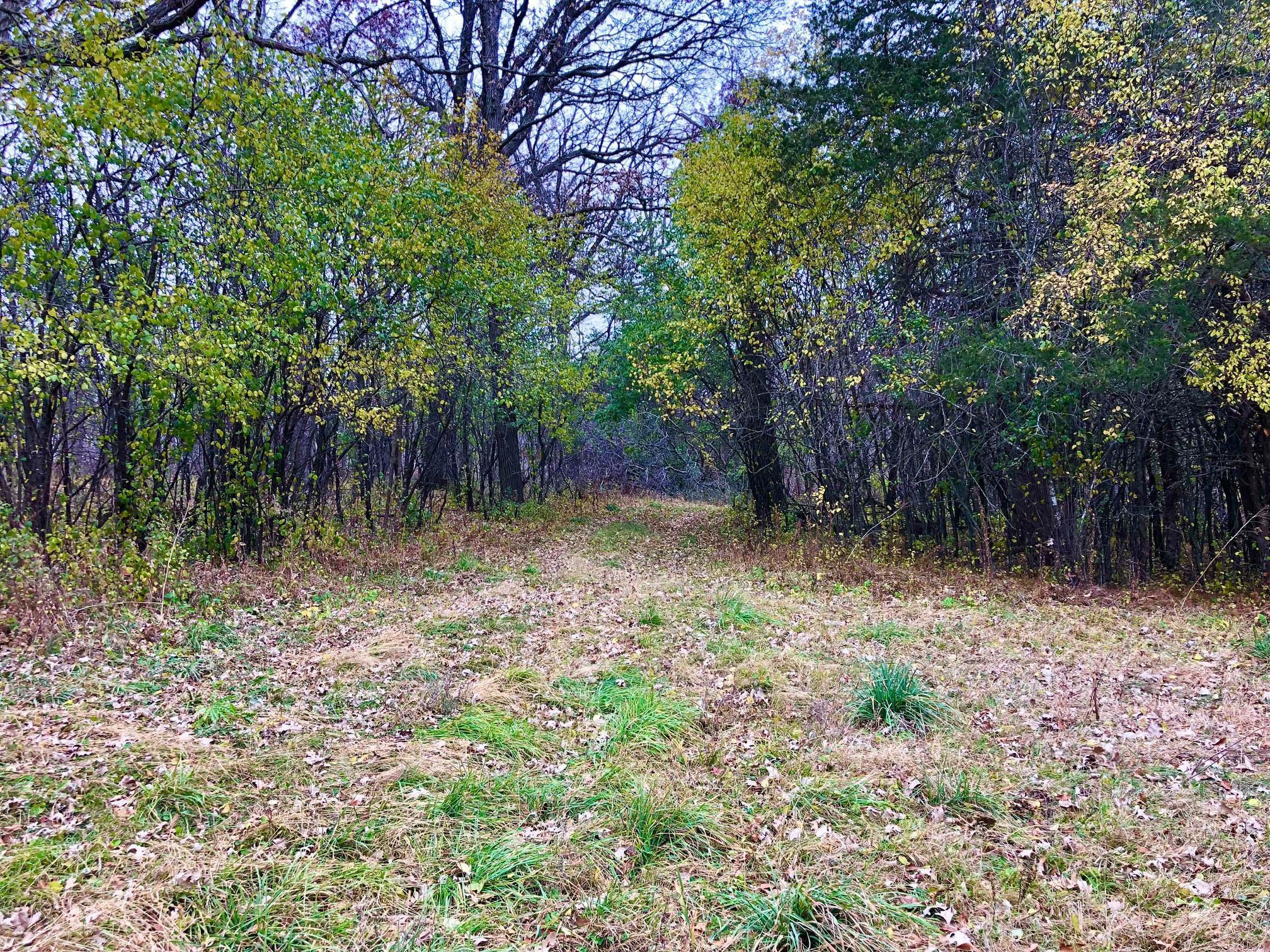
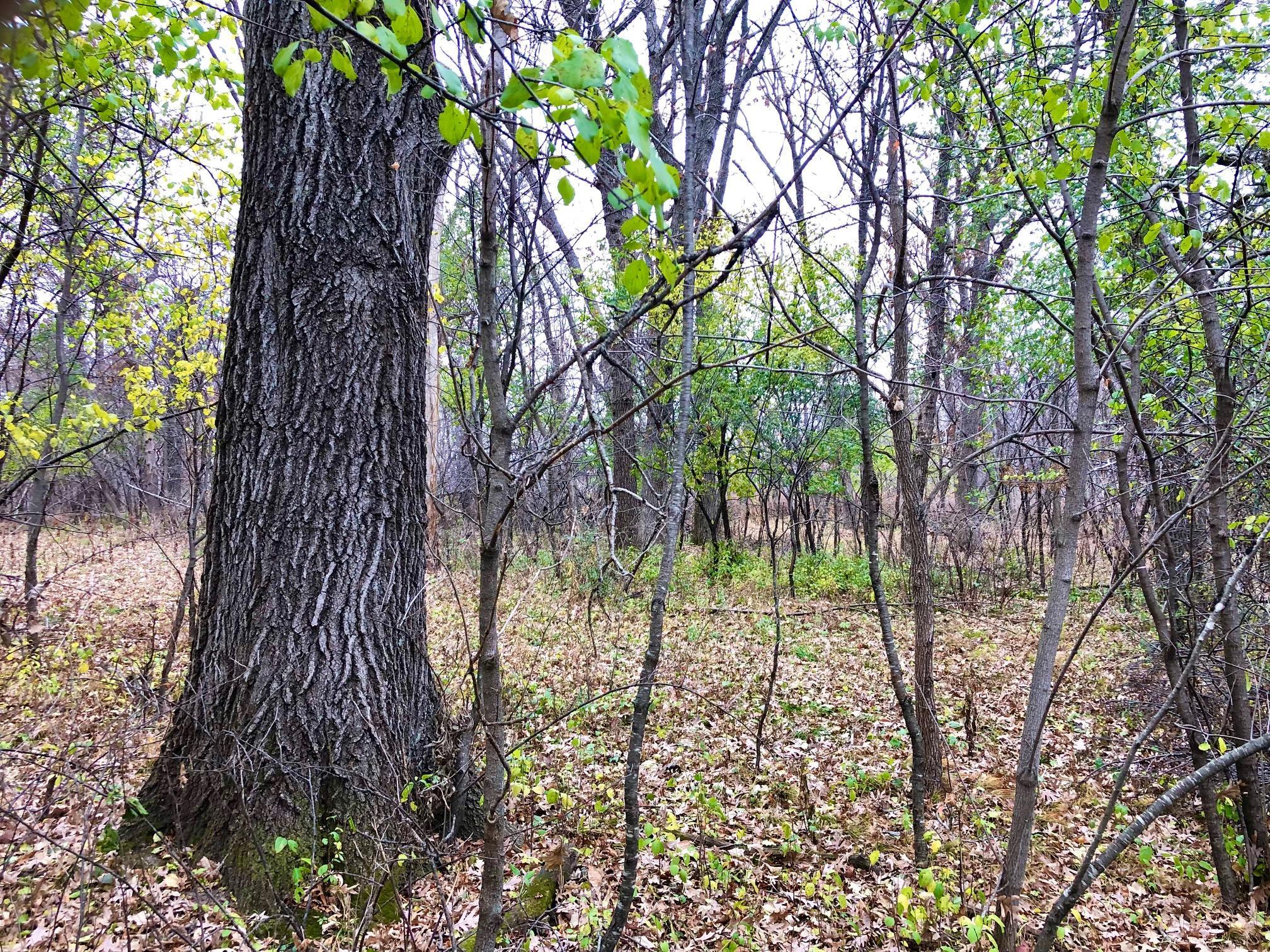
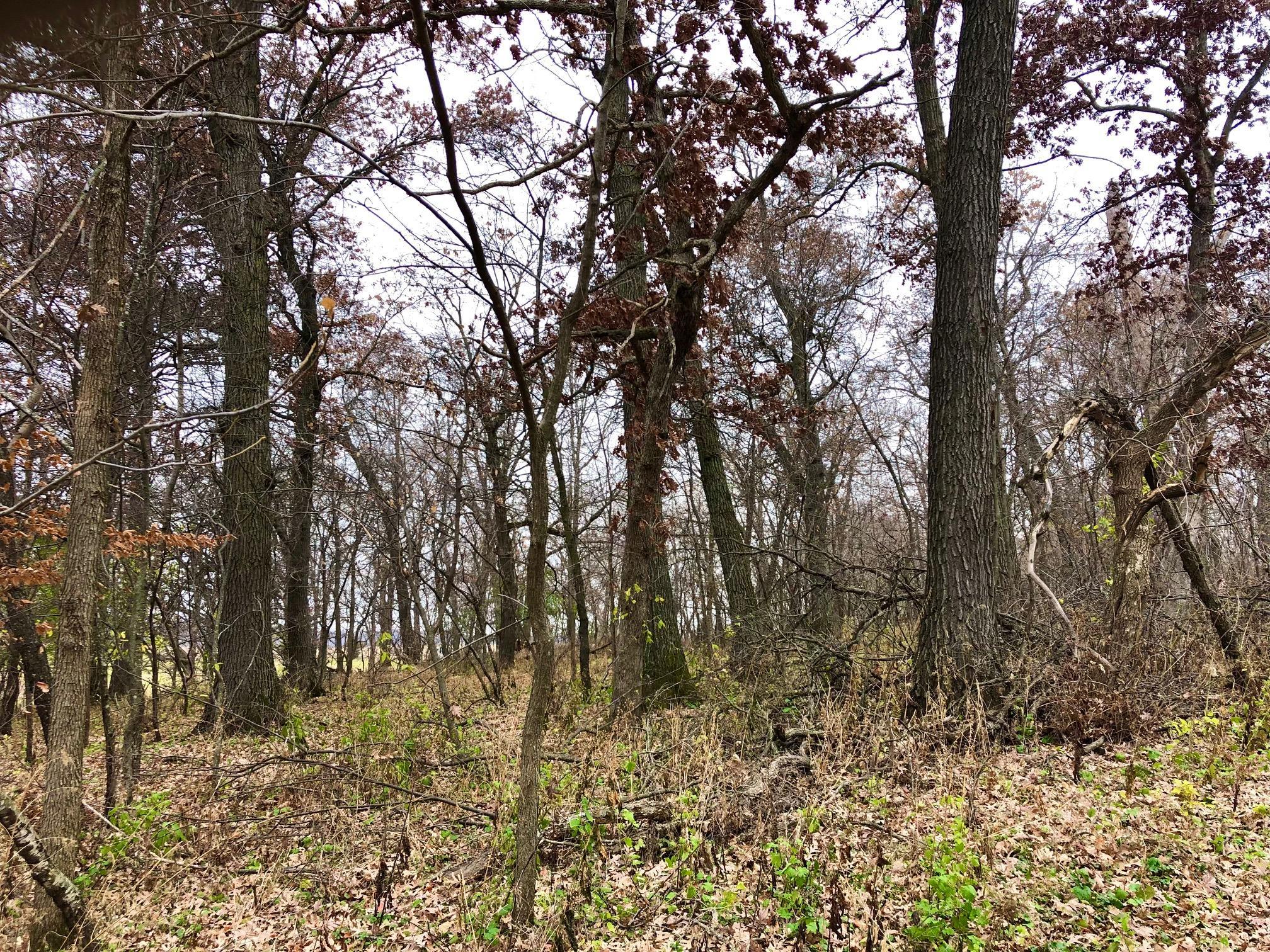
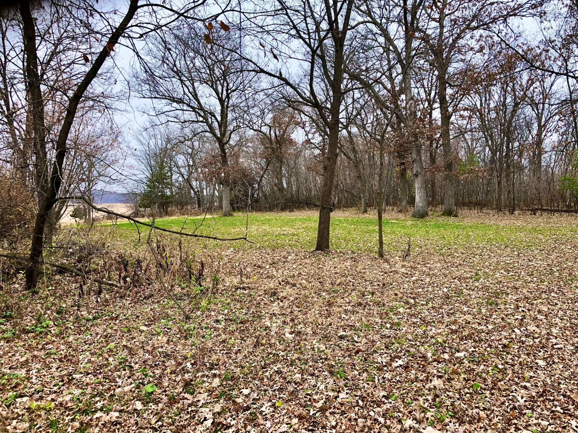
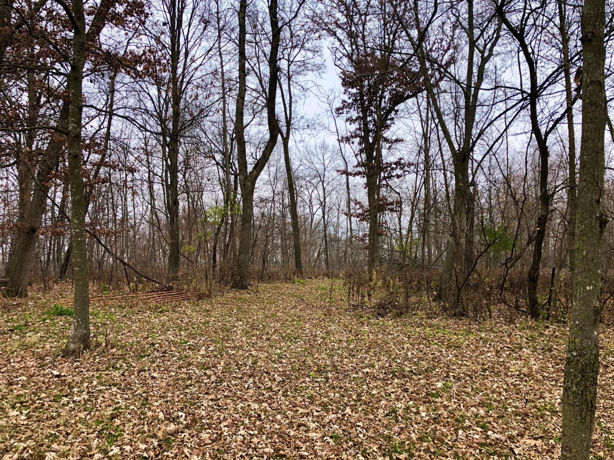
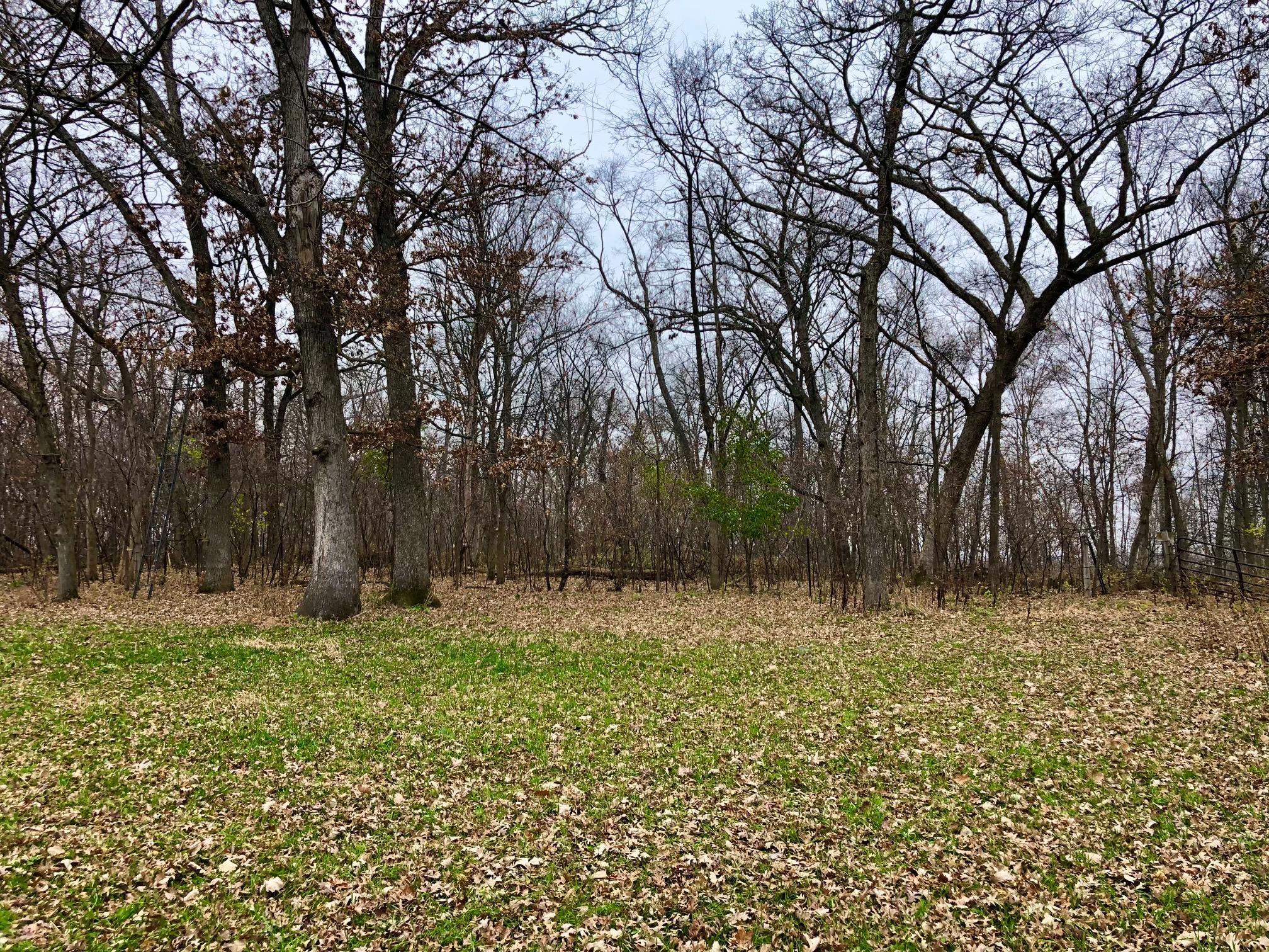
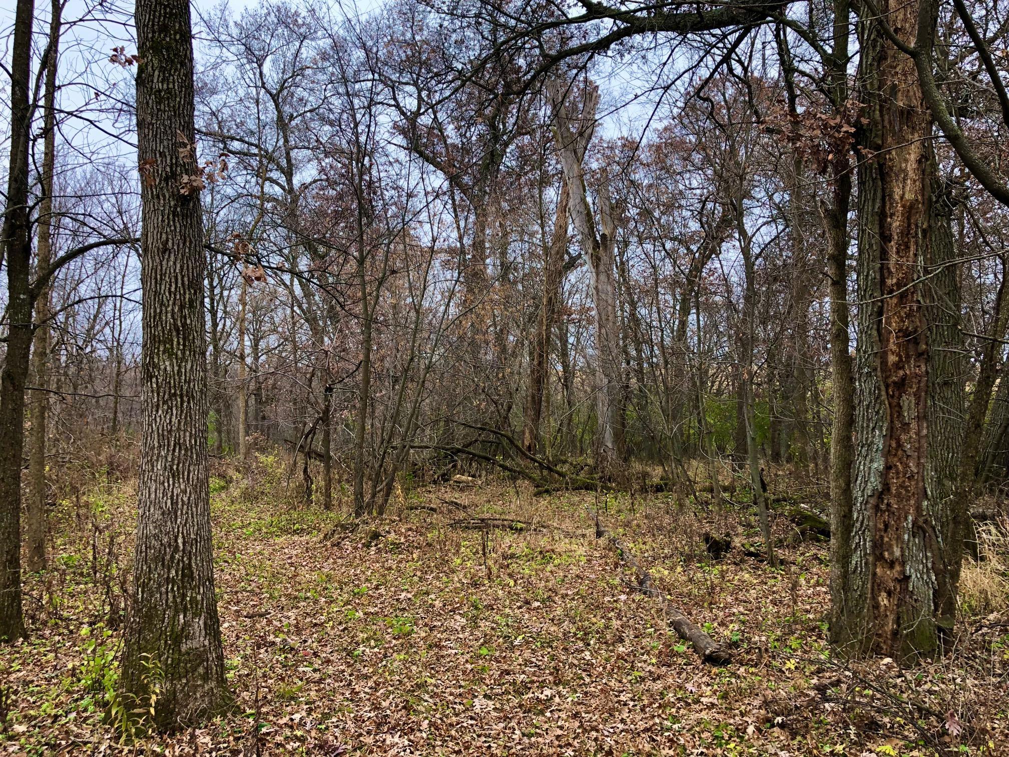
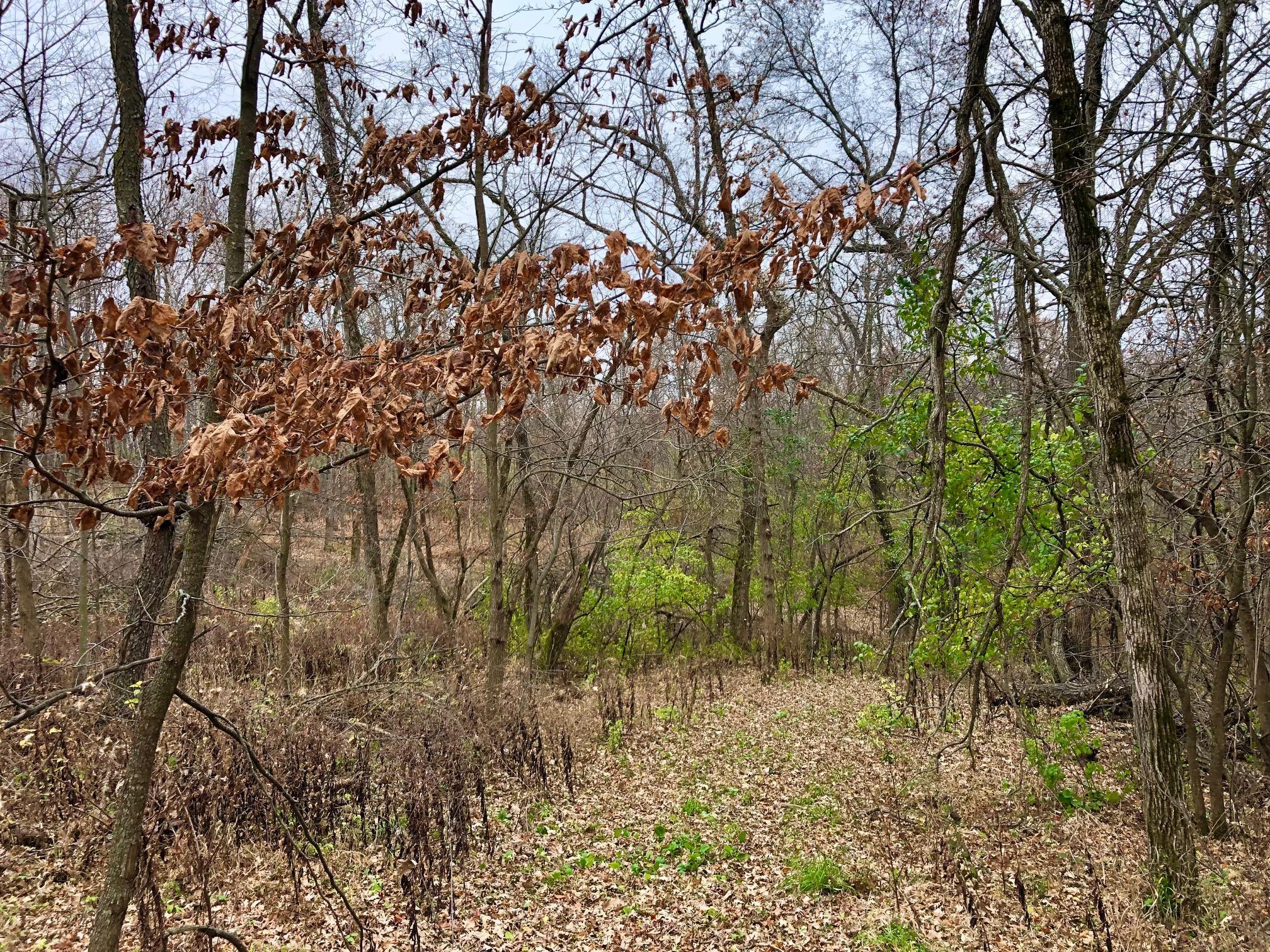
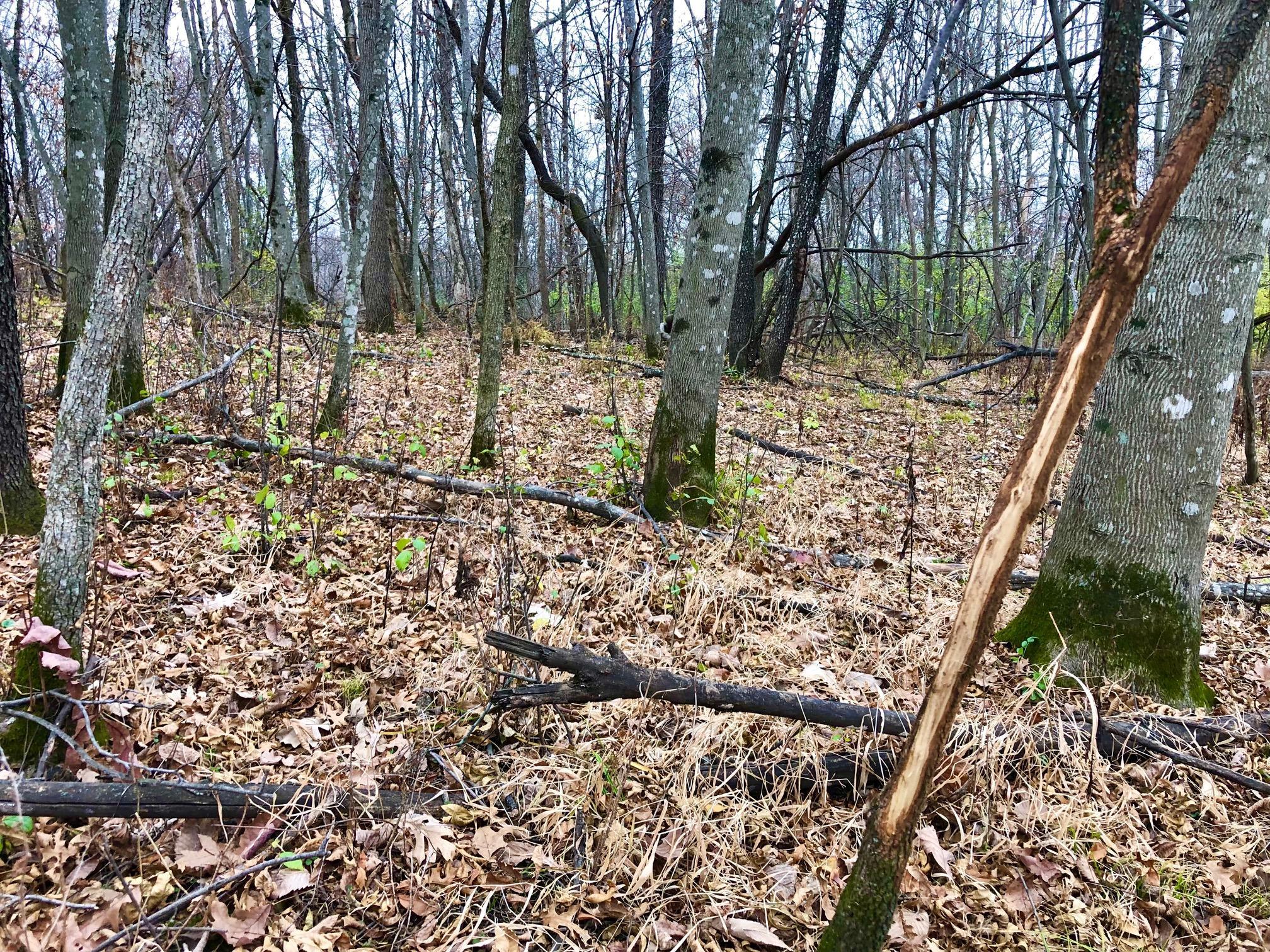
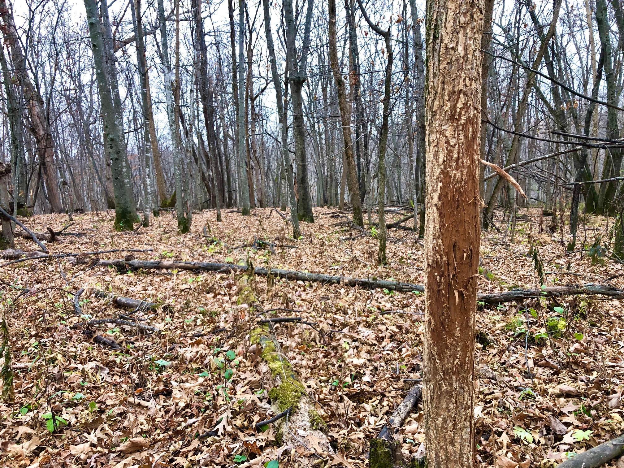
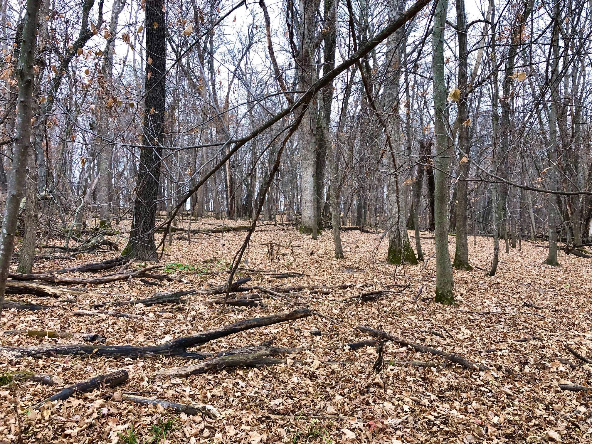
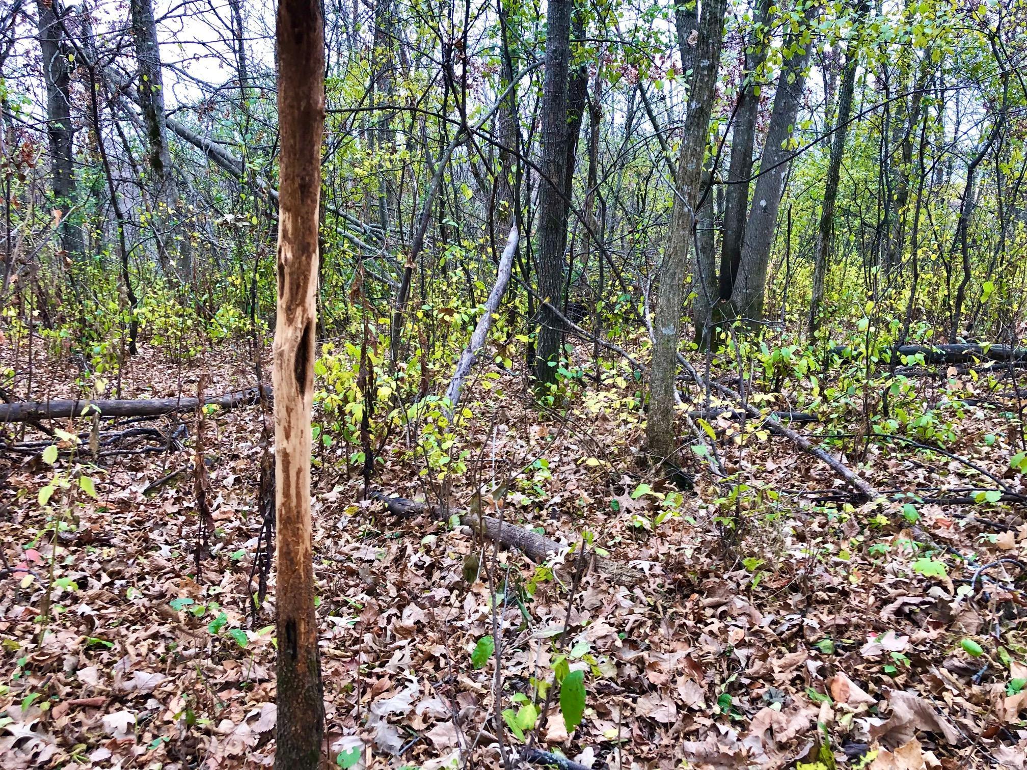
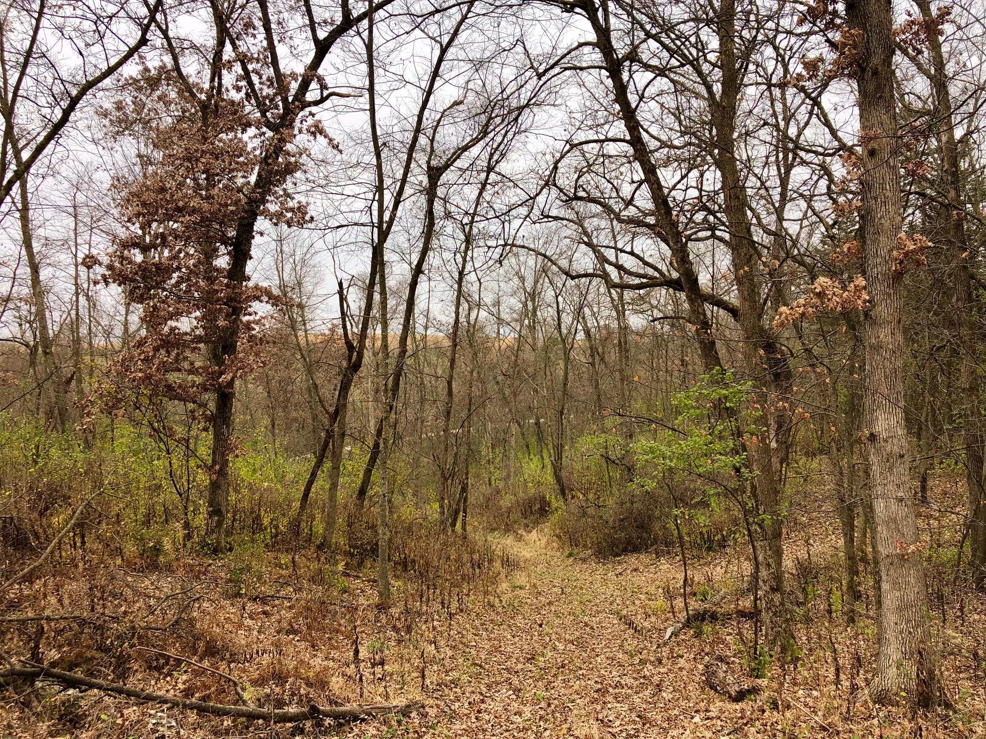
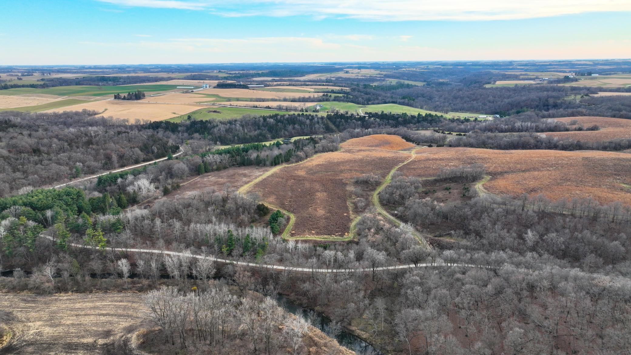
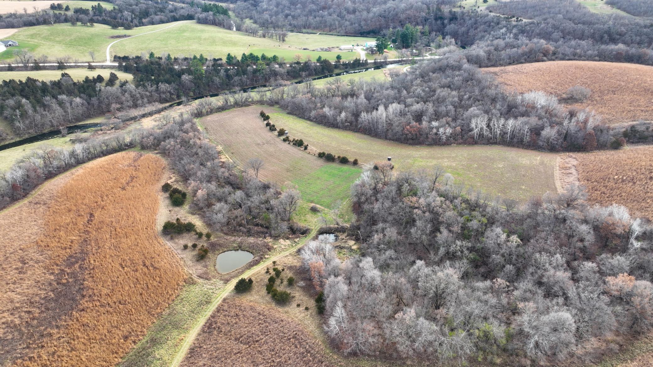
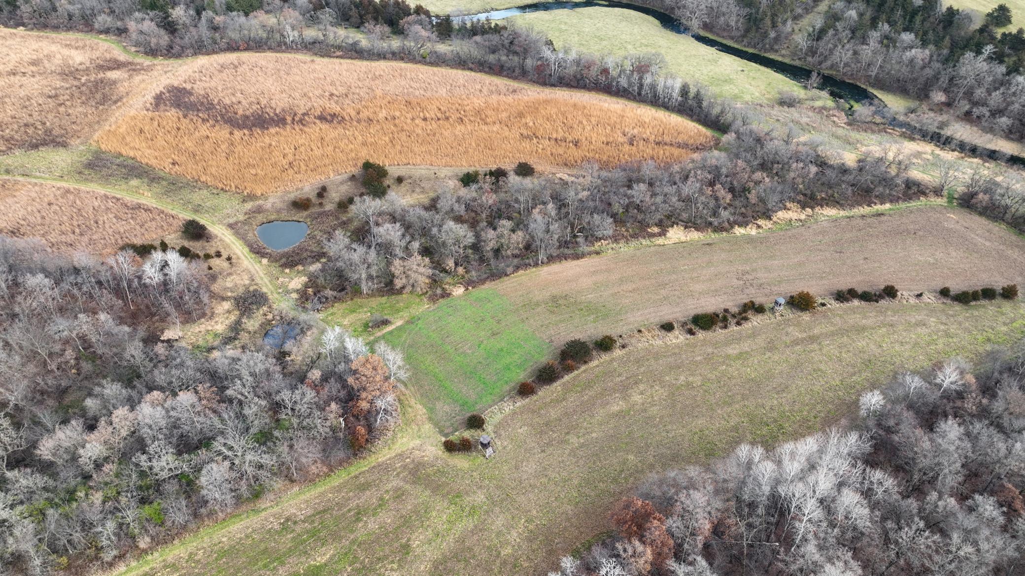
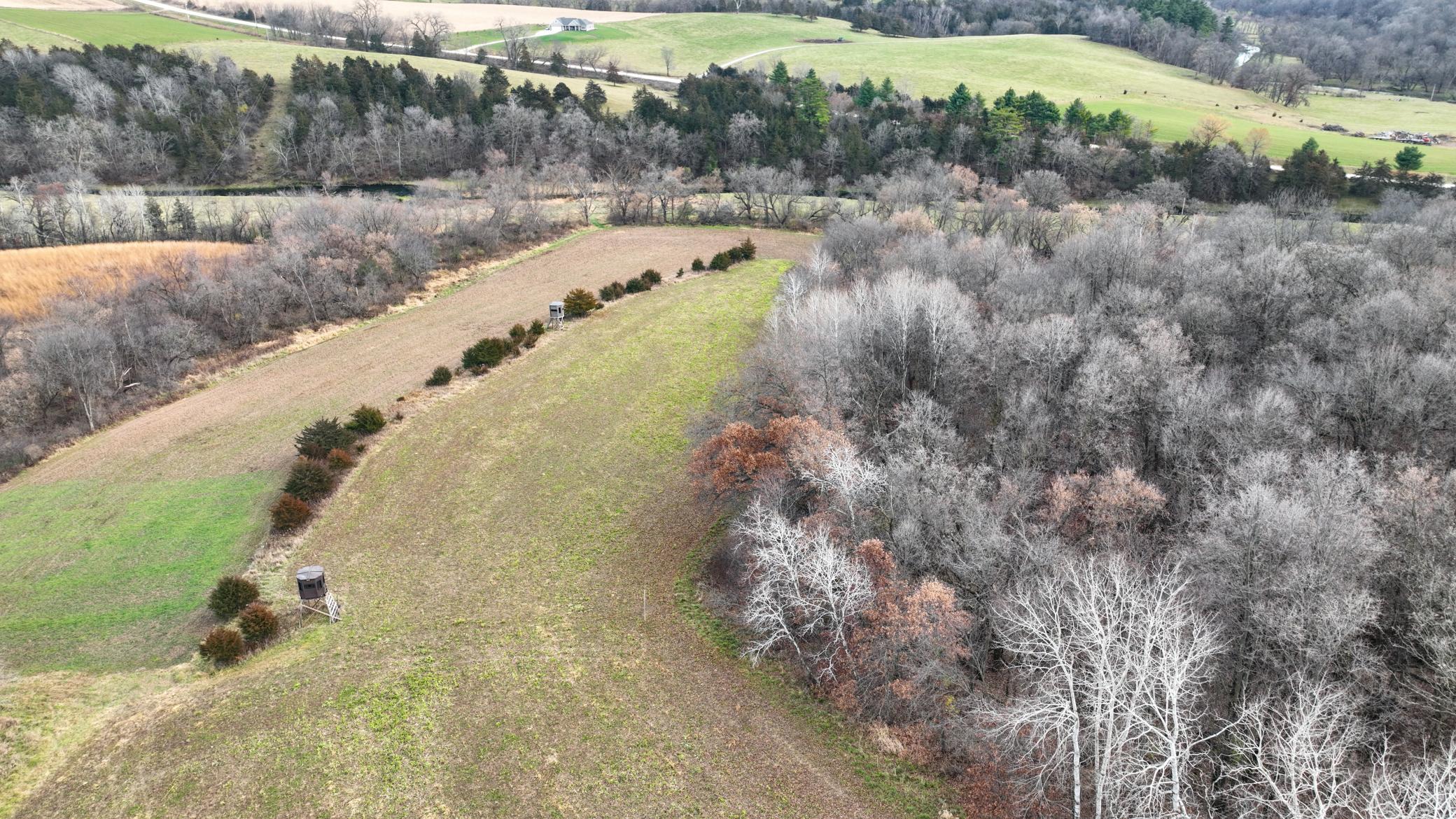
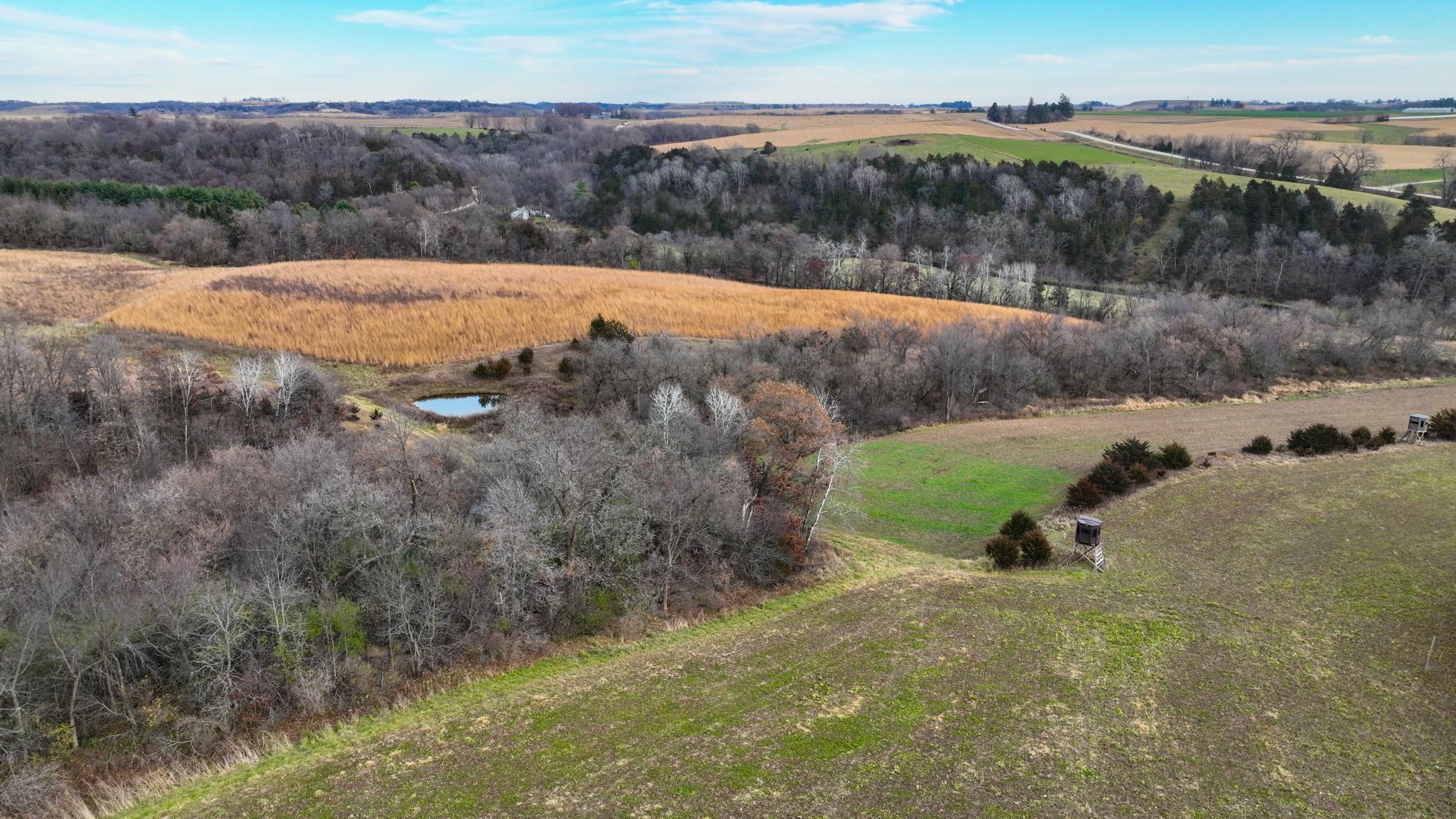
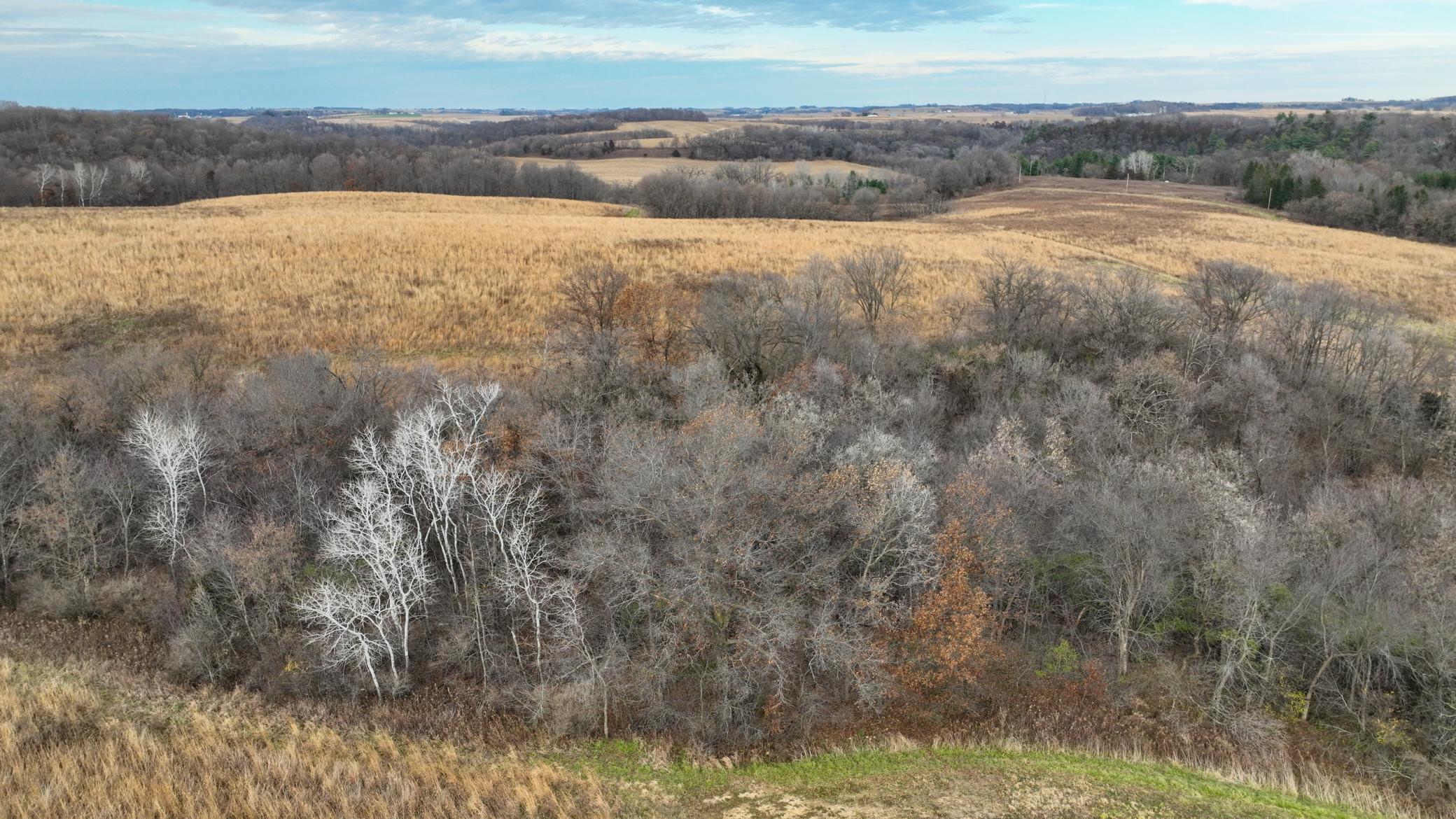
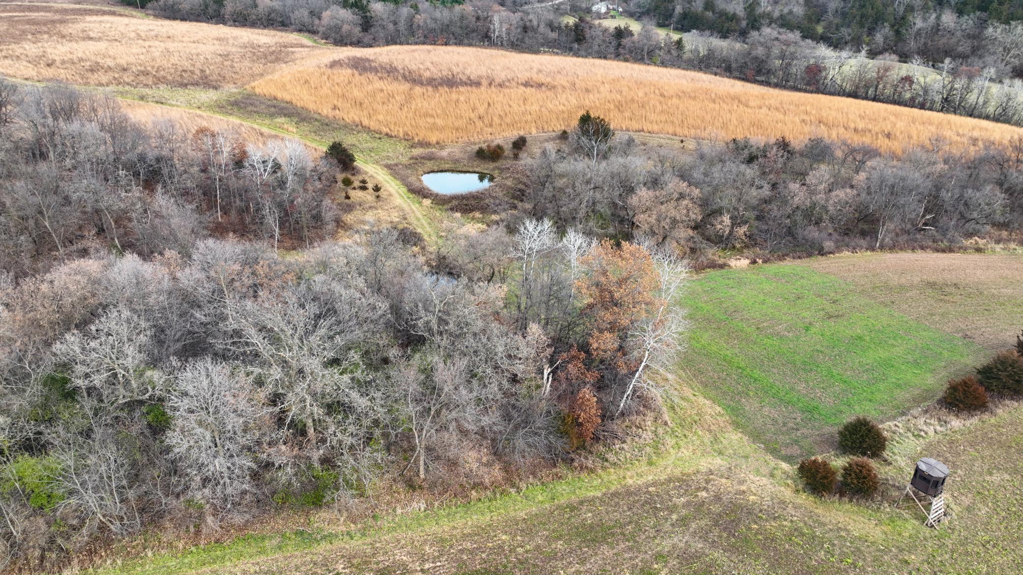
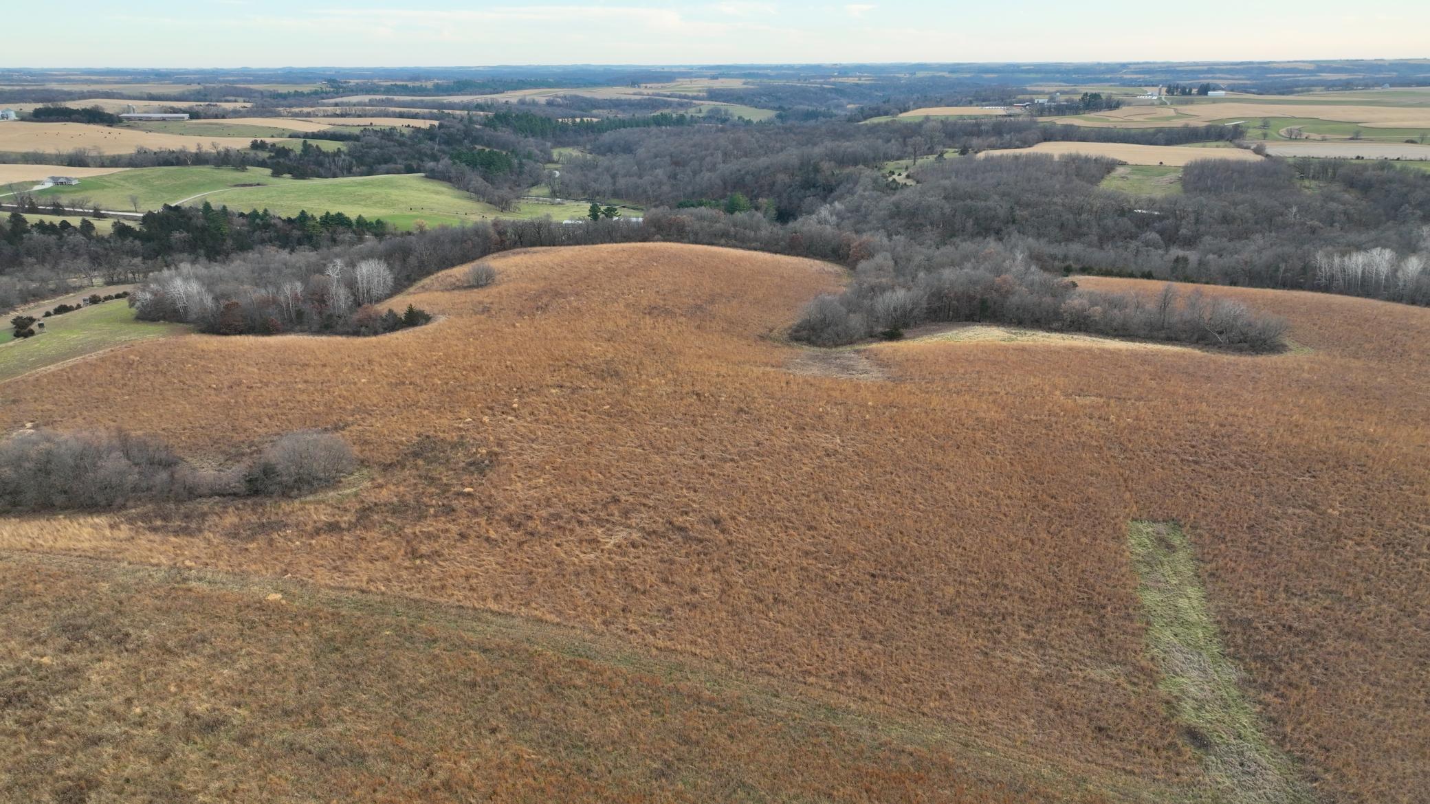
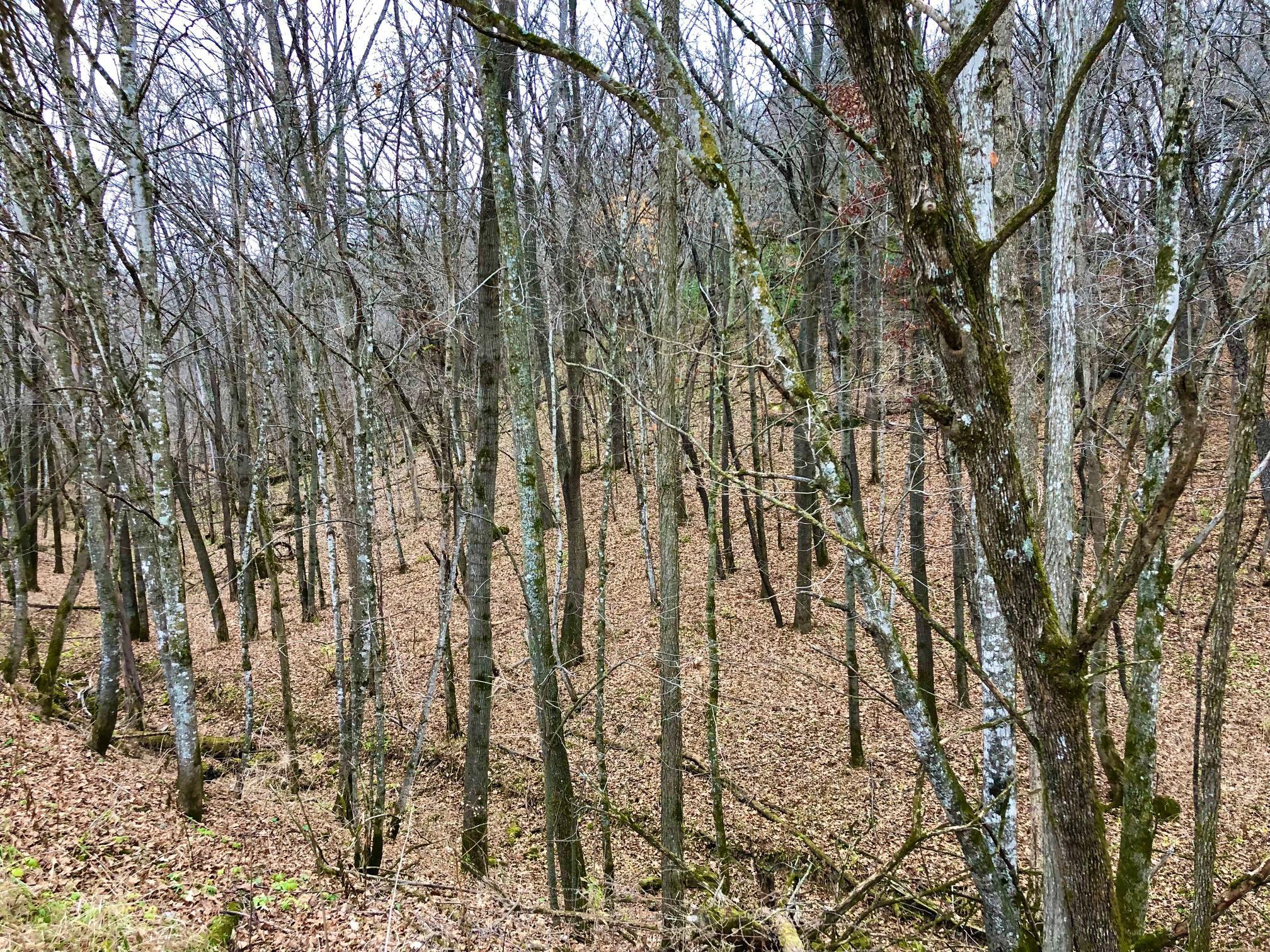
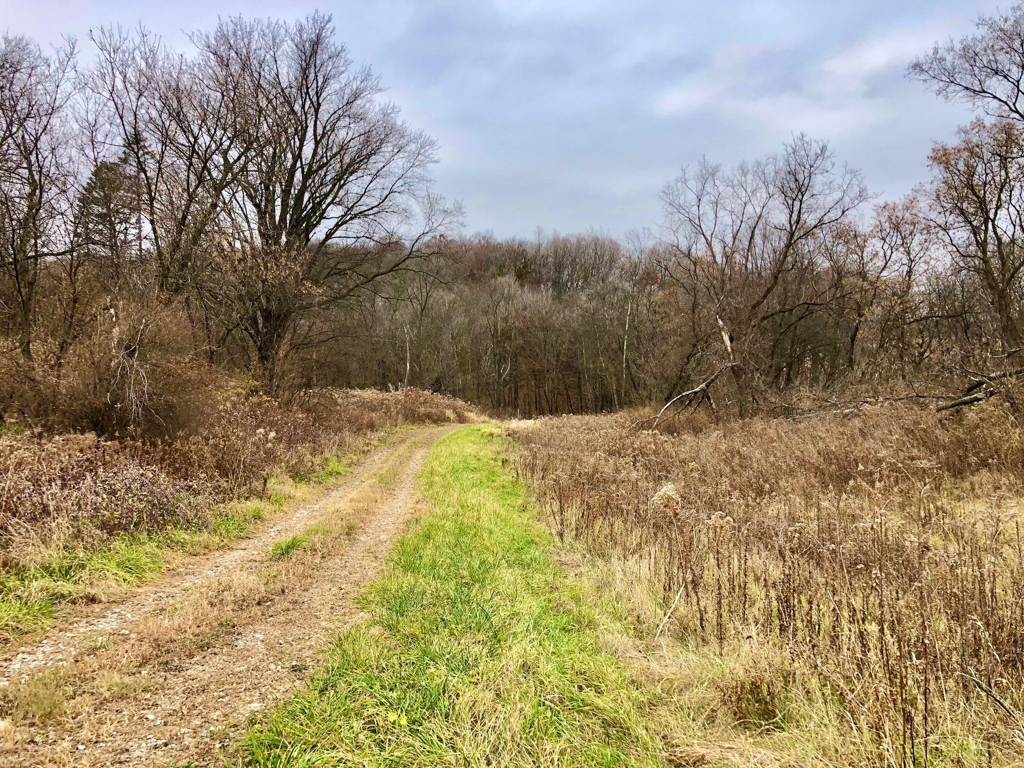
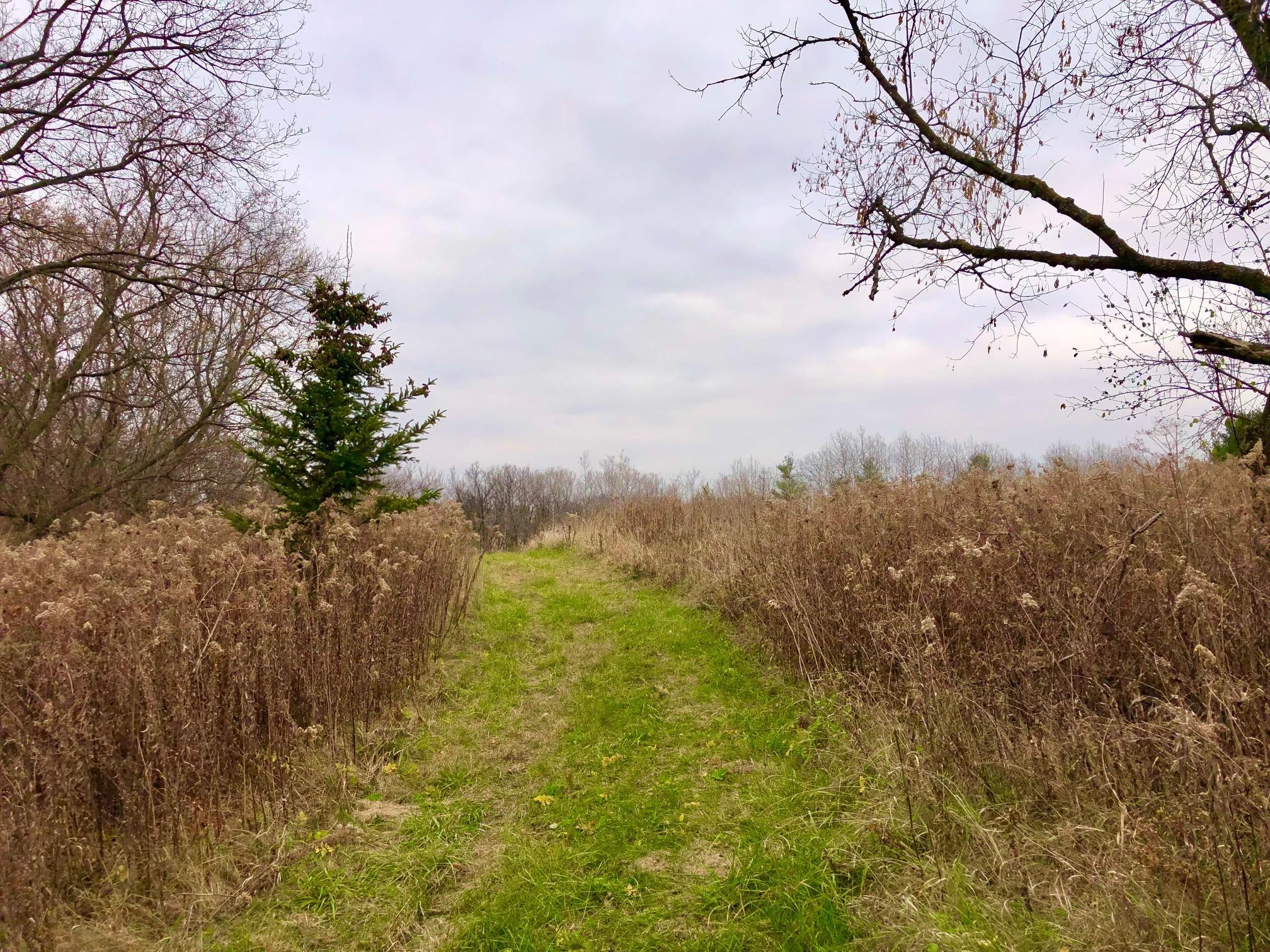
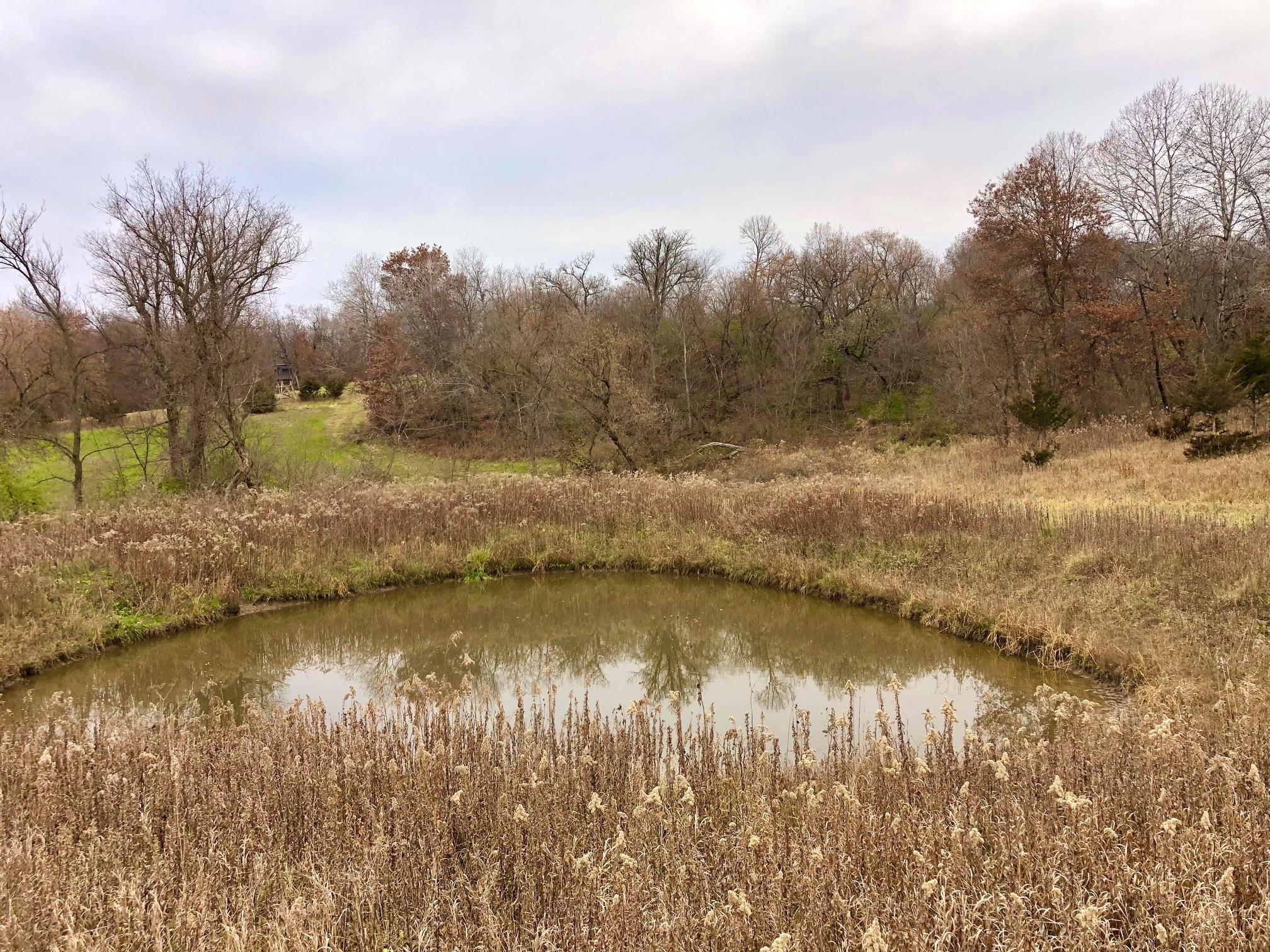
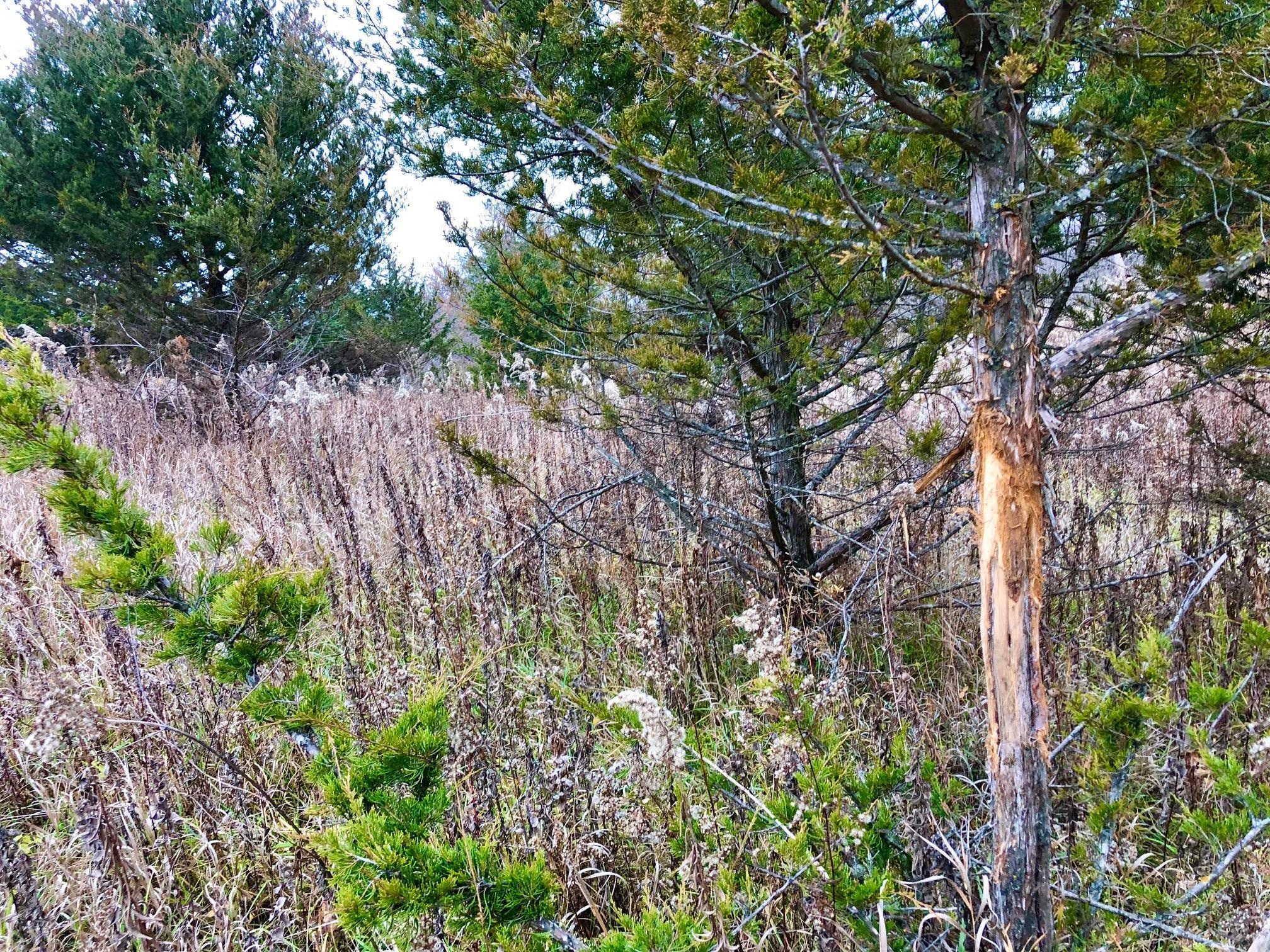
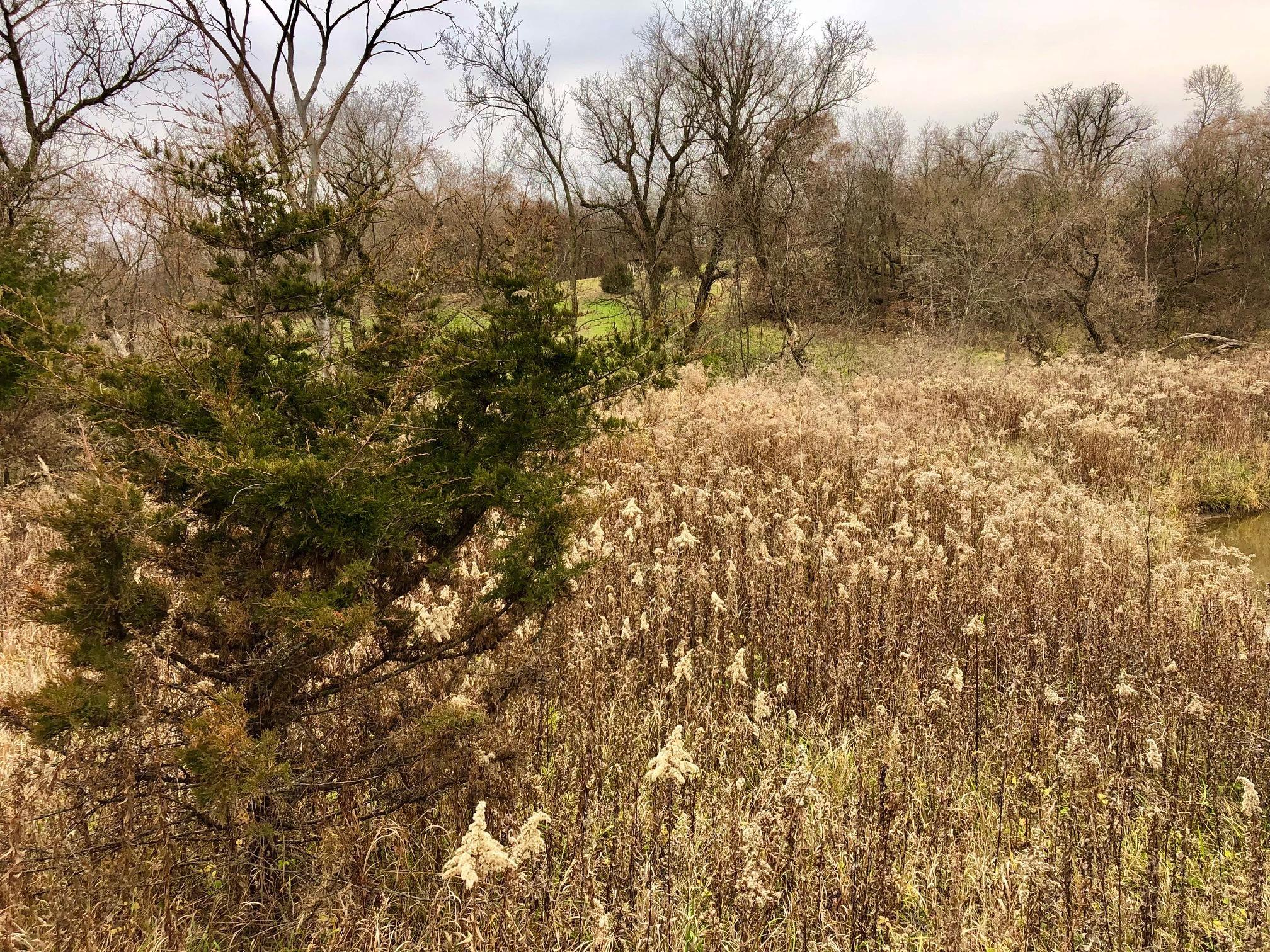
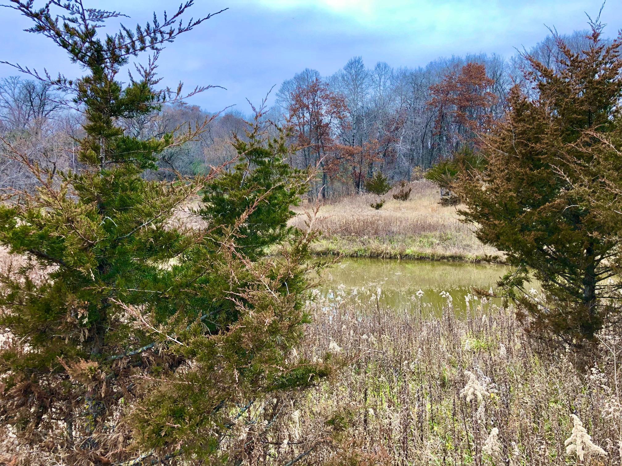
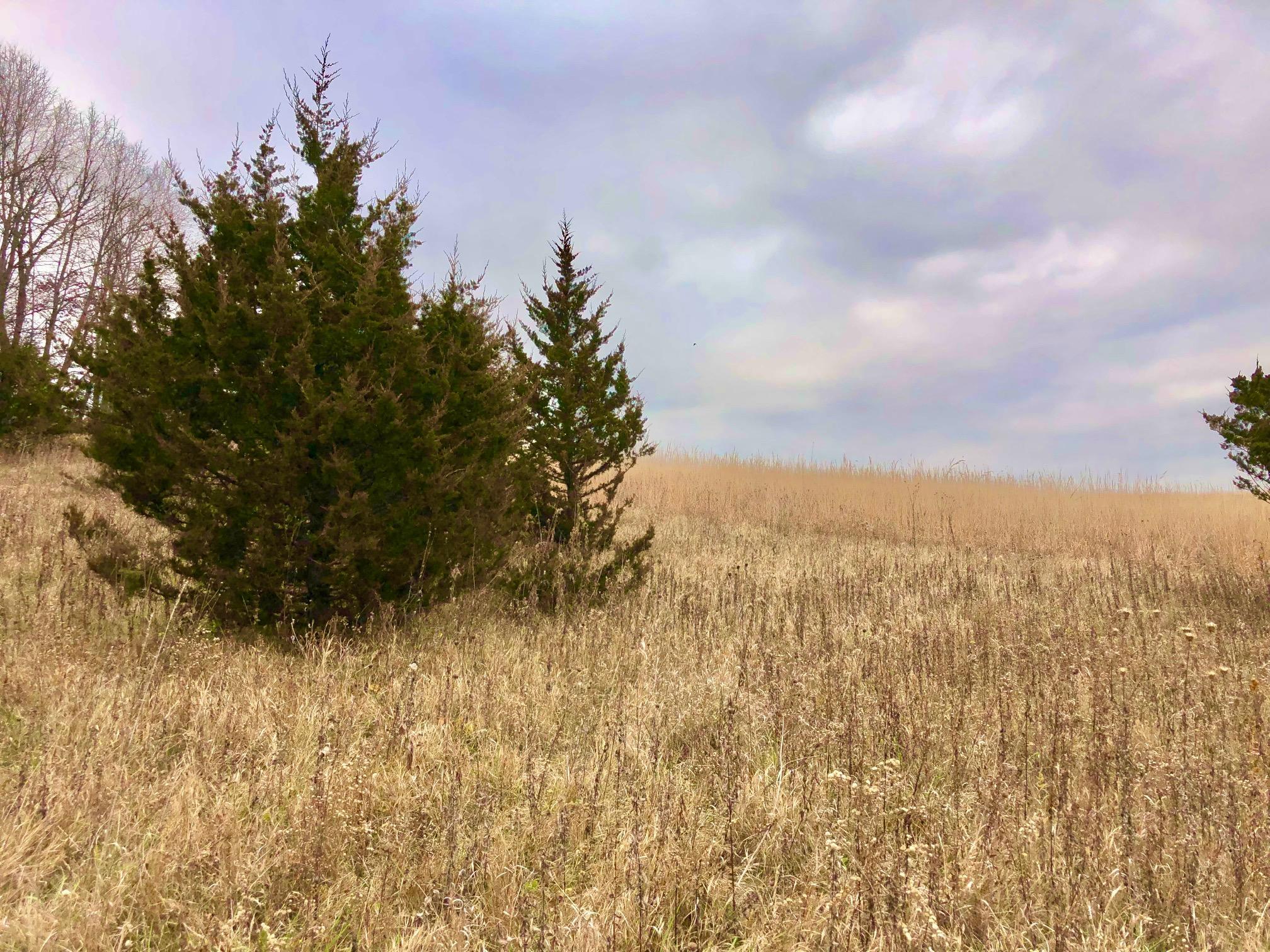
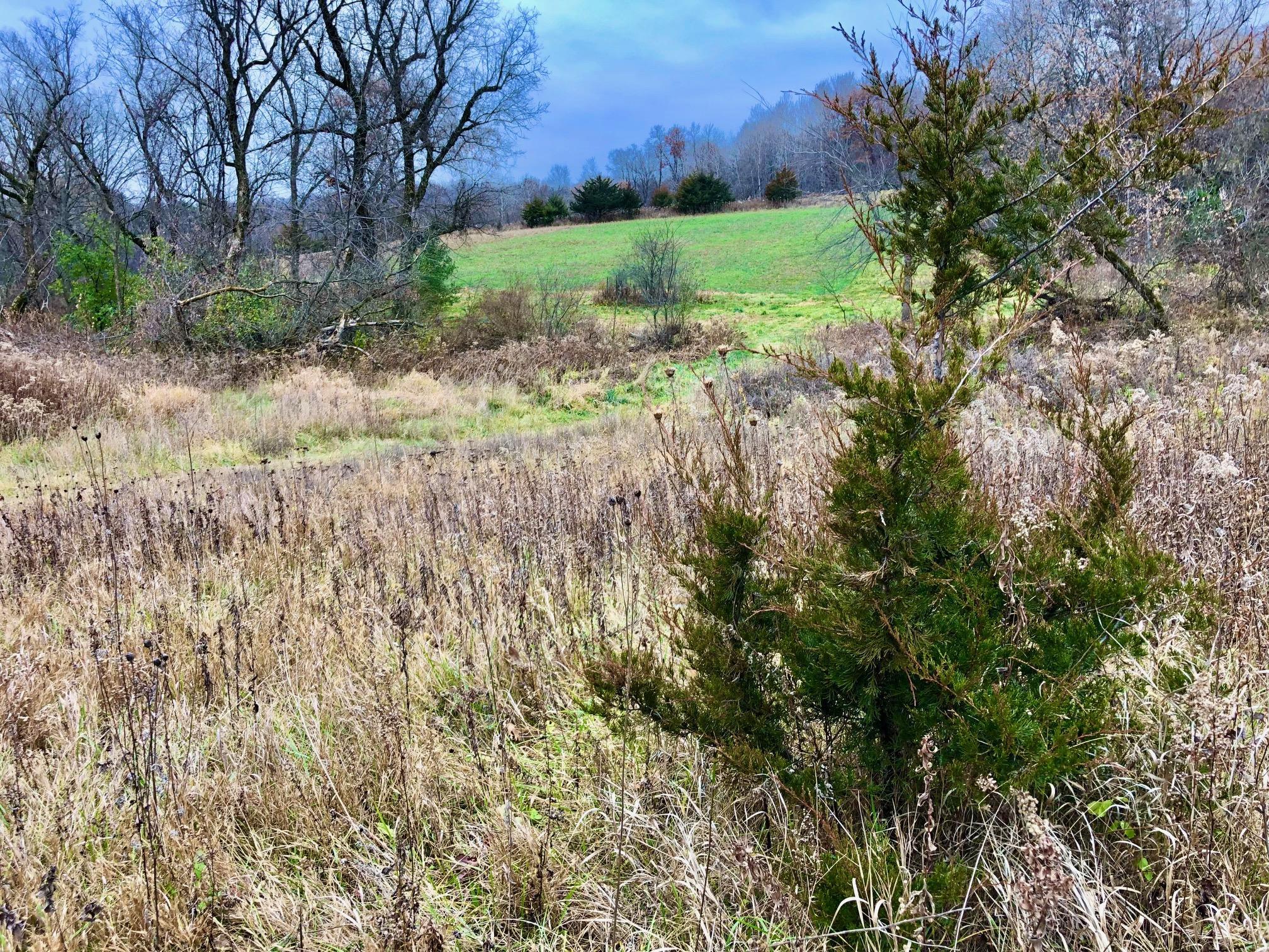
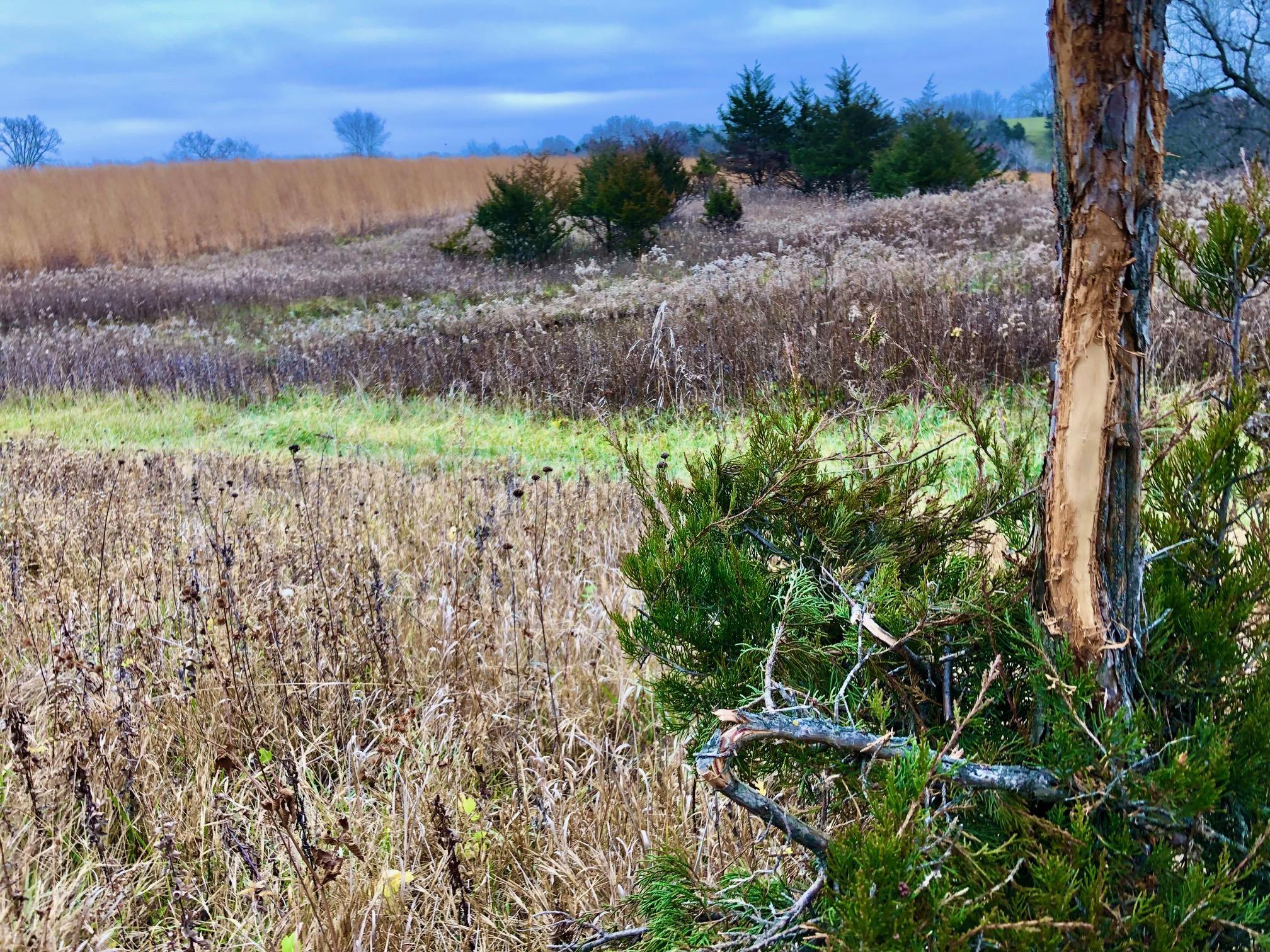
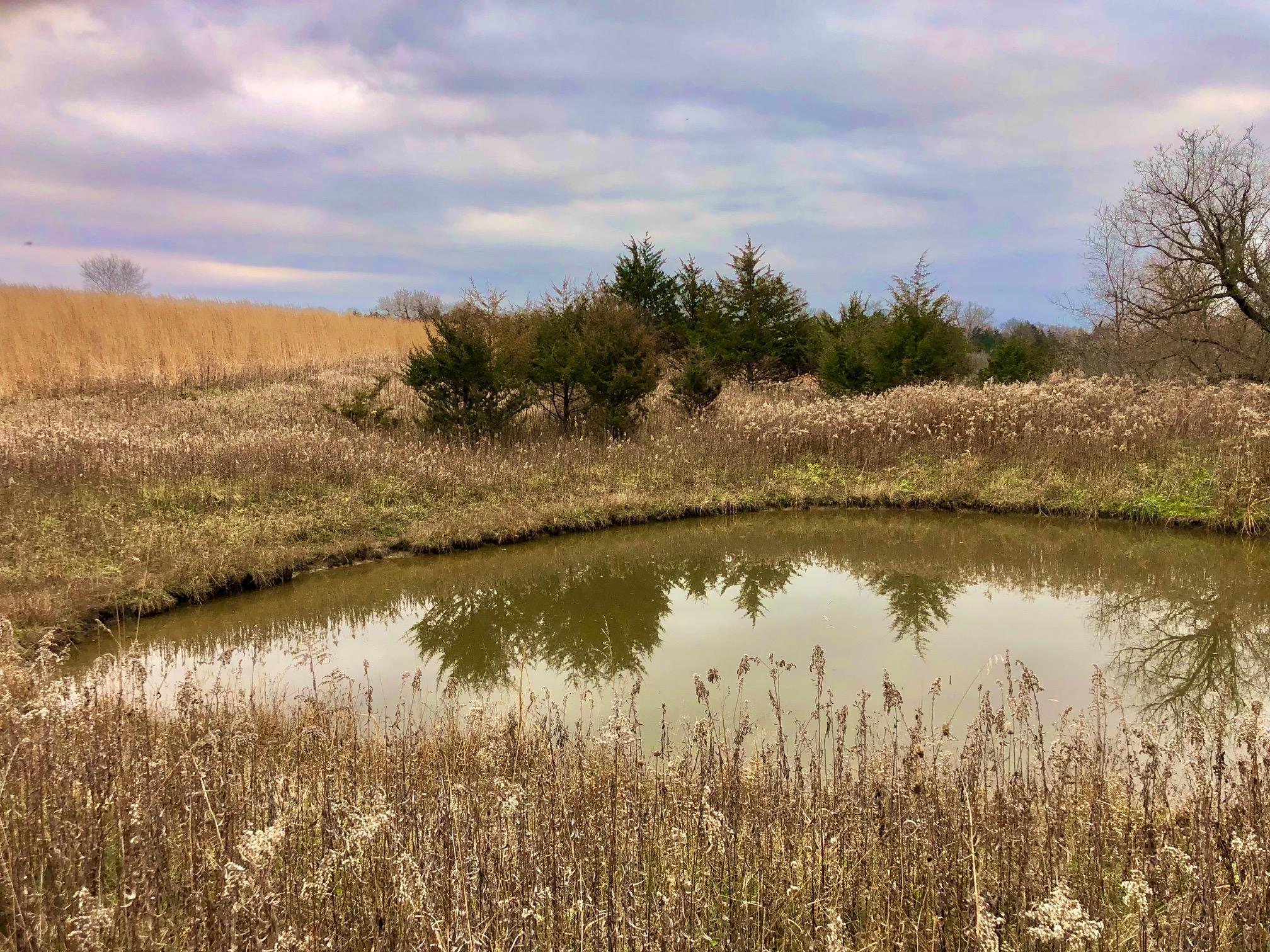
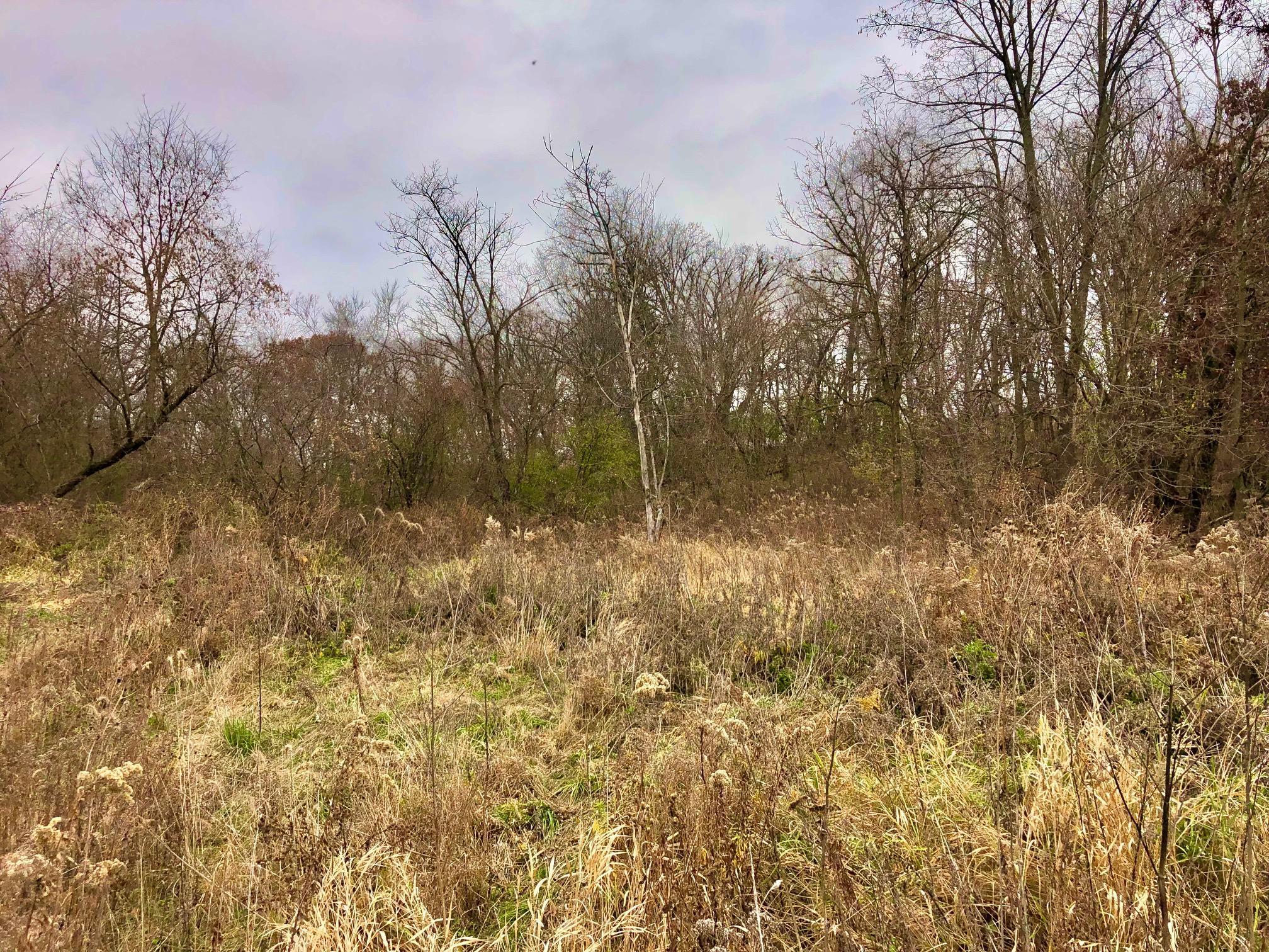
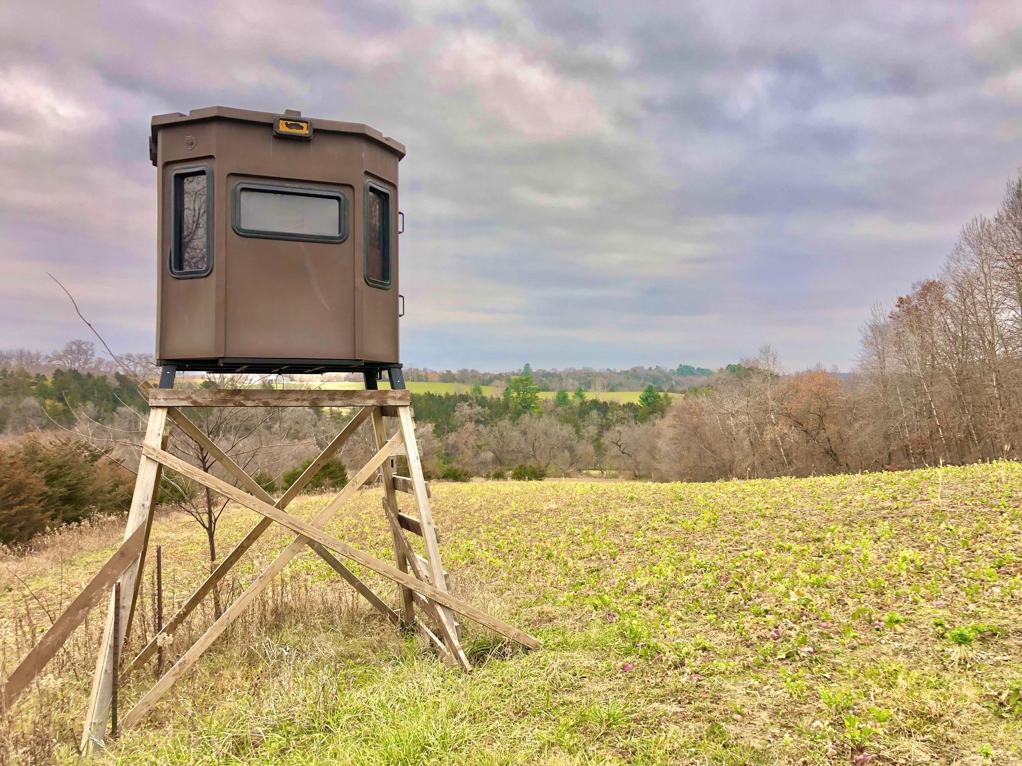
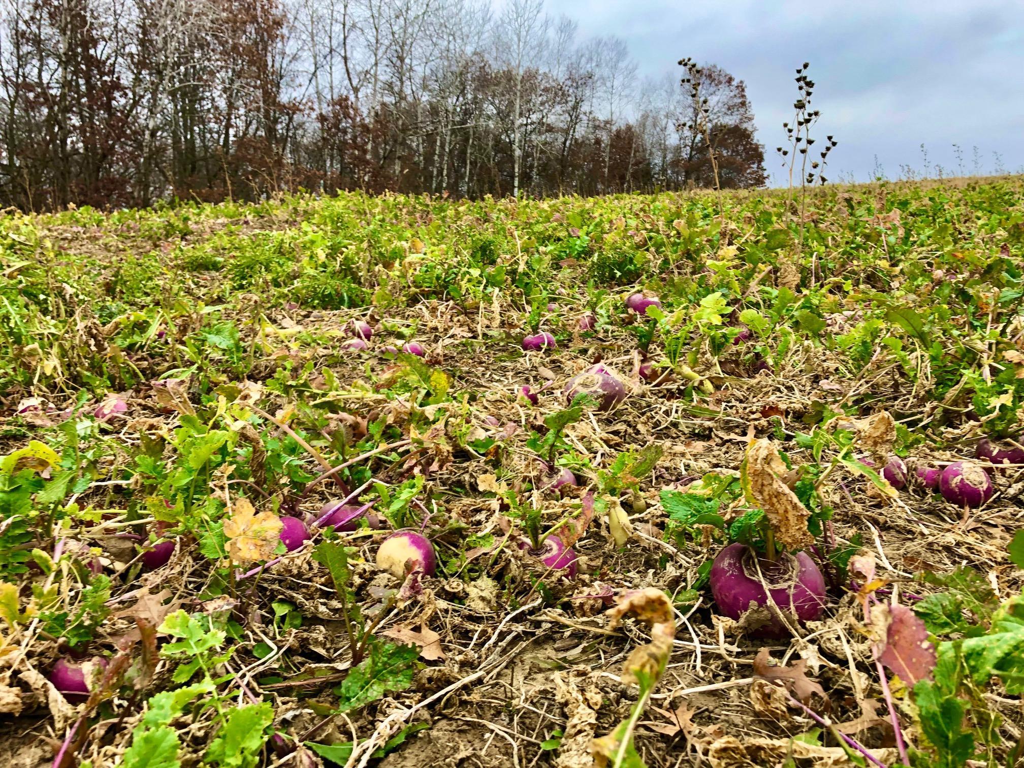
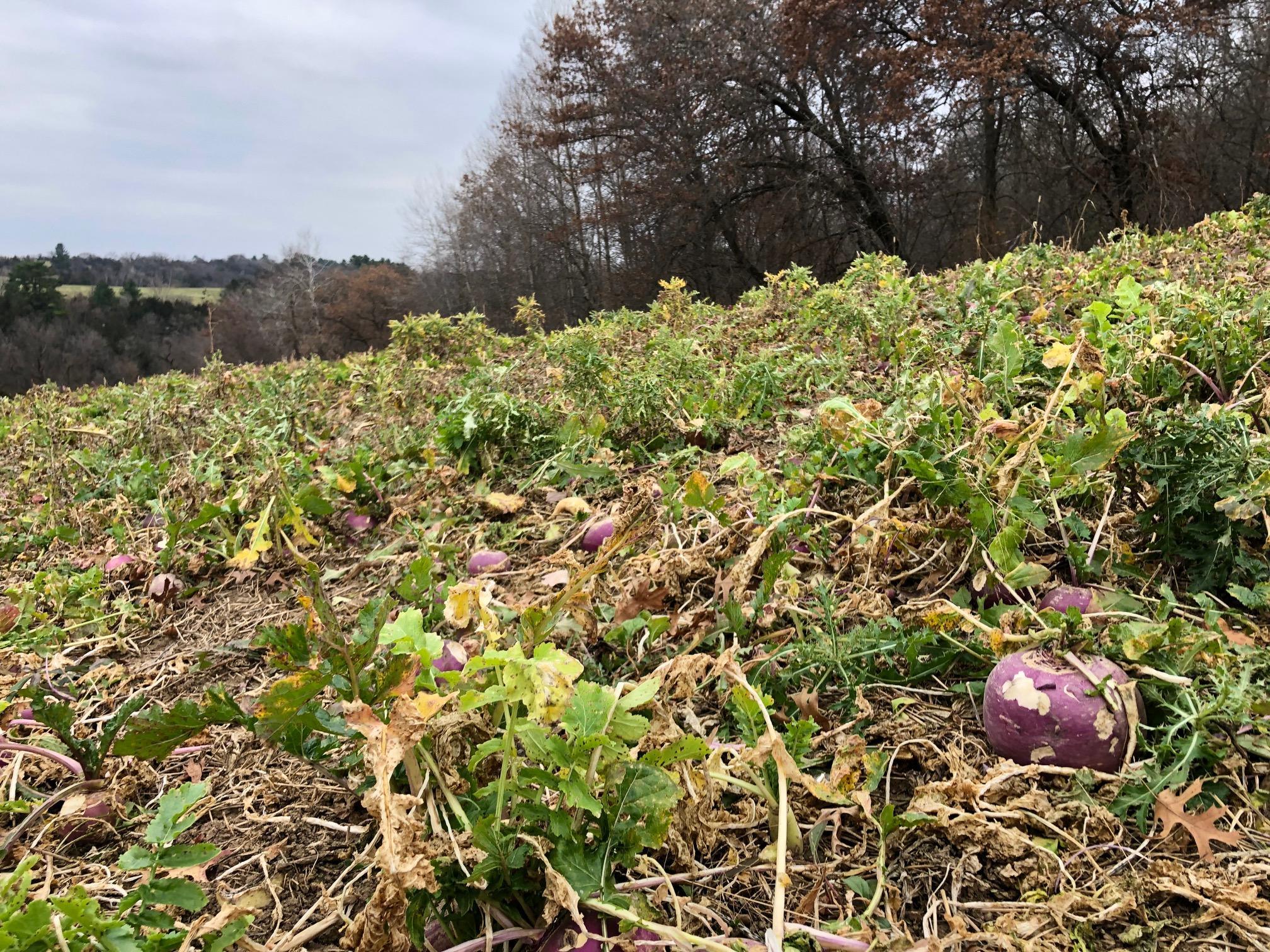
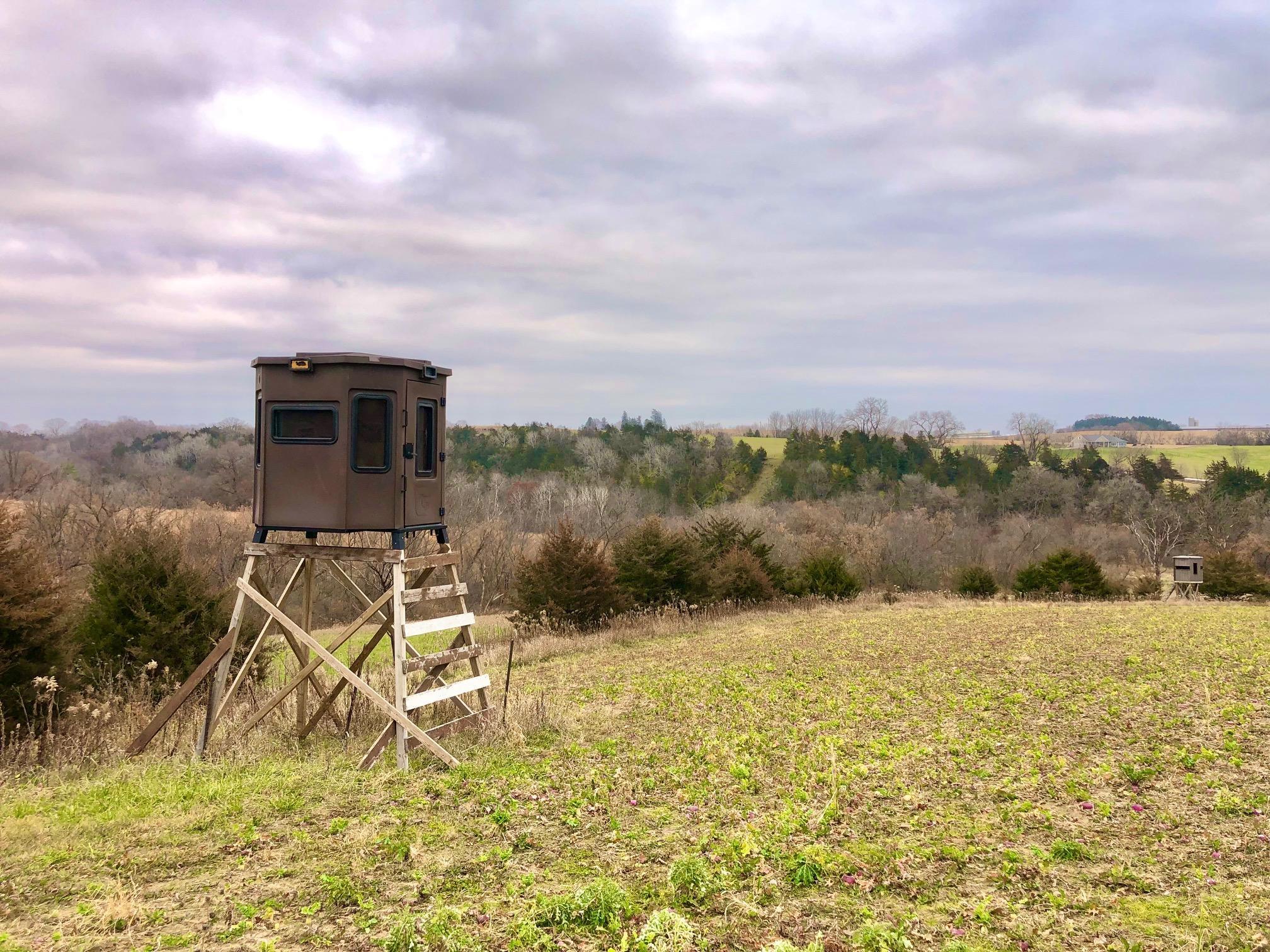
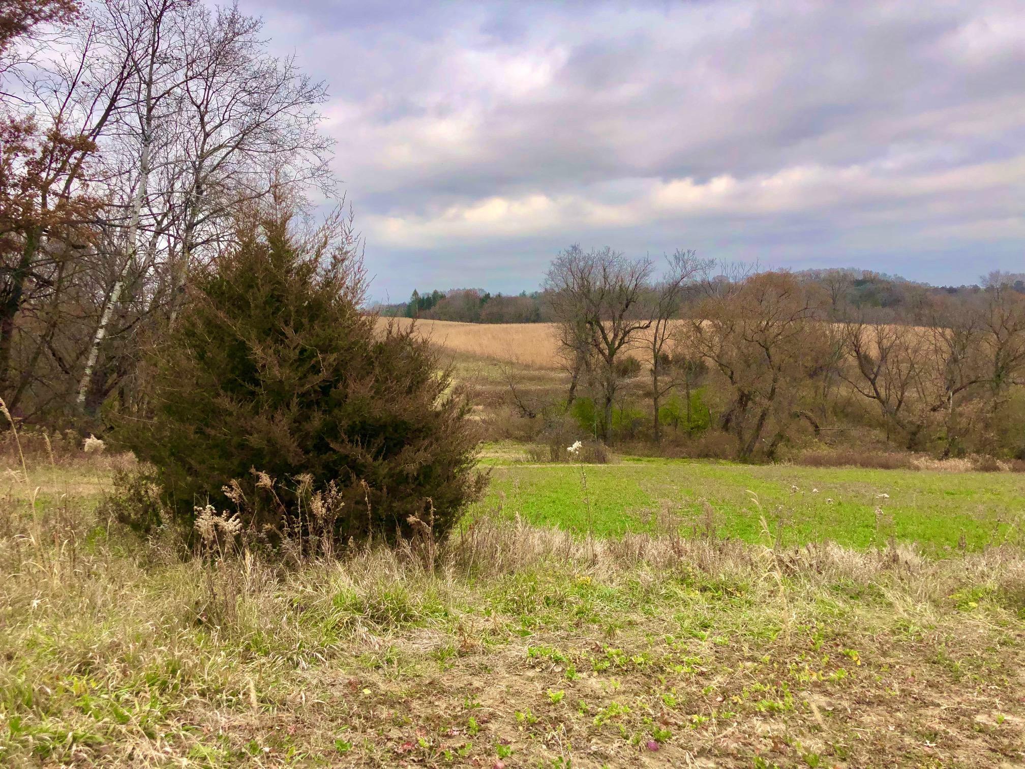
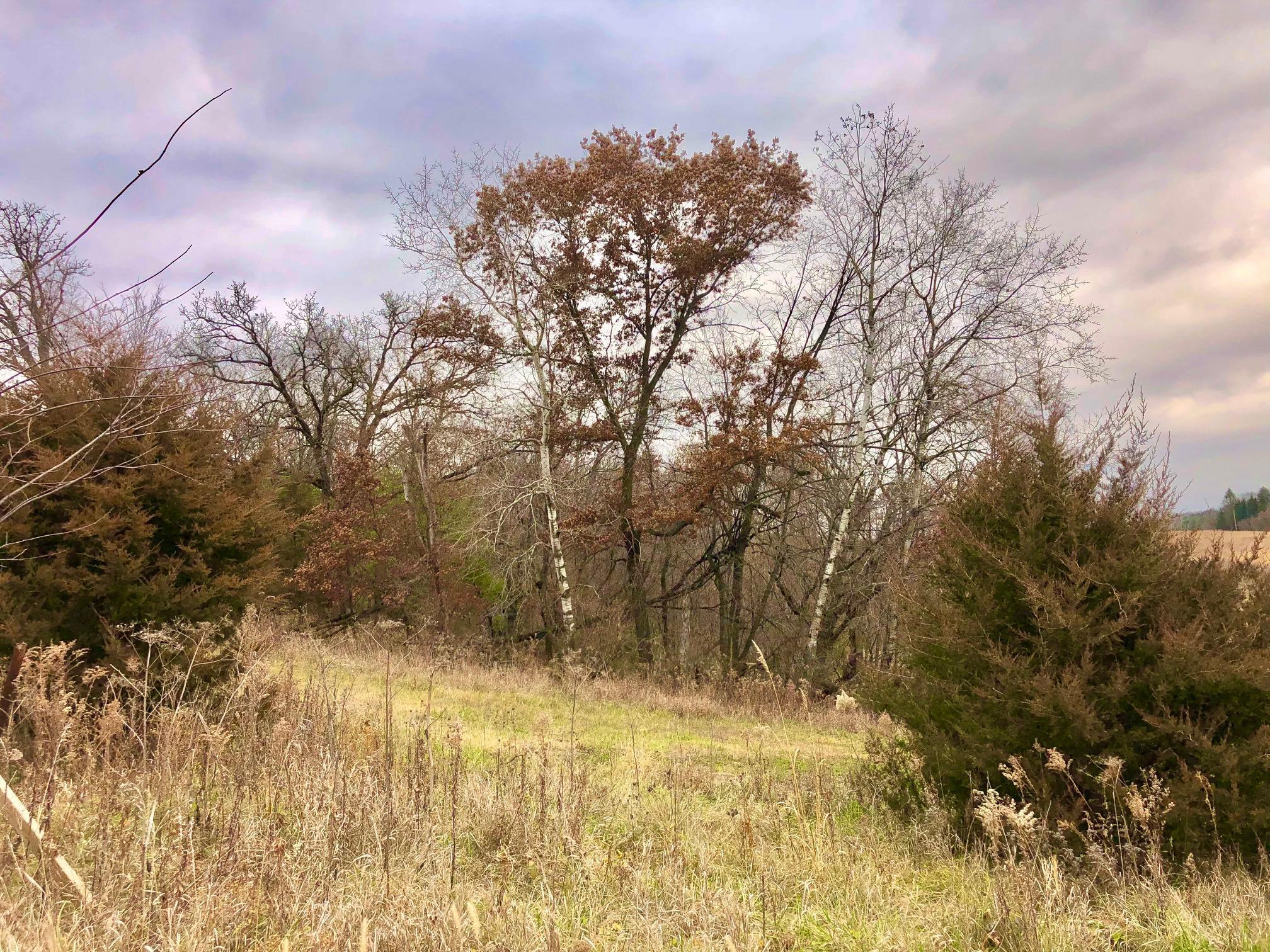
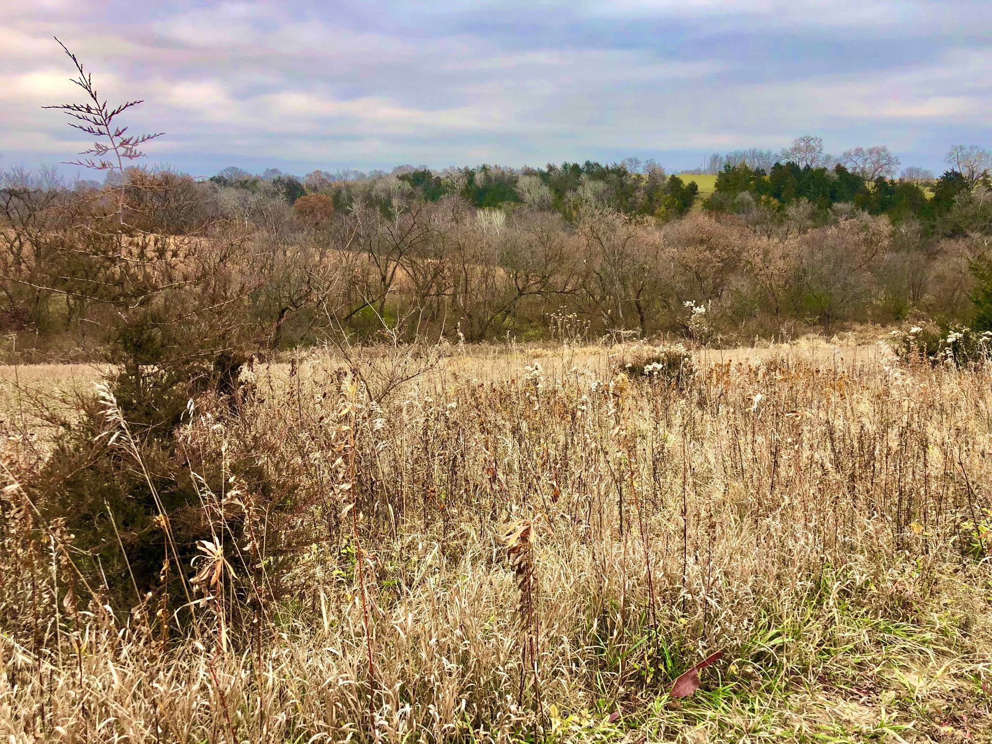
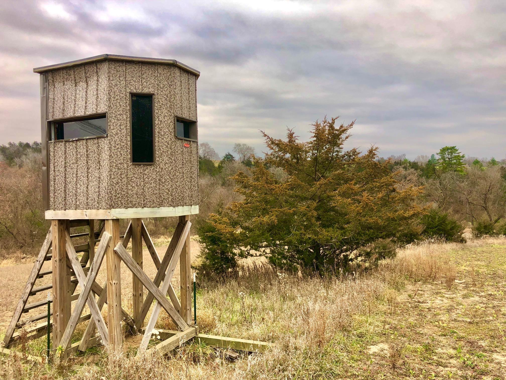
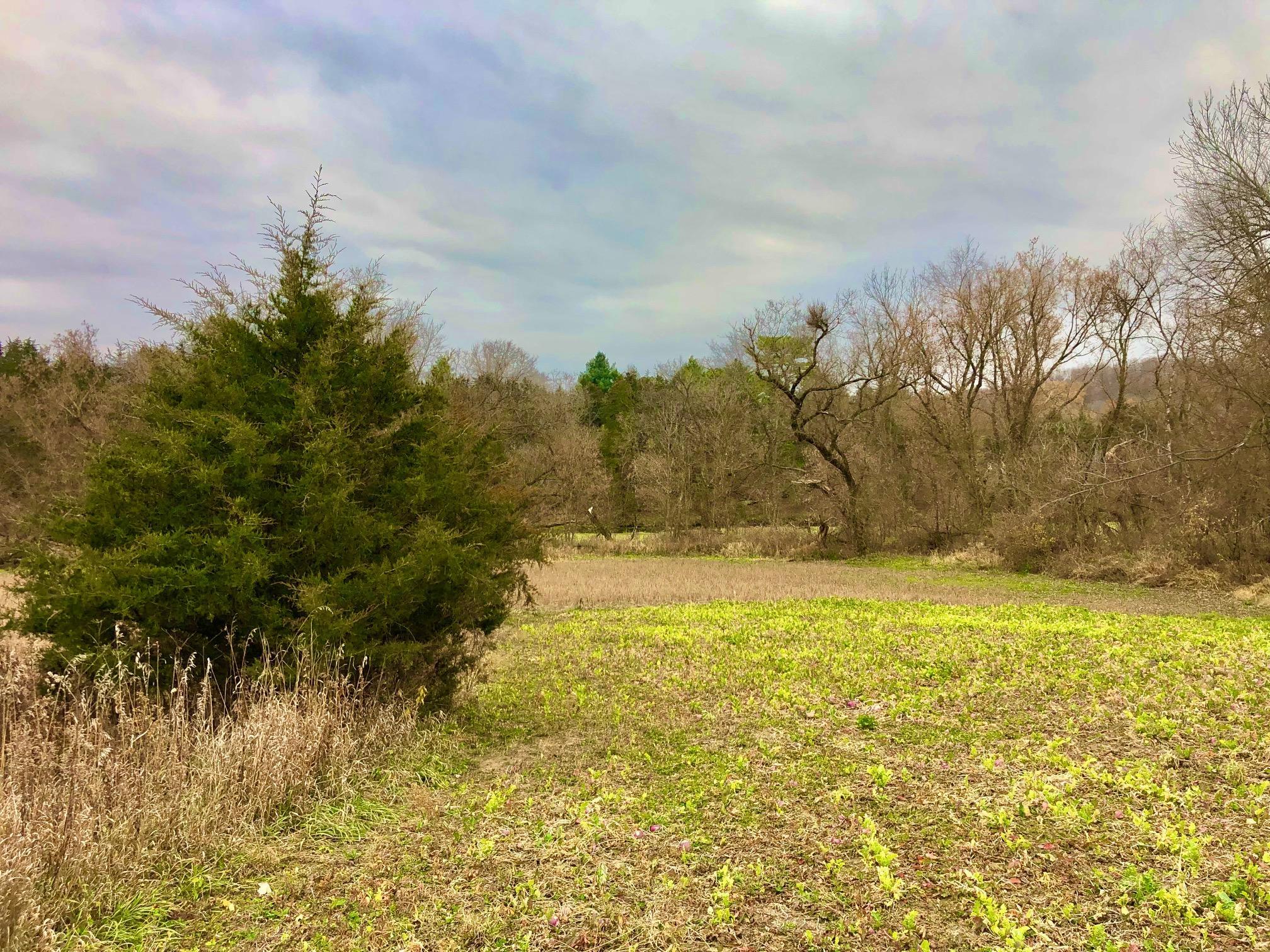
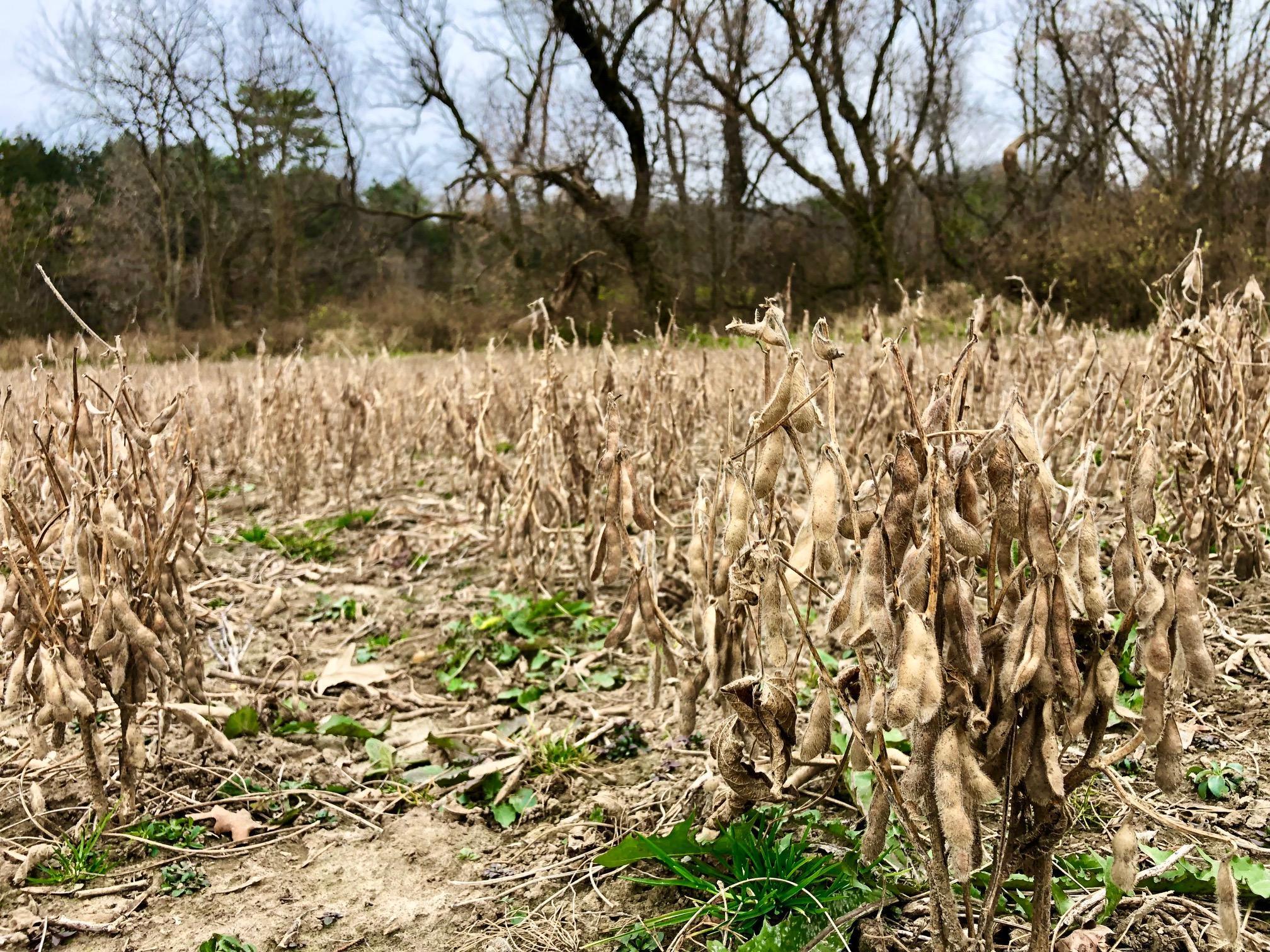
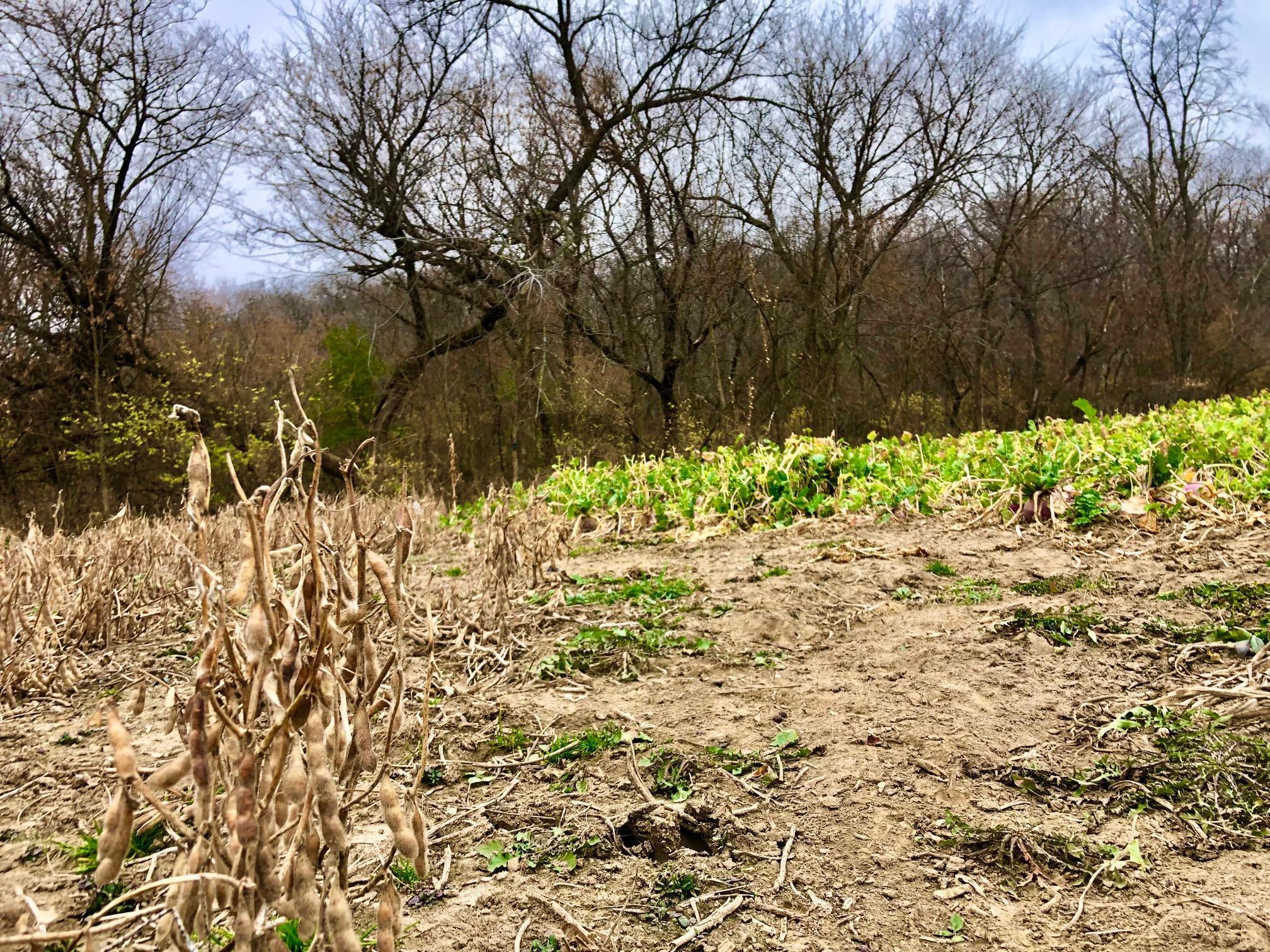
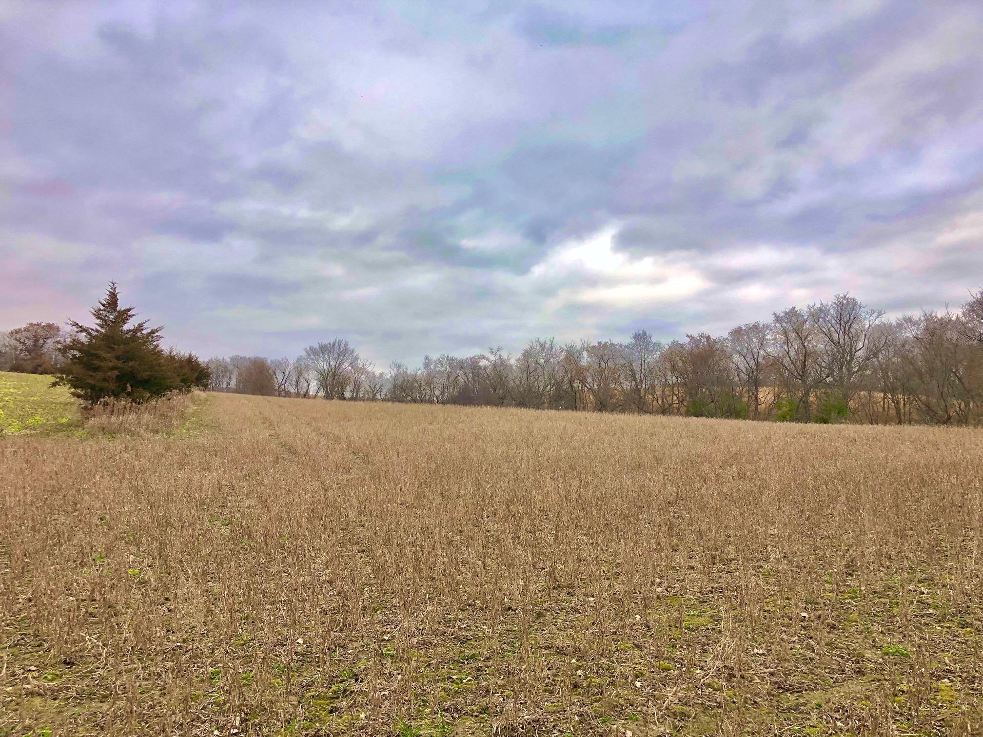
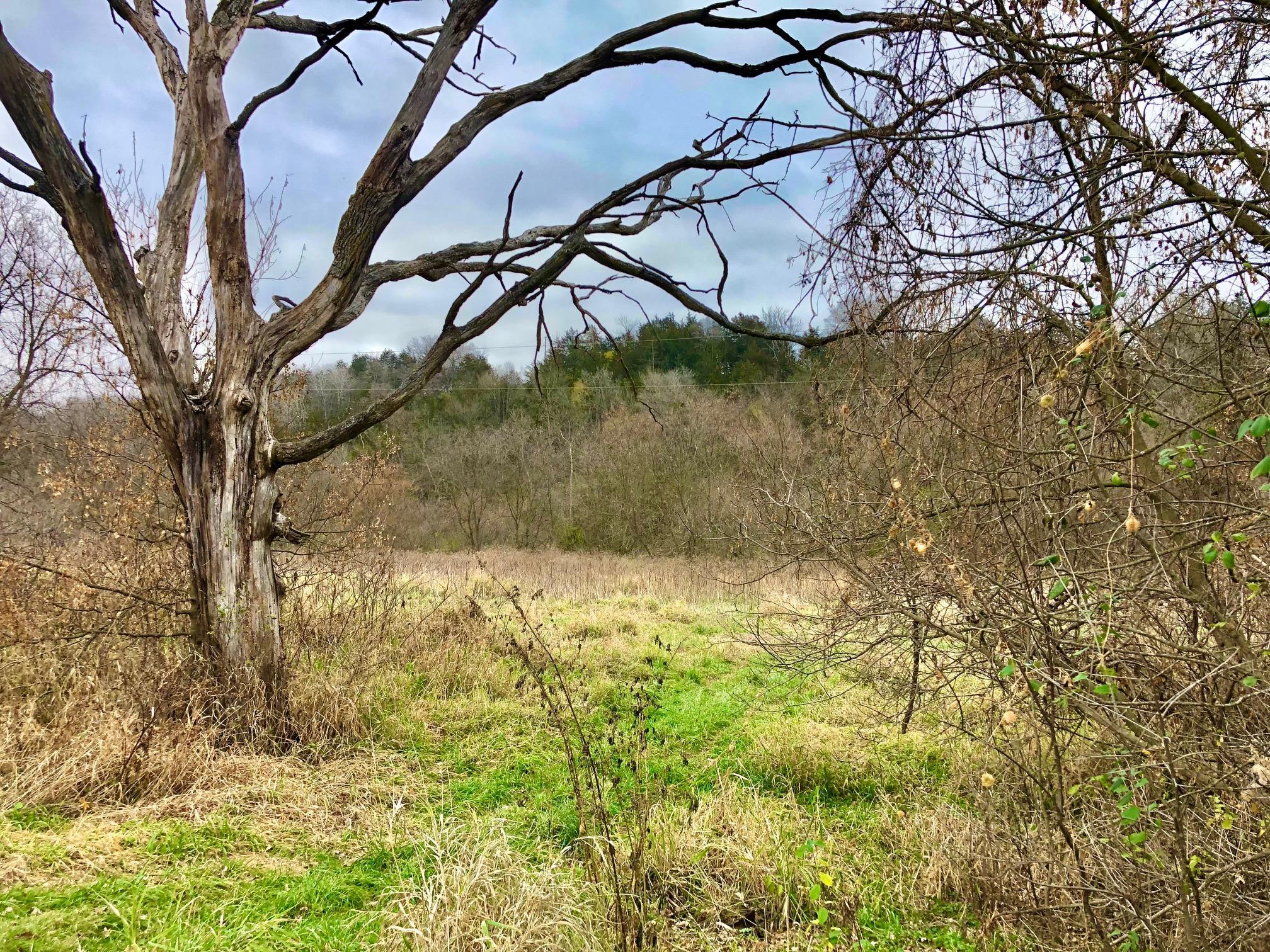
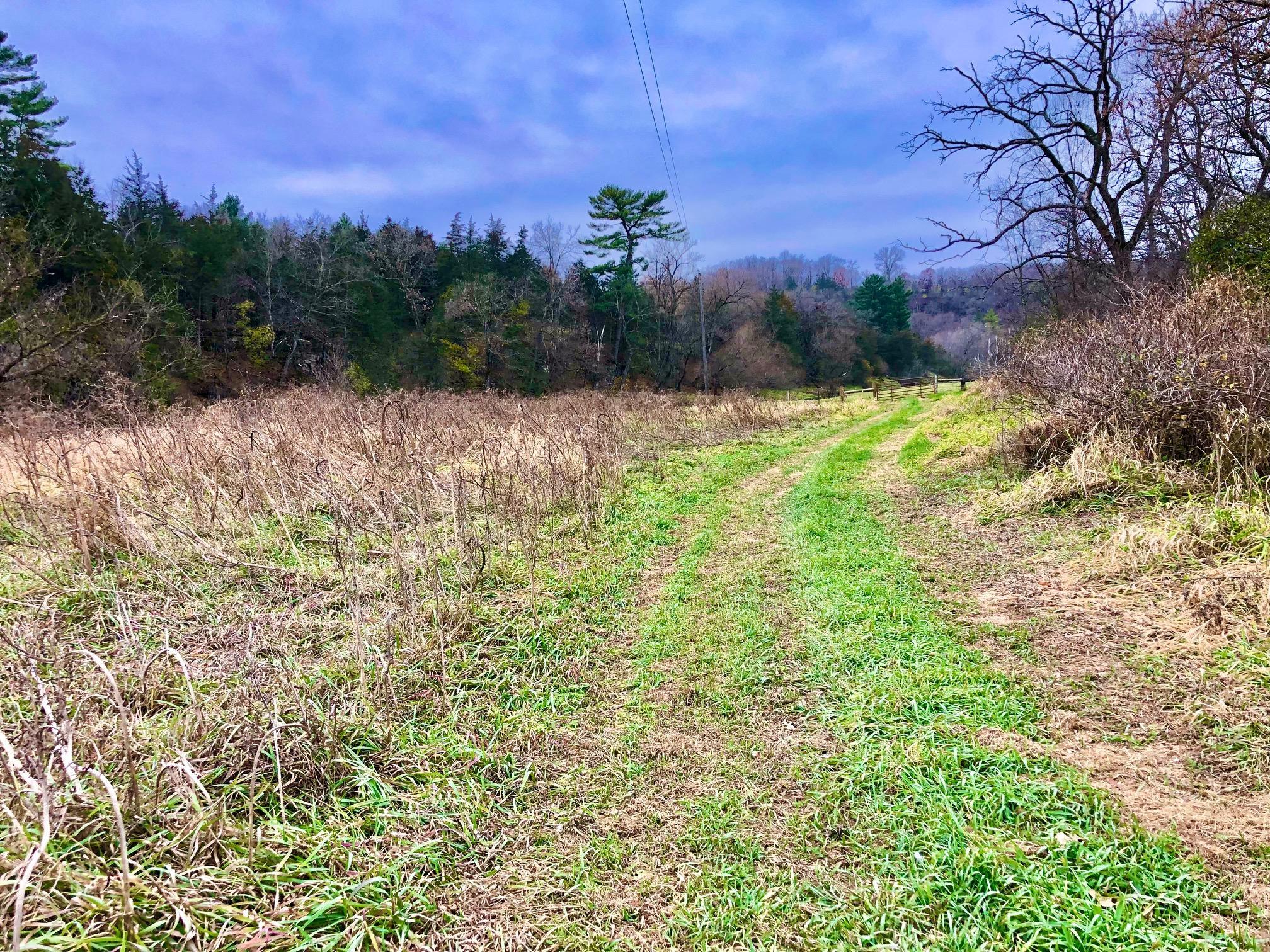
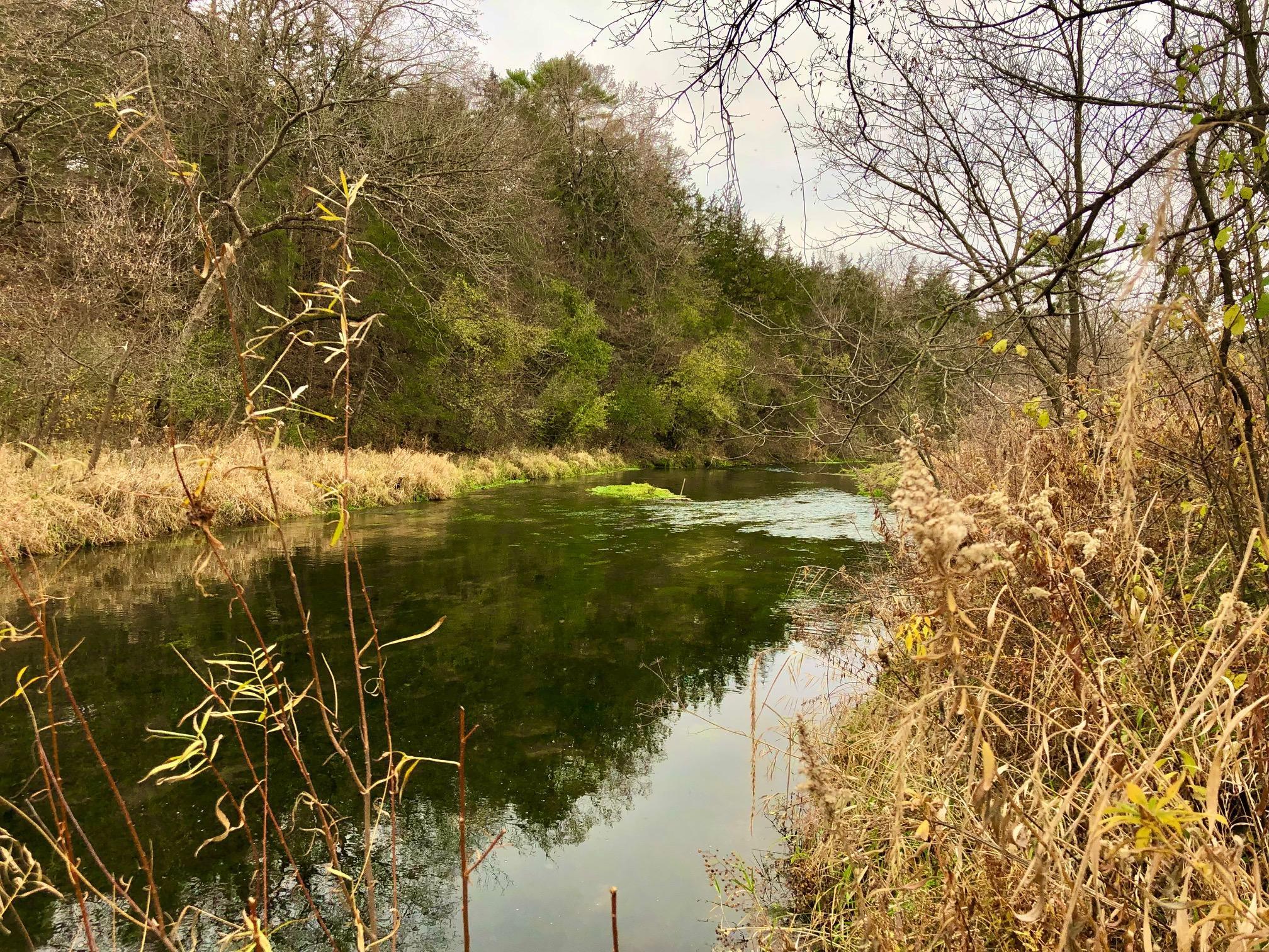
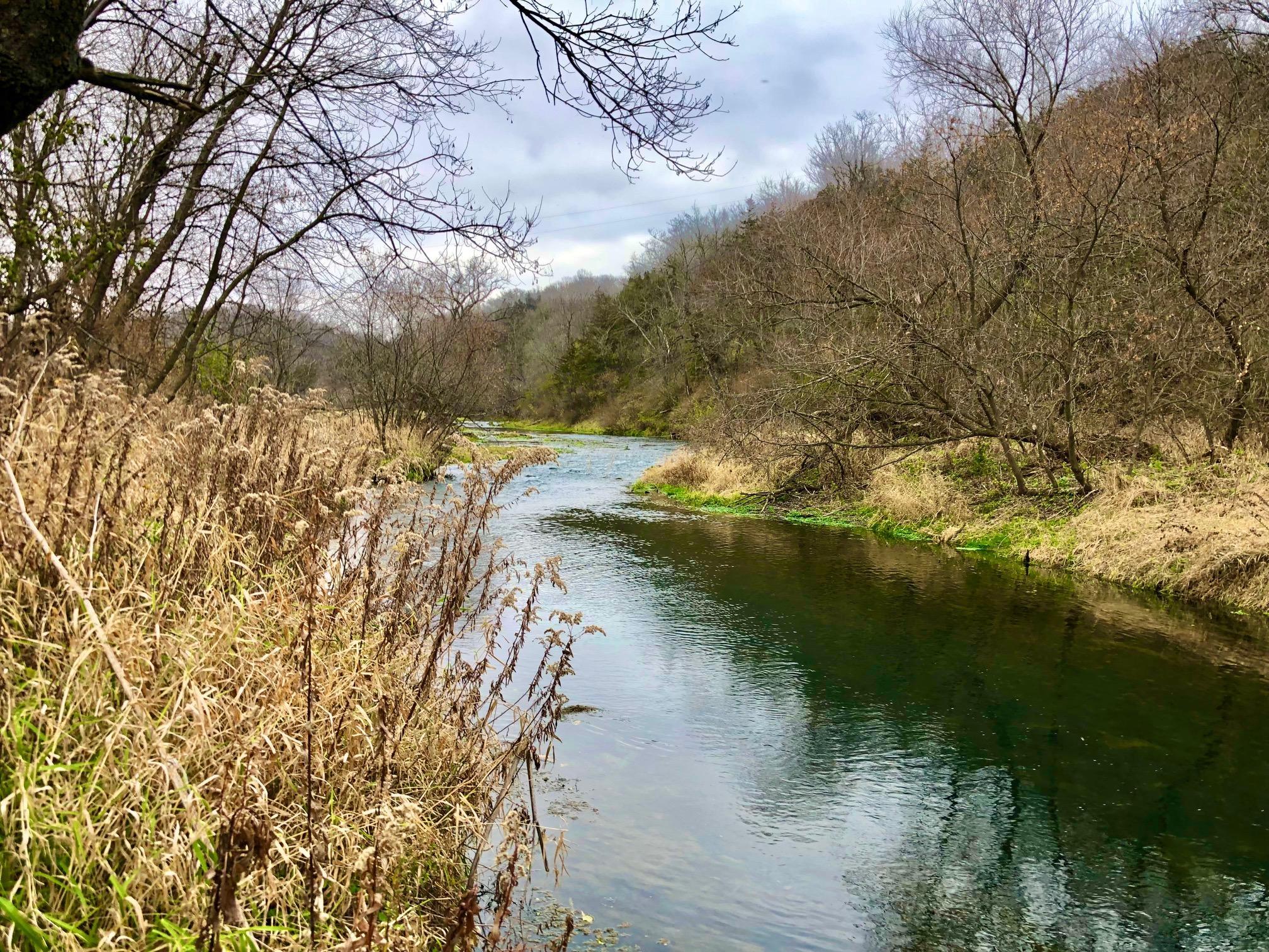
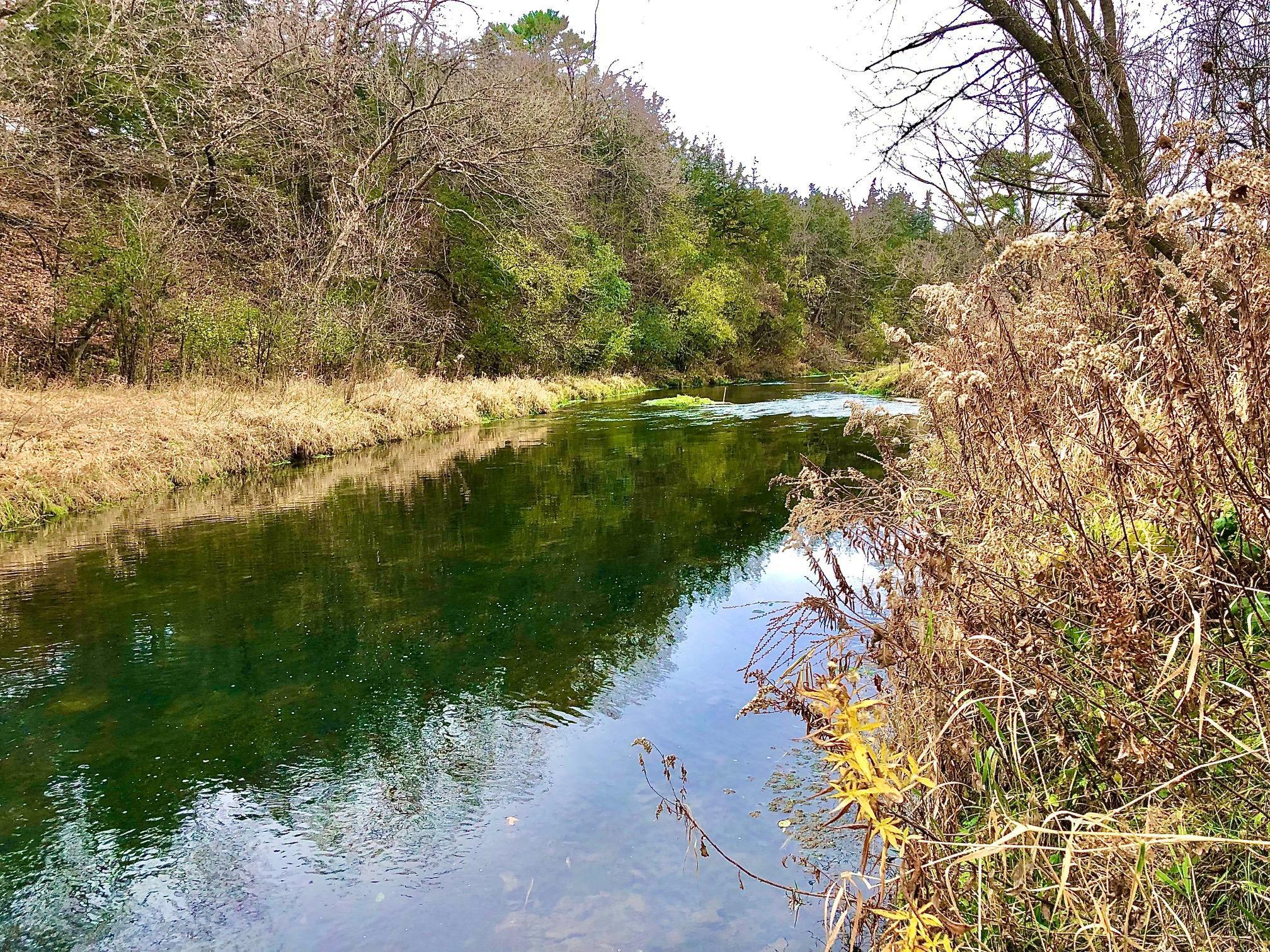
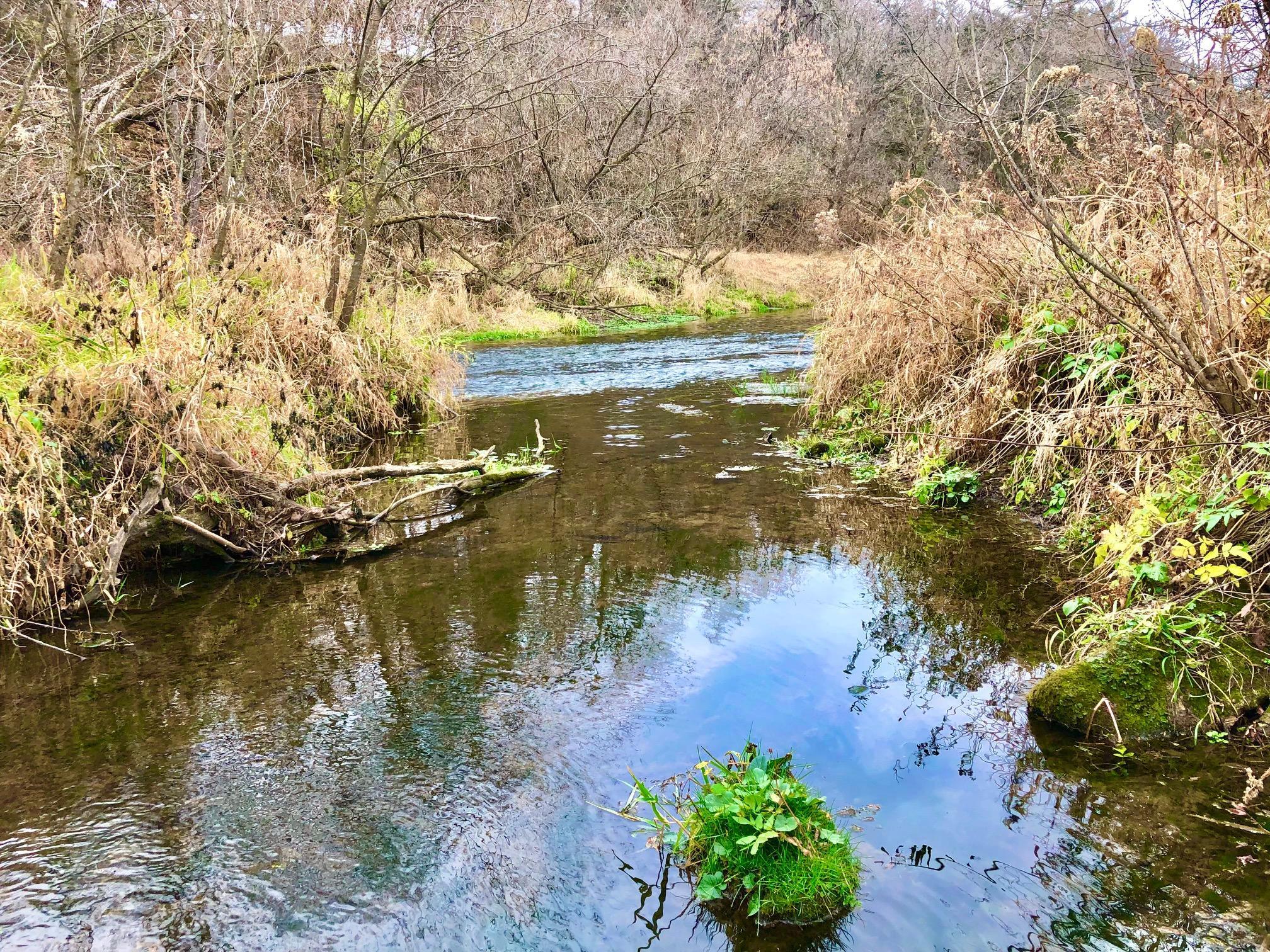
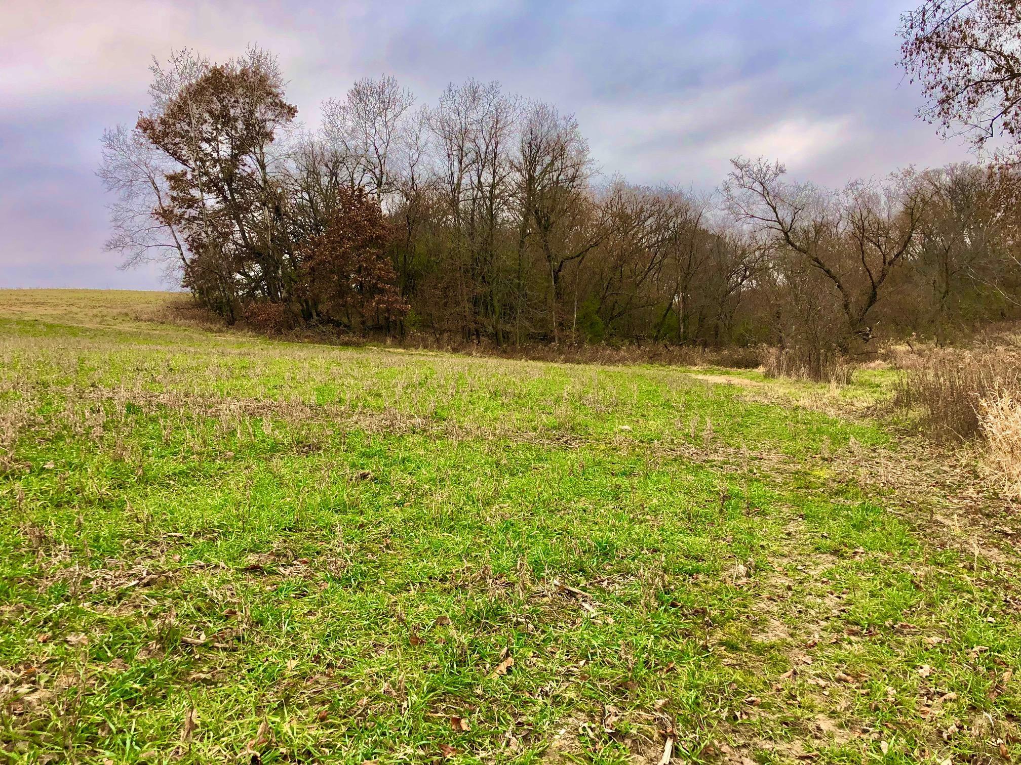
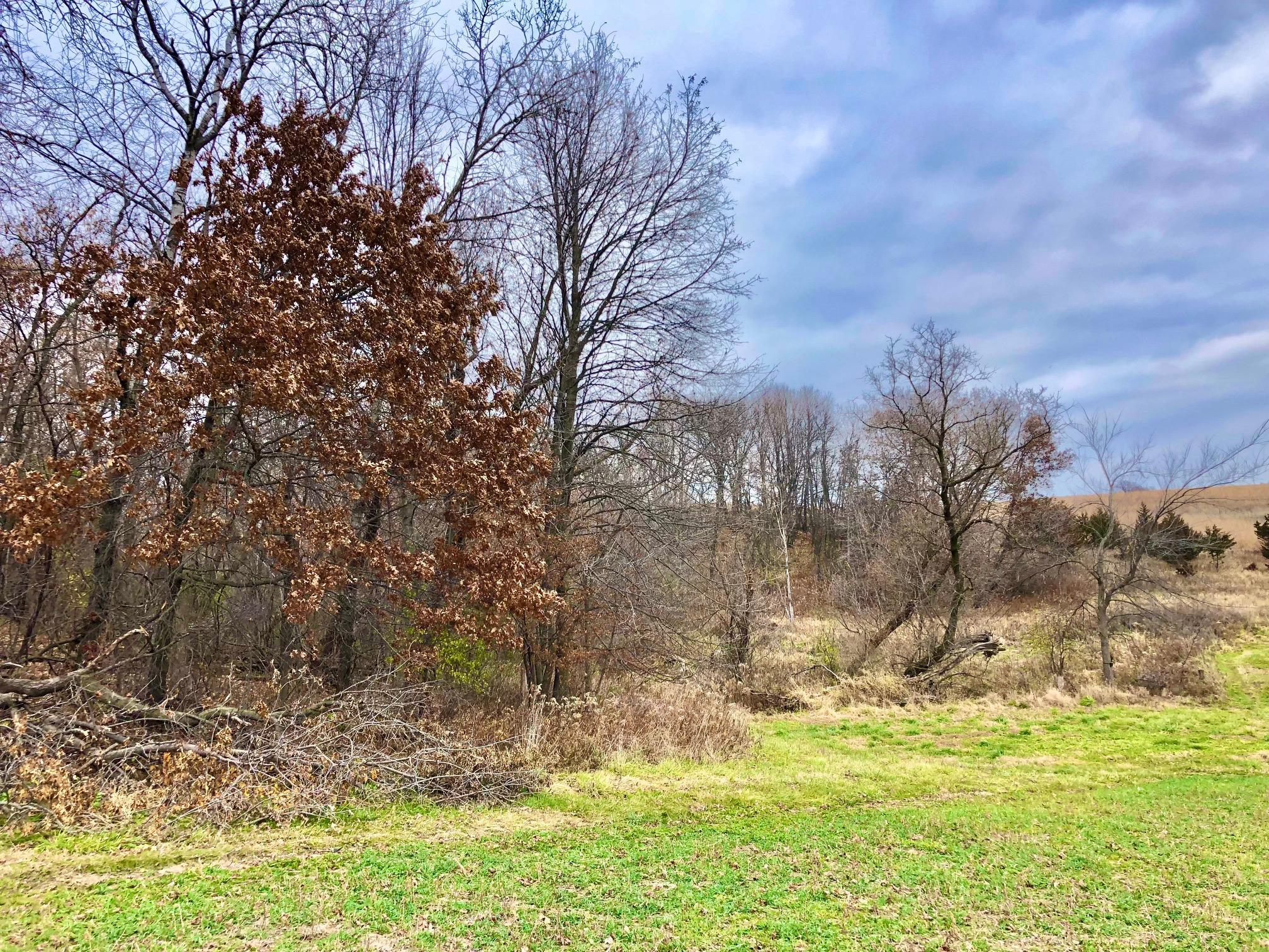
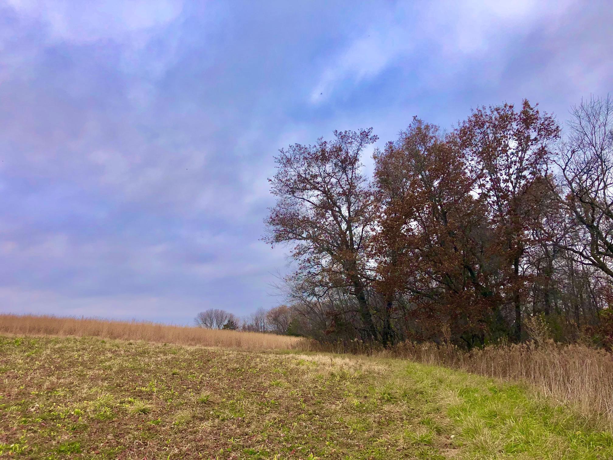
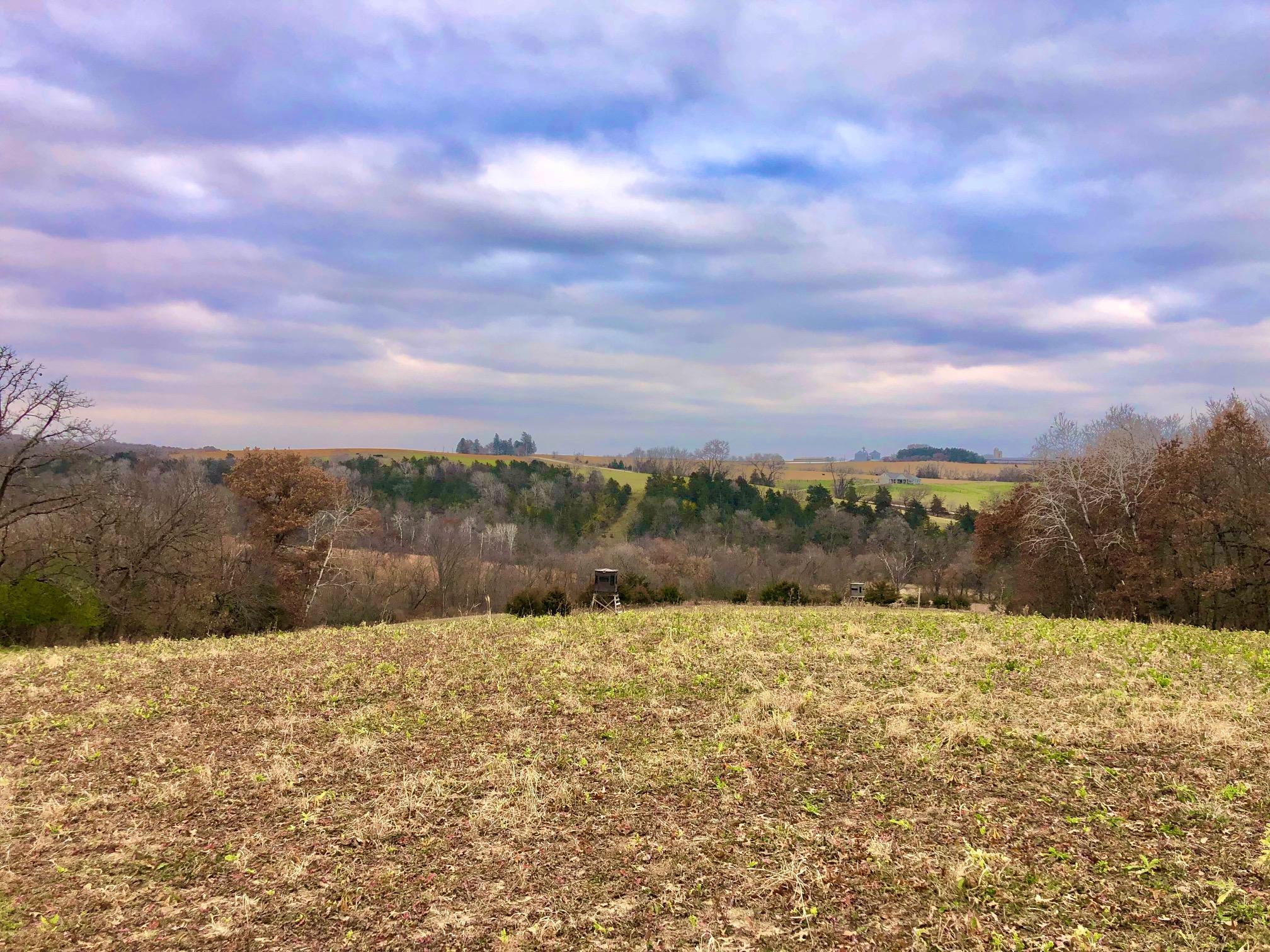
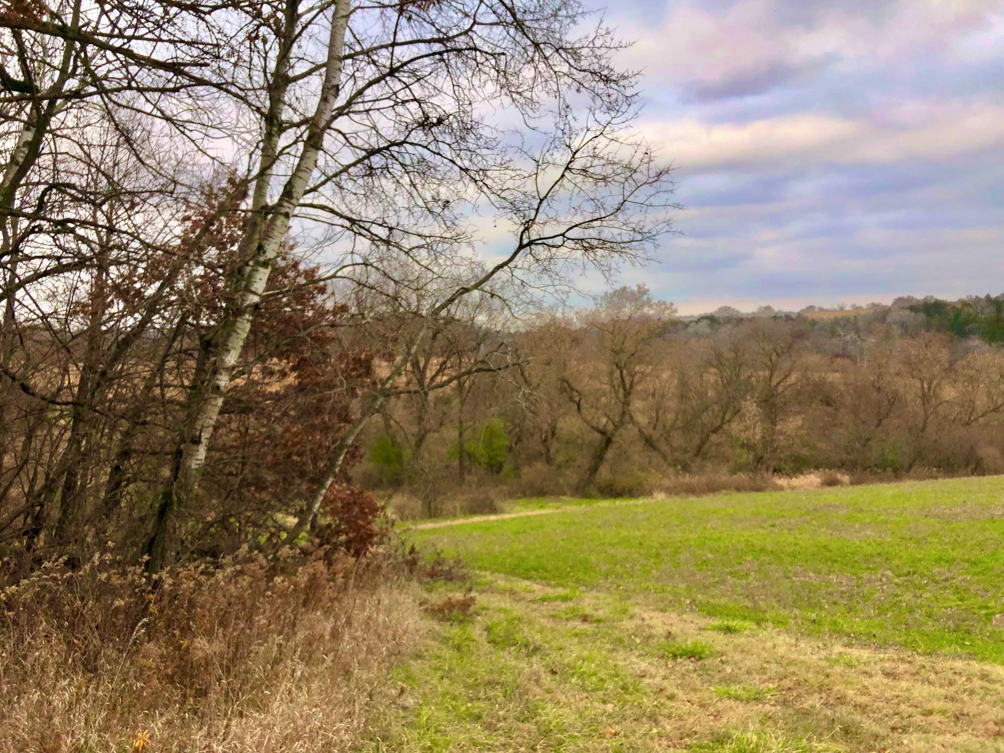
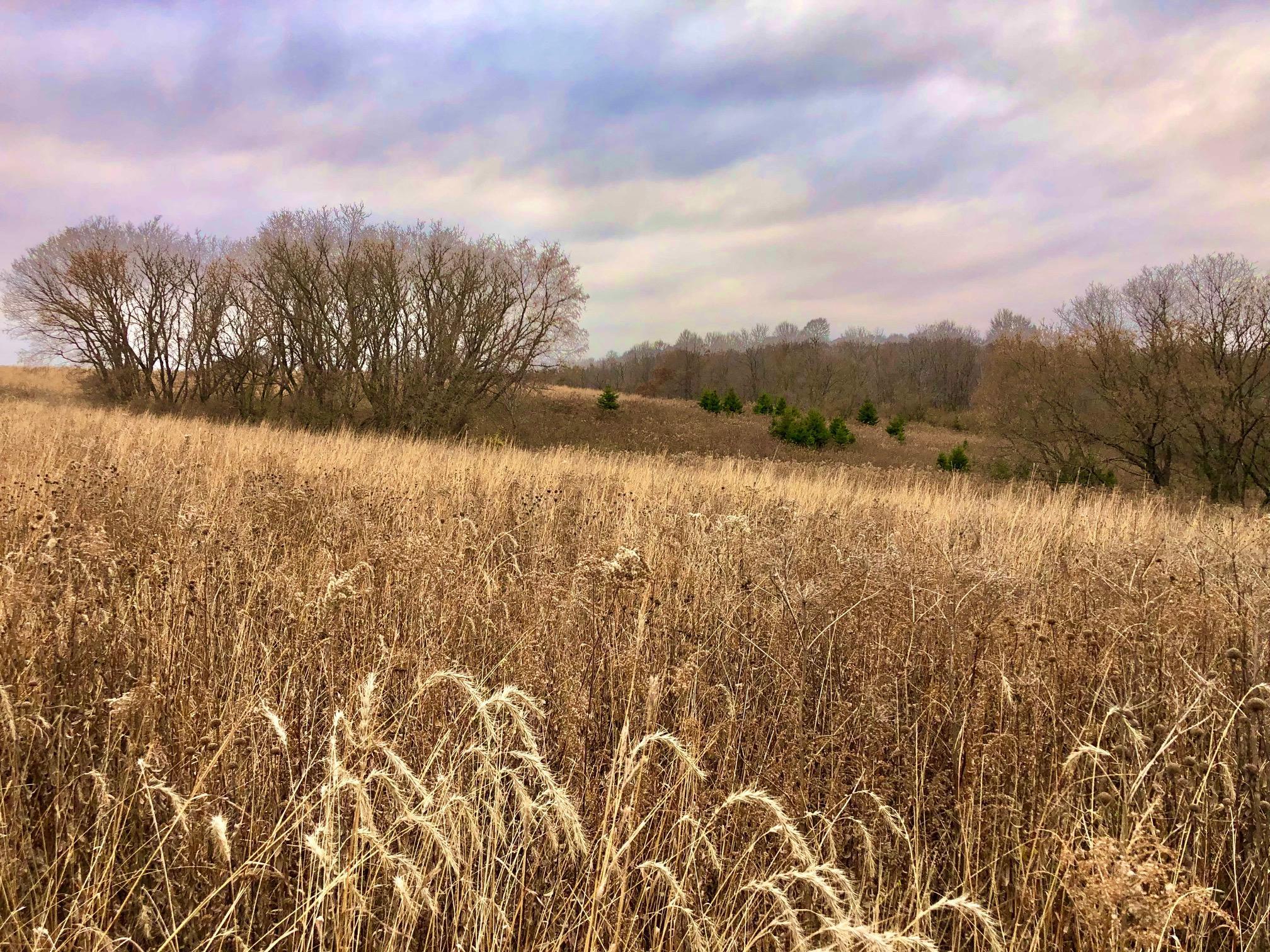
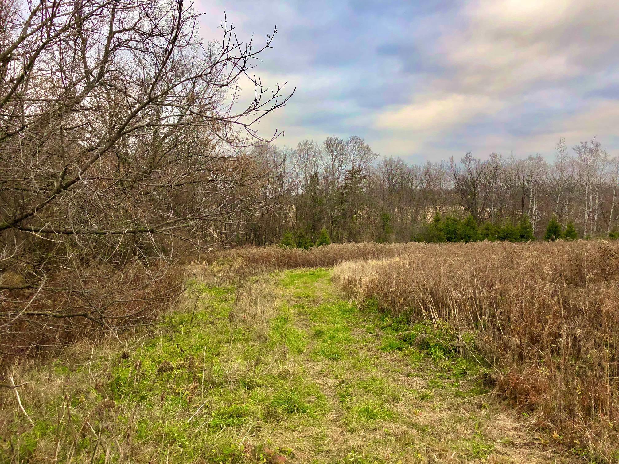
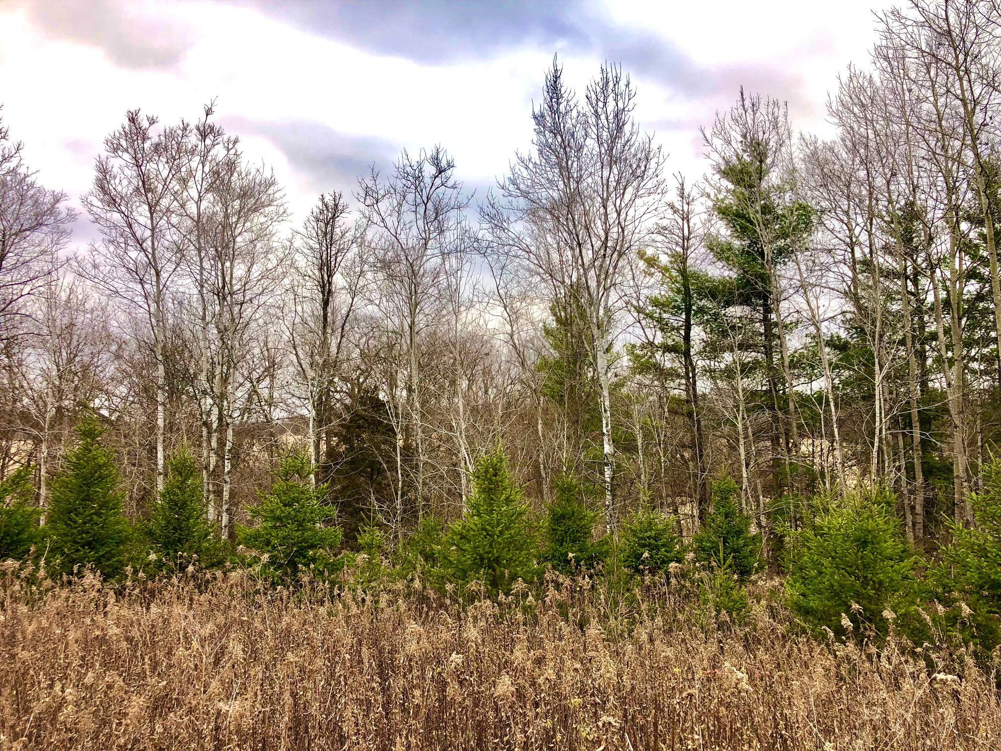
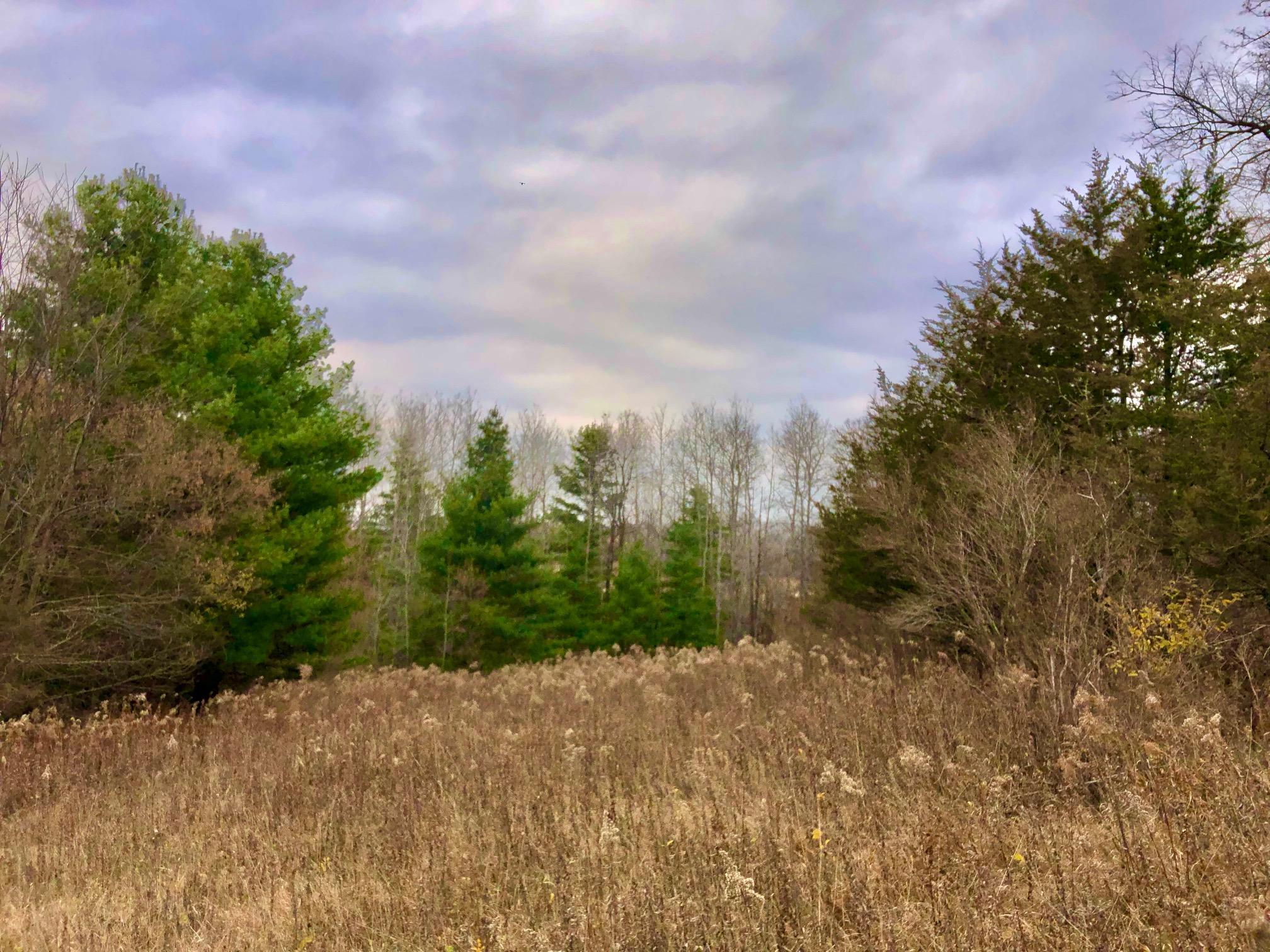
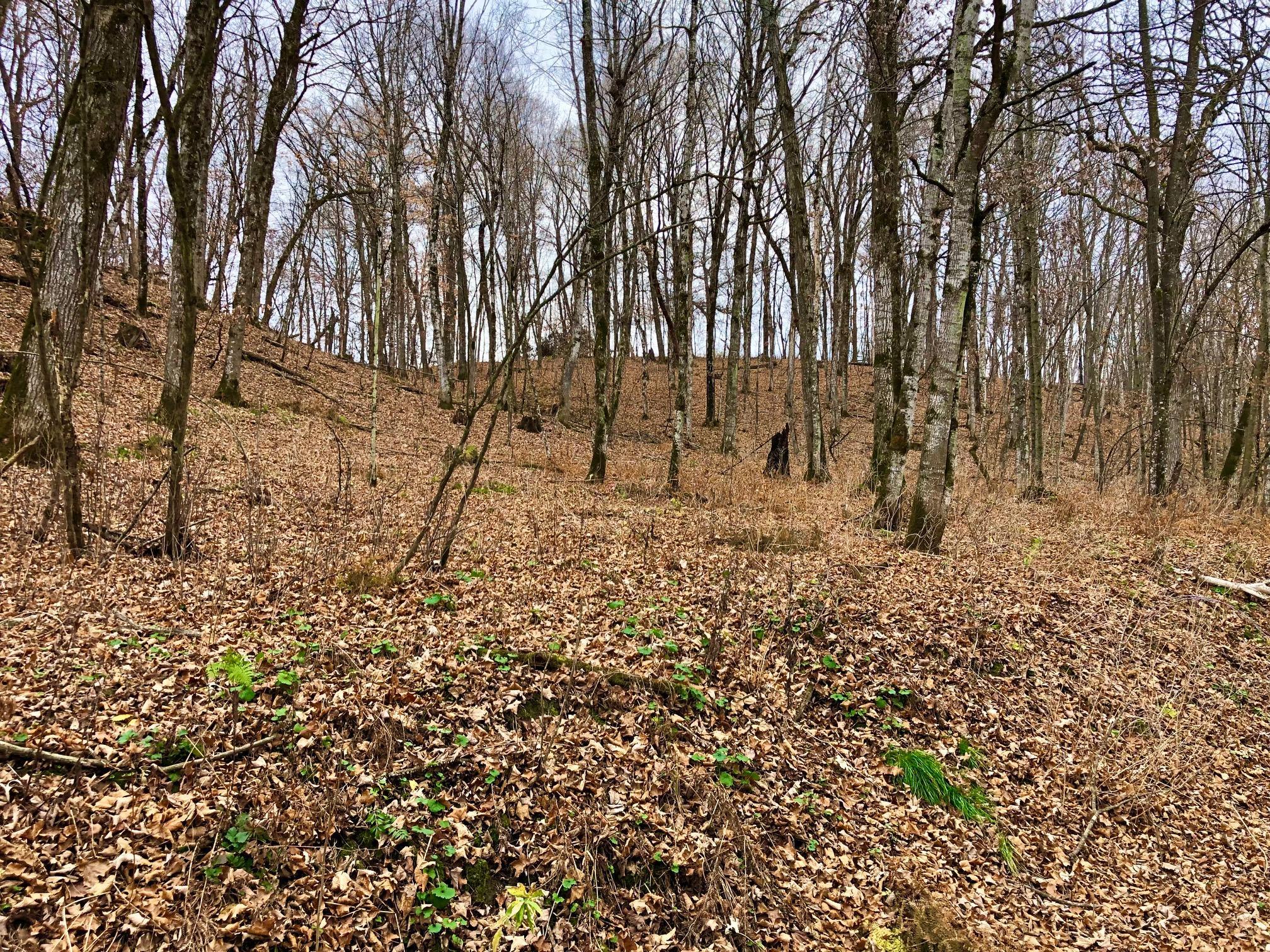
This incredibly scenic driftless area property is a prime example of conservation management and wildlife habitat improvement. Tall, warm season grasses combined with a pollinator blend has wildflowers in bloom from spring to fall. The mix of wooded draws and valleys separated by tall grass meadows holds incredible amounts of wildlife. This parcel is home to numerous turkeys and deer including many impressive bucks over the years. The owner created and maintained several acres of wildlife food plots for many years. Furthermore, you have stream frontage on two separate stretches of the legendary Trout Run, recognized as the best trout stream in the Midwest. Three different ponds further enhance this propertiesâ ability to hold game. This parcel provides over $24,000 in annual CRP payments for qualifying individuals. Conveniently located just 10 miles from Lanesboro and 35 miles from Rochester.
Details
Maps
Contract Information
Allow Auto Valuation Display?: Yes
Allow Consumer Comment: No
Status: Closed
Off Market Date: 2022-11-17
Contingency: None
Current Price: 1200000
Closed Date: 2023-01-20
Original List Price: 1350000
Sales Close Price: 1200000
ListPrice: 1350000
List Date: 2022-11-16
Owner is an Agent?: No
Auction?: No
General Property Information
Comp Sale YN: No
Lot Measurement: Acres
Multiple PIDs?: No
Plat Recorded: No
Road Btwn WF & Home?: No
Waterfront Frontage: 600
Waterfront Present: Yes
Yearly/Seasonal: Yearly
Zoning: Agriculture
Acres: 200
Lot Size SqFt: 8712000
Lake/Waterfront Name: Trout Run Creek
Assessment Pending: No
Location Tax and Other Information
House Number: TBD 200
Street Name: Gunflint Rd
Postal City: Chatfield
County: Fillmore
State: MN
Zip Code: 55923
Acreage Information
Taxable Acres: 200
Tillable Acres: 100
Wooded Acres: 100
Assessments
Tax With Assessments: 4124
Builder Information
Builder Restrictions: Open
Dimension Information
Lot Size Min: 2.5
Lake Details
Lake Name: Trout Run Creek
Lease Details
Land Leased: Not Applicable
Miscellaneous Information
FIPS Code: 27045
Homestead: No
Ownership
Fractional Ownership: No
Public Survey Info
Range#: 10
Section#: 5
Township#: 104
Property Features
Agricultural Water: Pond
Available Utilities: None Connected; Phone Available
Development Status: Raw Land
Elevation Highpoint to Waterfront Slope: Gradual
Farm Type: Crop; Tree
Fencing: Partial
Improvements: None
Internet Options: Fiber Optic
Lake Details: Gravel; Rocky; Sand; Weeds
Land Inclusions: Easements; Survey
Lock Box Type: None
Lot Description: Accessible Shoreline; CRP Land; Tillable; Tree Coverage - Medium
Road Responsibility: Public Maintained Road
Sale Options: Sell Entirely; Will Divide
Soil Type: Loam
Surface Water: Pond; Stream/Creek
Topography: Rolling; Sloped
Waterfront View: Panoramic
Listing Office: Weiss Realty LLC
Last Updated: June - 03 - 2025

The data relating to real estate for sale on this web site comes in part from the Broker Reciprocity SM Program of the Regional Multiple Listing Service of Minnesota, Inc. The information provided is deemed reliable but not guaranteed. Properties subject to prior sale, change or withdrawal. ©2024 Regional Multiple Listing Service of Minnesota, Inc All rights reserved.
Wednesday 3rd of June 2026 03:55 AM

218-998-4400
Mohagen Real Estate


Let's Connect

Mohagen Real Estate
sue@MohagenRealEstate.com
Office: 218-998-4400
Cell: 218-731-7376
Mohagen Real Estate is licensed in the State of Minnesota